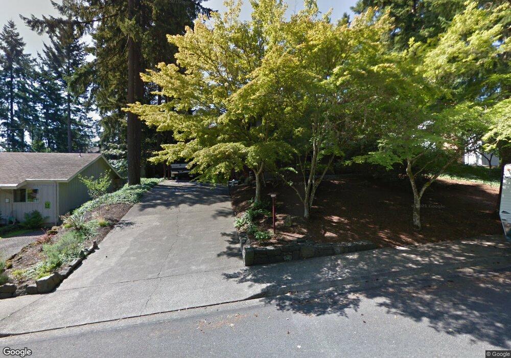
570 Empress Ave Eugene, OR 97405
Southeast Eugene NeighborhoodEstimated Value: $497,000 - $543,000
3
Beds
2
Baths
1,758
Sq Ft
$295/Sq Ft
Est. Value
About This Home
This home is located at 570 Empress Ave, Eugene, OR 97405 and is currently estimated at $518,321, approximately $294 per square foot. 570 Empress Ave is a home located in Lane County with nearby schools including Edgewood Community Elementary School, Spencer Butte Middle School, and South Eugene High School.
Ownership History
Date
Name
Owned For
Owner Type
Purchase Details
Closed on
Mar 20, 2013
Sold by
Bergman Cathy D and Bergman Kate D
Bought by
Bergman Cathy D
Current Estimated Value
Home Financials for this Owner
Home Financials are based on the most recent Mortgage that was taken out on this home.
Original Mortgage
$134,000
Outstanding Balance
$26,586
Interest Rate
3.49%
Mortgage Type
New Conventional
Estimated Equity
$491,735
Purchase Details
Closed on
May 8, 2002
Sold by
Sullivan Michael J and Sullivan Nina N
Bought by
Bergman Kate D
Home Financials for this Owner
Home Financials are based on the most recent Mortgage that was taken out on this home.
Original Mortgage
$137,650
Interest Rate
7.18%
Create a Home Valuation Report for This Property
The Home Valuation Report is an in-depth analysis detailing your home's value as well as a comparison with similar homes in the area
Home Values in the Area
Average Home Value in this Area
Purchase History
| Date | Buyer | Sale Price | Title Company |
|---|---|---|---|
| Bergman Cathy D | -- | Evergreen Land Title Co | |
| Bergman Kate D | $172,100 | Western Pioneer Title Co |
Source: Public Records
Mortgage History
| Date | Status | Borrower | Loan Amount |
|---|---|---|---|
| Open | Bergman Cathy D | $134,000 | |
| Closed | Bergman Kate D | $137,650 |
Source: Public Records
Tax History
| Year | Tax Paid | Tax Assessment Tax Assessment Total Assessment is a certain percentage of the fair market value that is determined by local assessors to be the total taxable value of land and additions on the property. | Land | Improvement |
|---|---|---|---|---|
| 2025 | $4,693 | $240,869 | -- | -- |
| 2024 | $4,635 | $233,854 | -- | -- |
| 2023 | $4,635 | $227,043 | $0 | $0 |
| 2022 | $4,342 | $220,431 | $0 | $0 |
| 2021 | $4,078 | $214,011 | $0 | $0 |
| 2020 | $4,093 | $207,778 | $0 | $0 |
| 2019 | $3,953 | $201,727 | $0 | $0 |
| 2018 | $3,721 | $190,148 | $0 | $0 |
| 2017 | $3,554 | $190,148 | $0 | $0 |
| 2016 | $3,466 | $184,610 | $0 | $0 |
| 2015 | $3,366 | $179,233 | $0 | $0 |
| 2014 | $3,298 | $174,013 | $0 | $0 |
Source: Public Records
Map
Nearby Homes
- 4845 Brookwood St
- 4734 Brookwood St
- 395 E 46th Ave
- 4680 W Hillside Dr
- 296 Woodridge Dr
- 4425 Hilyard St
- 892 Sprague St
- 36 Westbrook Way
- 202 Foxtail Dr
- 4295 Ferry St
- 21 Westbrook Way
- 17 Westbrook Way
- 4429 Fox Hollow Rd Unit 3
- 126 Treehill Loop Unit 126
- 4733 E Amazon Dr
- 143 Treehill Loop Unit 143
- 152 Treehill Loop Unit 152
- 278 Rockridge Ct
- 4364 Fox Hollow Rd
- 151 Treehill Loop Unit 151
- 530 Empress Ave
- 594 Empress Ave
- 5190 Miramar St
- 5210 Miramar St
- 5180 Miramar St
- 585 Empress Ave
- 536 Empress Ave
- 567 Empress Ave
- 610 Empress Ave
- 5220 Miramar St
- 599 Empress Ave
- 5170 Miramar St
- 535 Empress Ave
- 5195 Miramar St
- 628 Empress Ave
- 5215 Miramar St
- 5150 Miramar St
- 5199 Imperial St
- 0 Miramar St Unit 8 9062174
- 0 Miramar St Unit 2 9062168
Your Personal Tour Guide
Ask me questions while you tour the home.