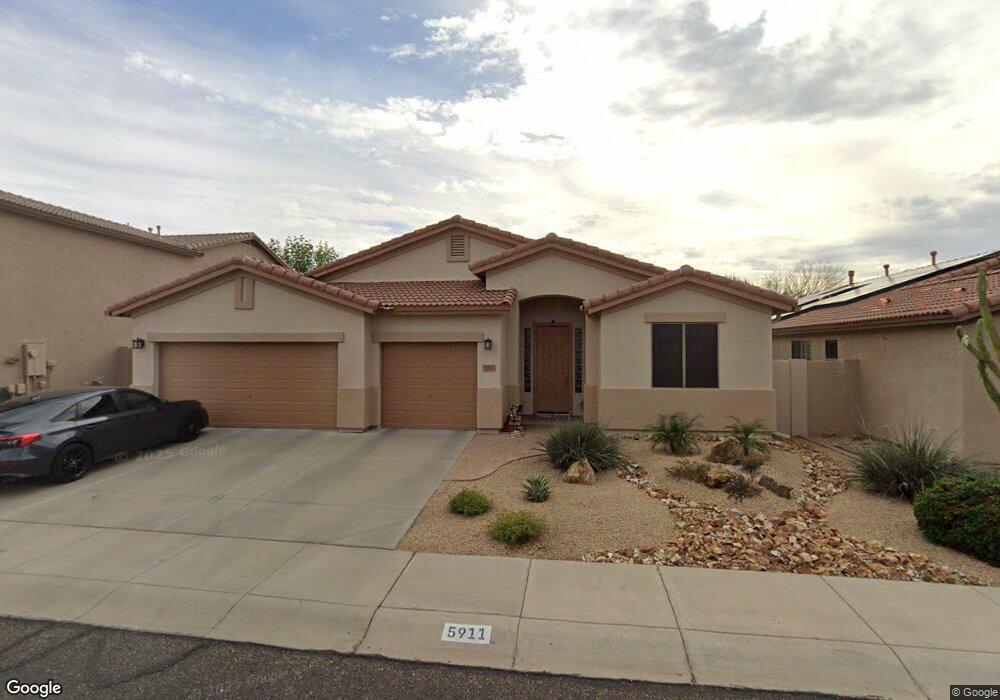
5911 W Running Deer Trail Phoenix, AZ 85083
Stetson Valley NeighborhoodEstimated Value: $532,178 - $632,000
--
Bed
3
Baths
2,340
Sq Ft
$254/Sq Ft
Est. Value
About This Home
This home is located at 5911 W Running Deer Trail, Phoenix, AZ 85083 and is currently estimated at $594,795, approximately $254 per square foot. 5911 W Running Deer Trail is a home located in Maricopa County with nearby schools including Hillcrest Middle School, Sandra Day O'connor High School, and Happy Valley School.
Ownership History
Date
Name
Owned For
Owner Type
Purchase Details
Closed on
Jan 16, 2014
Sold by
Edwards Michael W and Edwards Jennifer M
Bought by
Edwards Michael W and Edwards Jennifer M
Current Estimated Value
Home Financials for this Owner
Home Financials are based on the most recent Mortgage that was taken out on this home.
Original Mortgage
$145,500
Outstanding Balance
$76,289
Interest Rate
4.4%
Mortgage Type
New Conventional
Estimated Equity
$518,506
Purchase Details
Closed on
May 5, 2003
Sold by
Maracay Pyramid Llc
Bought by
Edwards Michael W and Lewis Jennifer M
Home Financials for this Owner
Home Financials are based on the most recent Mortgage that was taken out on this home.
Original Mortgage
$175,300
Interest Rate
5.77%
Mortgage Type
New Conventional
Create a Home Valuation Report for This Property
The Home Valuation Report is an in-depth analysis detailing your home's value as well as a comparison with similar homes in the area
Home Values in the Area
Average Home Value in this Area
Purchase History
| Date | Buyer | Sale Price | Title Company |
|---|---|---|---|
| Edwards Michael W | -- | None Available | |
| Edwards Michael W | $222,682 | First American Title Ins Co |
Source: Public Records
Mortgage History
| Date | Status | Borrower | Loan Amount |
|---|---|---|---|
| Open | Edwards Michael W | $145,500 | |
| Closed | Edwards Michael W | $175,300 |
Source: Public Records
Tax History Compared to Growth
Tax History
| Year | Tax Paid | Tax Assessment Tax Assessment Total Assessment is a certain percentage of the fair market value that is determined by local assessors to be the total taxable value of land and additions on the property. | Land | Improvement |
|---|---|---|---|---|
| 2025 | $2,693 | $30,967 | -- | -- |
| 2024 | $2,620 | $29,493 | -- | -- |
| 2023 | $2,620 | $42,560 | $8,510 | $34,050 |
| 2022 | $2,523 | $32,870 | $6,570 | $26,300 |
| 2021 | $2,635 | $30,710 | $6,140 | $24,570 |
| 2020 | $2,587 | $29,100 | $5,820 | $23,280 |
| 2019 | $2,508 | $27,560 | $5,510 | $22,050 |
| 2018 | $2,420 | $26,300 | $5,260 | $21,040 |
| 2017 | $2,337 | $24,330 | $4,860 | $19,470 |
| 2016 | $2,205 | $24,650 | $4,930 | $19,720 |
| 2015 | $1,969 | $24,600 | $4,920 | $19,680 |
Source: Public Records
Map
Nearby Homes
- 6003 W Oberlin Way
- 6022 W Oberlin Way
- 6016 W Gambit Trail
- 27713 N 57th Dr
- 5815 W Straight Arrow Ln
- 5909 W Fetlock Trail
- 5557 W Mine Trail
- 27317 N 63rd Dr
- 6409 W Lucia Dr
- 6503 W Eagle Talon Trail
- 27627 N 65th Dr
- 6202 W Maya Dr
- 5537 W Desperado Way
- 27222 N 64th Dr
- 27920 N 65th Ln
- 28623 N 66th Ave
- 28713 N 66th Ave
- 6619 W Cordia Ln
- 6439 W Tombstone Trail
- 6527 W Gold Mountain Pass
- 5915 W Running Deer Trail
- 5914 W Blue Sky Dr
- 5919 W Running Deer Trail
- 5918 W Blue Sky Dr
- 5906 W Blue Sky Dr
- 5912 W Running Deer Trail
- 5922 W Blue Sky Dr
- 5923 W Running Deer Trail
- 5916 W Running Deer Trail
- 5904 W Running Deer Trail
- 27827 N 59th Dr
- 27831 N 59th Dr
- 5920 W Running Deer Trail
- 27823 N 59th Dr
- 5976 W Blue Sky Dr
- 5926 W Blue Sky Dr
- 5927 W Running Deer Trail
- 27819 N 59th Dr
- 5924 W Running Deer Trail
- 5917 W Blue Sky Dr