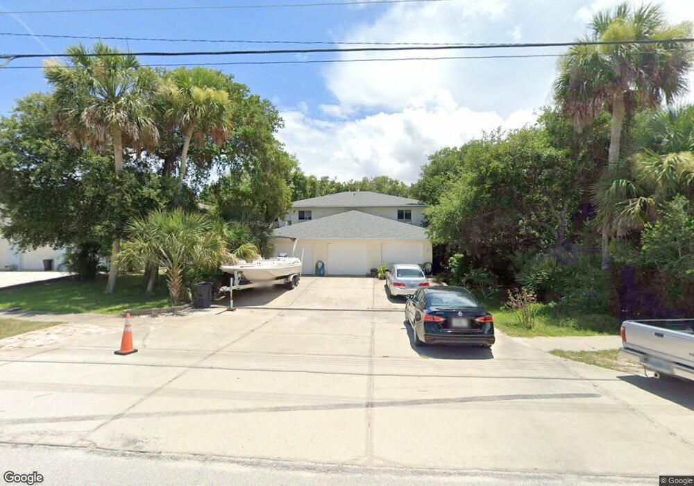
601 E 2nd Ave New Smyrna Beach, FL 32169
Central Beach NeighborhoodEstimated Value: $867,615 - $2,180,000
3
Beds
2
Baths
4,260
Sq Ft
$311/Sq Ft
Est. Value
About This Home
This home is located at 601 E 2nd Ave, New Smyrna Beach, FL 32169 and is currently estimated at $1,325,538, approximately $311 per square foot. 601 E 2nd Ave is a home located in Volusia County with nearby schools including Coronado Beach Elementary School, New Smyrna Beach Middle School, and New Smyrna Beach High School.
Ownership History
Date
Name
Owned For
Owner Type
Purchase Details
Closed on
Apr 29, 2004
Sold by
Benoist Leonel L
Bought by
Hubbs David and Hubbs Gwendolyn A
Current Estimated Value
Home Financials for this Owner
Home Financials are based on the most recent Mortgage that was taken out on this home.
Original Mortgage
$281,250
Outstanding Balance
$120,191
Interest Rate
4.25%
Mortgage Type
Commercial
Estimated Equity
$1,205,347
Purchase Details
Closed on
Apr 30, 2001
Sold by
Coomber James
Bought by
Benoist Leonel L
Home Financials for this Owner
Home Financials are based on the most recent Mortgage that was taken out on this home.
Original Mortgage
$197,000
Interest Rate
6.9%
Mortgage Type
Commercial
Create a Home Valuation Report for This Property
The Home Valuation Report is an in-depth analysis detailing your home's value as well as a comparison with similar homes in the area
Home Values in the Area
Average Home Value in this Area
Purchase History
| Date | Buyer | Sale Price | Title Company |
|---|---|---|---|
| Hubbs David | $375,000 | Associated Land Title Group | |
| Benoist Leonel L | $269,900 | -- |
Source: Public Records
Mortgage History
| Date | Status | Borrower | Loan Amount |
|---|---|---|---|
| Open | Hubbs David | $281,250 | |
| Previous Owner | Benoist Leonel L | $197,000 |
Source: Public Records
Tax History Compared to Growth
Tax History
| Year | Tax Paid | Tax Assessment Tax Assessment Total Assessment is a certain percentage of the fair market value that is determined by local assessors to be the total taxable value of land and additions on the property. | Land | Improvement |
|---|---|---|---|---|
| 2025 | $9,251 | $602,796 | $195,000 | $407,796 |
| 2024 | $9,251 | $599,070 | $195,000 | $404,070 |
| 2023 | $9,251 | $567,404 | $175,500 | $391,904 |
| 2022 | $8,109 | $476,100 | $146,250 | $329,850 |
| 2021 | $7,753 | $431,501 | $124,313 | $307,188 |
| 2020 | $7,673 | $425,628 | $124,313 | $301,315 |
| 2019 | $7,500 | $400,562 | $119,438 | $281,124 |
| 2018 | $7,333 | $395,676 | $117,000 | $278,676 |
| 2017 | $7,122 | $395,843 | $117,000 | $278,843 |
| 2016 | $6,907 | $356,994 | $0 | $0 |
| 2015 | $6,566 | $328,581 | $0 | $0 |
| 2014 | $5,835 | $267,803 | $0 | $0 |
Source: Public Records
Map
Nearby Homes
- 806 E 2nd Ave
- 657 S Pine St
- 1304 Saxon Dr
- 429 E 3rd Ave
- 650 S Pine St
- 350 E 2nd Ave
- 653 Goodwin Ave
- 821 E 1st Ave
- 724 S Cooper St
- 622 Yupon Ave
- 910 Locust St
- 541 S Peninsula Ave Unit A18
- 535 S Peninsula Ave
- 910 Maple St Unit A & B
- 617 Goodwin Ave
- 704 Horton St
- 923 Locust St
- 550 S Peninsula Ave
- 830 Maralyn Ave
- 821 Ocean Ave
- 605 E 2nd Ave
- 603 E 2nd Ave
- 609 E 2nd Ave
- 607 E 2nd Ave Unit 607
- 607 E 2nd Ave Unit 609
- 607 E 2nd Ave Unit 611
- 607 E 2nd Ave
- 624 E 3rd Ave Unit 3
- 620 E 3rd Ave
- 622 E 3rd Ave
- 622 E 3rd Ave Unit 622
- 626 E 3rd Ave Unit 4
- 626 E 3rd Ave
- 638 E 3rd Ave Unit 10
- 632 E 3rd Ave
- 852 Evergreen St
- 634 E 3rd Ave Unit 8
- 631 E 2nd Ave Unit 8ABC
- 631 E 2nd Ave
- 631 E 2nd Ave Unit 13