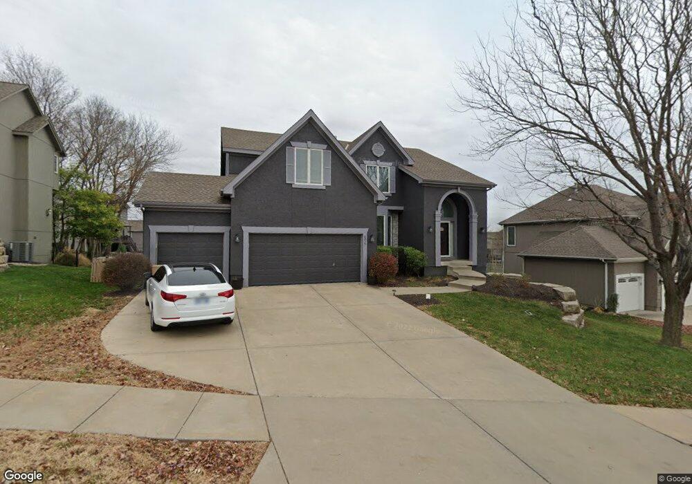
6017 Brownridge Dr Shawnee, KS 66218
Estimated Value: $530,000 - $588,000
4
Beds
5
Baths
2,581
Sq Ft
$219/Sq Ft
Est. Value
About This Home
This home is located at 6017 Brownridge Dr, Shawnee, KS 66218 and is currently estimated at $564,338, approximately $218 per square foot. 6017 Brownridge Dr is a home located in Johnson County with nearby schools including Clear Creek Elementary School, Monticello Trails Middle School, and Mill Valley High School.
Ownership History
Date
Name
Owned For
Owner Type
Purchase Details
Closed on
Feb 7, 2002
Sold by
S C C Investors Llc
Bought by
Woodstone Homes Inc
Current Estimated Value
Home Financials for this Owner
Home Financials are based on the most recent Mortgage that was taken out on this home.
Original Mortgage
$234,250
Interest Rate
7.11%
Create a Home Valuation Report for This Property
The Home Valuation Report is an in-depth analysis detailing your home's value as well as a comparison with similar homes in the area
Home Values in the Area
Average Home Value in this Area
Purchase History
| Date | Buyer | Sale Price | Title Company |
|---|---|---|---|
| Woodstone Homes Inc | -- | Security Land Title Company |
Source: Public Records
Mortgage History
| Date | Status | Borrower | Loan Amount |
|---|---|---|---|
| Previous Owner | Woodstone Homes Inc | $234,250 |
Source: Public Records
Tax History
| Year | Tax Paid | Tax Assessment Tax Assessment Total Assessment is a certain percentage of the fair market value that is determined by local assessors to be the total taxable value of land and additions on the property. | Land | Improvement |
|---|---|---|---|---|
| 2025 | $7,046 | $65,182 | $12,250 | $52,932 |
| 2024 | $7,046 | $60,375 | $10,649 | $49,726 |
| 2023 | $6,934 | $58,915 | $10,649 | $48,266 |
| 2022 | $6,484 | $53,981 | $9,678 | $44,303 |
| 2021 | $6,092 | $48,852 | $8,796 | $40,056 |
| 2020 | $5,974 | $47,472 | $8,796 | $38,676 |
| 2019 | $5,808 | $45,471 | $7,650 | $37,821 |
| 2018 | $5,433 | $42,148 | $7,550 | $34,598 |
| 2017 | $5,516 | $41,757 | $6,568 | $35,189 |
| 2016 | $5,480 | $40,975 | $6,256 | $34,719 |
| 2015 | $5,327 | $39,077 | $6,256 | $32,821 |
| 2013 | -- | $39,652 | $6,256 | $33,396 |
Source: Public Records
Map
Nearby Homes
- 5929 Lone Elm Rd
- 21605 W 60th Terrace
- 6015 Noreston St
- 21710 W 62nd St
- 21519 W 58th St
- 5815 Lakecrest Dr
- 21619 W 62nd St
- 21603 W 62nd St
- 21910 W 57th Terrace
- 6344 Noreston St
- 5619 Theden St
- 6344 Lakecrest Dr
- 5837 Millbrook St
- 21218 W 56th St
- 6412 Noreston St
- 22218 W 57th St
- 6409 Chouteau St
- 7939 Noble St
- 24621 W 60th St
- 24612 W 60th St
- 6021 Brownridge Dr
- 6013 Brownridge Dr
- 21303 W 60th St
- 6025 Brownridge Dr
- 6009 Brownridge Dr
- 6016 Brownridge Dr
- 6020 Lakecrest Dr
- 6024 Lakecrest Dr
- 21231 W 60th St
- 6020 Brownridge Dr
- 21308 W 60th St
- 6024 Brownridge Dr
- 6001 Lone Elm Rd
- 6005 Lone Elm Rd
- 6005 Brownridge Dr
- 6009 Lone Elm Rd
- 6016 Lakecrest Dr
- 6028 Brownridge Dr
- 21227 W 60th St
- 6028 Lakecrest Dr
Your Personal Tour Guide
Ask me questions while you tour the home.