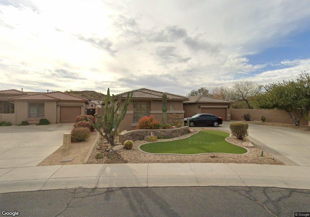
6023 W Bent Tree Dr Phoenix, AZ 85083
Stetson Valley NeighborhoodEstimated Value: $647,782 - $736,000
Studio
4
Baths
2,605
Sq Ft
$269/Sq Ft
Est. Value
About This Home
This home is located at 6023 W Bent Tree Dr, Phoenix, AZ 85083 and is currently estimated at $700,696, approximately $268 per square foot. 6023 W Bent Tree Dr is a home located in Maricopa County with nearby schools including Hillcrest Middle School, Sandra Day O'connor High School, and Happy Valley School.
Ownership History
Date
Name
Owned For
Owner Type
Purchase Details
Closed on
Mar 27, 2003
Sold by
Maracay Pyramid Llc
Bought by
Cherry Harold Michael and Cherry Nancy D
Current Estimated Value
Home Financials for this Owner
Home Financials are based on the most recent Mortgage that was taken out on this home.
Original Mortgage
$200,000
Outstanding Balance
$86,108
Interest Rate
5.78%
Mortgage Type
New Conventional
Estimated Equity
$614,588
Create a Home Valuation Report for This Property
The Home Valuation Report is an in-depth analysis detailing your home's value as well as a comparison with similar homes in the area
Home Values in the Area
Average Home Value in this Area
Purchase History
| Date | Buyer | Sale Price | Title Company |
|---|---|---|---|
| Cherry Harold Michael | $304,769 | First American Title Ins Co |
Source: Public Records
Mortgage History
| Date | Status | Borrower | Loan Amount |
|---|---|---|---|
| Open | Cherry Harold Michael | $200,000 |
Source: Public Records
Tax History
| Year | Tax Paid | Tax Assessment Tax Assessment Total Assessment is a certain percentage of the fair market value that is determined by local assessors to be the total taxable value of land and additions on the property. | Land | Improvement |
|---|---|---|---|---|
| 2025 | $3,371 | $38,719 | -- | -- |
| 2024 | $3,276 | $36,875 | -- | -- |
| 2023 | $3,276 | $51,580 | $10,310 | $41,270 |
| 2022 | $3,155 | $39,530 | $7,900 | $31,630 |
| 2021 | $3,295 | $37,200 | $7,440 | $29,760 |
| 2020 | $3,235 | $35,580 | $7,110 | $28,470 |
| 2019 | $3,135 | $33,780 | $6,750 | $27,030 |
| 2018 | $3,026 | $32,020 | $6,400 | $25,620 |
| 2017 | $2,922 | $29,950 | $5,990 | $23,960 |
| 2016 | $2,757 | $30,380 | $6,070 | $24,310 |
| 2015 | $2,461 | $31,260 | $6,250 | $25,010 |
Source: Public Records
Map
Nearby Homes
- 27417 N 60th Ln
- 6119 W Hedgehog Place
- 6016 W Gambit Trail
- 6003 W Oberlin Way
- 6022 W Oberlin Way
- 6133 W Fetlock Trail
- 27317 N 63rd Dr
- 27415 N 63rd Dr
- 6042 W Running Deer Trail
- 5909 W Fetlock Trail
- 6404 W Black Hill Rd
- 6202 W Maya Dr
- 27713 N 57th Dr
- 6503 W Eagle Talon Trail
- 27220 N 65th Dr
- 6530 W Bent Tree Dr
- 6529 W Buckhorn Trail Unit 11
- 5557 W Mine Trail
- 6409 W Lucia Dr
- 6439 W Tombstone Trail
- 6019 W Bent Tree Dr
- 6110 N Hedgehog Place
- 6110 W Hedgehog Place
- 6106 W Hedgehog Place
- 6114 W Hedgehog Place
- 6022 W Bent Tree Dr
- 6032 W Gambit Trail
- 27421 N 60th Ln
- 6018 W Bent Tree Dr
- 6118 W Hedgehog Place Unit 1
- 27413 N 60th Ln
- 6028 W Gambit Trail
- 6122 W Hedgehog Place
- 27409 N 60th Ln
- 6111 W Hedgehog Place
- 6010 W Bent Tree Dr
- 6024 W Gambit Trail
- 6115 W Hedgehog Place
- 5947 W Hedgehog Place
- 27422 N 60th Dr