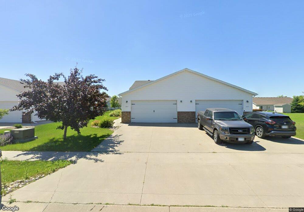
605 32 1 2 St N Moorhead, MN 56560
Estimated Value: $249,000 - $290,000
3
Beds
2
Baths
1,884
Sq Ft
$143/Sq Ft
Est. Value
About This Home
This home is located at 605 32 1 2 St N, Moorhead, MN 56560 and is currently estimated at $269,423, approximately $143 per square foot. 605 32 1 2 St N is a home located in Clay County with nearby schools including R. Asp Elementary School, Horizon Middle School, and Moorhead High School.
Ownership History
Date
Name
Owned For
Owner Type
Purchase Details
Closed on
Dec 18, 2019
Sold by
Hewson Rachel
Bought by
Hewson Trust
Current Estimated Value
Purchase Details
Closed on
Dec 17, 2019
Sold by
Mjolsness Trust
Bought by
Hewson Rachel
Purchase Details
Closed on
Nov 18, 2016
Sold by
Mjolsness Steven J
Bought by
Mjolsness Trust
Purchase Details
Closed on
Oct 20, 2006
Sold by
Bmw Homes Inc
Bought by
Mjolsness Steven
Purchase Details
Closed on
Jul 11, 2006
Sold by
Bmw Homes Inc
Bought by
Waller Andrew M
Home Financials for this Owner
Home Financials are based on the most recent Mortgage that was taken out on this home.
Original Mortgage
$109,509
Interest Rate
6.73%
Mortgage Type
New Conventional
Create a Home Valuation Report for This Property
The Home Valuation Report is an in-depth analysis detailing your home's value as well as a comparison with similar homes in the area
Home Values in the Area
Average Home Value in this Area
Purchase History
| Date | Buyer | Sale Price | Title Company |
|---|---|---|---|
| Hewson Trust | -- | None Available | |
| Hewson Rachel | -- | None Available | |
| Mjolsness Trust | -- | -- | |
| Mjolsness Steven | $132,900 | None Available | |
| Waller Andrew M | $136,884 | None Available |
Source: Public Records
Mortgage History
| Date | Status | Borrower | Loan Amount |
|---|---|---|---|
| Previous Owner | Waller Andrew M | $109,509 |
Source: Public Records
Tax History Compared to Growth
Tax History
| Year | Tax Paid | Tax Assessment Tax Assessment Total Assessment is a certain percentage of the fair market value that is determined by local assessors to be the total taxable value of land and additions on the property. | Land | Improvement |
|---|---|---|---|---|
| 2025 | $3,942 | $239,900 | $21,300 | $218,600 |
| 2024 | $3,942 | $227,300 | $25,200 | $202,100 |
| 2023 | $3,910 | $203,500 | $25,200 | $178,300 |
| 2022 | $3,770 | $192,800 | $23,300 | $169,500 |
| 2021 | $3,920 | $177,400 | $21,300 | $156,100 |
| 2020 | $3,890 | $175,800 | $21,300 | $154,500 |
| 2019 | $3,686 | $175,800 | $21,300 | $154,500 |
| 2018 | $3,698 | $170,100 | $21,300 | $148,800 |
| 2017 | $3,608 | $168,500 | $21,300 | $147,200 |
| 2016 | $3,572 | $164,600 | $21,300 | $143,300 |
| 2015 | $3,288 | $141,500 | $21,400 | $120,100 |
| 2014 | $3,364 | $141,500 | $21,400 | $120,100 |
Source: Public Records
Map
Nearby Homes
- 600 32nd St N
- 611 33rd St N
- 427 33rd St N
- 3312 5th Ave N
- 521 Kroshus Dr
- 204 5th St NW Unit D
- 1108 20th St N
- 732 Center Ave W Unit Lot 12
- 732 Center Ave W Unit Lot 13
- 1220 20th St N
- 1814 10th Ave N
- 453 Rensvold Blvd
- 300 4th Ave NW
- 433 Kroshus Dr
- 1806 10th Ave N
- 108 3rd St NW
- 2225 4th Ave S
- 310 Center Ave W
- 525 Maple Ln
- 420 17th St N
- 605 32 1/2 St N
- 605 32 1/2 St N
- 547 32 1/2 St N
- 607 32 1 2 St N
- 607 32 1/2 St N
- 547 32 1 2 St N
- 545 32 1/2 St N
- 545 32 1/2 St N
- 623 32 1 2 St N
- 529 32 1 2 St N
- 529 32 1/2 St N
- 612 32nd St N
- 614 32nd St N
- 608 32nd St N
- 641 32 1/2 St N
- 641 32 1/2 St N
- 612 32 St N
- 606 32nd St N
- 620 32nd St N
- 527 32 1 2 St N