6160 Bunker Rd Eaton Rapids, MI 48827
Estimated Value: $308,000 - $655,000
4
Beds
4
Baths
2,742
Sq Ft
$179/Sq Ft
Est. Value
About This Home
This home is located at 6160 Bunker Rd, Eaton Rapids, MI 48827 and is currently estimated at $490,036, approximately $178 per square foot. 6160 Bunker Rd is a home located in Ingham County with nearby schools including Lockwood Elementary School, Greyhound Intermediate School, and Eaton Rapids Middle School.
Ownership History
Date
Name
Owned For
Owner Type
Purchase Details
Closed on
Jul 30, 2019
Sold by
Crittenden Rodney P and Crittenden Amy L
Bought by
Crittenden Rodney P and Crittenden Amy L
Current Estimated Value
Purchase Details
Closed on
Sep 4, 1998
Sold by
Metts Tim D and Metts Connie L
Bought by
Crittenden Rodney P and Crittenden Amy L
Create a Home Valuation Report for This Property
The Home Valuation Report is an in-depth analysis detailing your home's value as well as a comparison with similar homes in the area
Home Values in the Area
Average Home Value in this Area
Purchase History
| Date | Buyer | Sale Price | Title Company |
|---|---|---|---|
| Crittenden Rodney P | -- | None Available | |
| Crittenden Rodney P | $218,900 | -- |
Source: Public Records
Tax History
| Year | Tax Paid | Tax Assessment Tax Assessment Total Assessment is a certain percentage of the fair market value that is determined by local assessors to be the total taxable value of land and additions on the property. | Land | Improvement |
|---|---|---|---|---|
| 2025 | $5,463 | $246,600 | $20,200 | $226,400 |
| 2024 | $4,959 | $234,900 | $19,600 | $215,300 |
| 2023 | $4,959 | $219,700 | $13,000 | $206,700 |
| 2022 | $4,659 | $183,400 | $19,100 | $164,300 |
| 2021 | $4,594 | $171,500 | $0 | $171,500 |
| 2020 | $3,459 | $158,700 | $14,000 | $144,700 |
| 2019 | $3,396 | $161,800 | $16,800 | $145,000 |
| 2018 | $4,292 | $143,300 | $16,800 | $126,500 |
| 2017 | $4,039 | $143,300 | $16,800 | $126,500 |
| 2016 | -- | $134,900 | $16,800 | $118,100 |
| 2015 | -- | $130,000 | $33,546 | $96,454 |
| 2014 | -- | $122,200 | $33,546 | $88,654 |
Source: Public Records
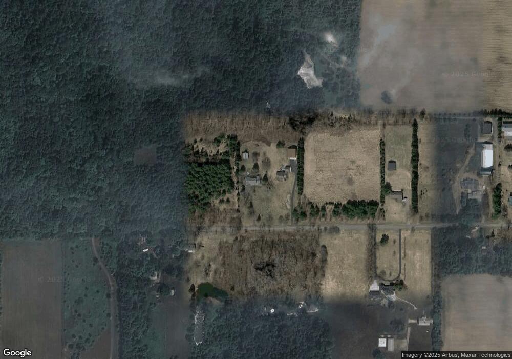
Map
Nearby Homes
- 5525 Curtice Rd
- 943 S Michigan Rd
- 2092 Arch Rd
- 11484 Columbia Hwy
- 11249 Columbia Hwy
- Parcel H Dawn Marie Ln
- Parcel B Dawn Marie Ln
- Vl Gale Rd
- 4939 W Columbia Rd
- 9604 Island Hwy
- 0 Barnes Rd Unit 294503
- 0 Barnes Rd Unit 294514
- 0 Barnes Rd Unit 294507
- 610 Grovenburg Rd
- 11237 W Wilbur Hwy
- 900 S Aurelius Rd
- 1140 N Smith Rd
- 0 S Aurelius Rd Unit 292647
- #3 Barnes Rd
- 414 Raymerville Ct
Your Personal Tour Guide
Ask me questions while you tour the home.