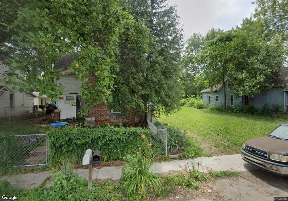
619 W 9th St Muncie, IN 47302
Thomas Park-Avondale NeighborhoodEstimated Value: $67,937
2
Beds
1
Bath
1,180
Sq Ft
$58/Sq Ft
Est. Value
About This Home
This home is located at 619 W 9th St, Muncie, IN 47302 and is currently priced at $67,937, approximately $57 per square foot. 619 W 9th St is a home located in Delaware County with nearby schools including South View Elementary School, Muncie Central High School, and Southside Middle School.
Ownership History
Date
Name
Owned For
Owner Type
Purchase Details
Closed on
Apr 11, 2024
Sold by
Penny Cliff
Bought by
Penny Cliff and Penny Joseph J
Current Estimated Value
Purchase Details
Closed on
Mar 26, 2024
Sold by
Muncie Land Bank Inc
Bought by
Penny Cliff
Purchase Details
Closed on
Dec 16, 2021
Sold by
City Of Muncie Redevelopment Commission
Bought by
Muncie Land Bank Inc
Purchase Details
Closed on
Jul 28, 2020
Sold by
Delaware County Commissioner
Bought by
Muncie Redevelopment Commission
Purchase Details
Closed on
Jul 27, 2020
Sold by
Delaware County Auditor
Bought by
Acres Investments Llc
Create a Home Valuation Report for This Property
The Home Valuation Report is an in-depth analysis detailing your home's value as well as a comparison with similar homes in the area
Home Values in the Area
Average Home Value in this Area
Purchase History
| Date | Buyer | Sale Price | Title Company |
|---|---|---|---|
| Penny Cliff | -- | None Listed On Document | |
| Penny Cliff | -- | None Listed On Document | |
| Muncie Land Bank Inc | -- | None Available | |
| Muncie Redevelopment Commission | -- | None Available | |
| Acres Investments Llc | $16,034 | None Available |
Source: Public Records
Tax History Compared to Growth
Tax History
| Year | Tax Paid | Tax Assessment Tax Assessment Total Assessment is a certain percentage of the fair market value that is determined by local assessors to be the total taxable value of land and additions on the property. | Land | Improvement |
|---|---|---|---|---|
| 2024 | $150 | $1,900 | $1,900 | $0 |
| 2023 | $150 | $5,000 | $2,900 | $2,100 |
| 2022 | $208 | $5,000 | $2,900 | $2,100 |
| 2021 | $108 | $0 | $0 | $0 |
| 2020 | $1,156 | $3,900 | $2,700 | $1,200 |
| 2019 | $5,641 | $7,900 | $3,600 | $4,300 |
| 2018 | $6,320 | $7,900 | $3,600 | $4,300 |
| 2017 | $1,573 | $7,500 | $3,600 | $3,900 |
| 2016 | $3,121 | $8,100 | $4,000 | $4,100 |
| 2014 | $241 | $9,900 | $4,000 | $5,900 |
| 2013 | -- | $9,600 | $4,000 | $5,600 |
Source: Public Records
Map
Nearby Homes
- 605 W 10th St
- 413 W 8th St
- 1325 S Hoyt Ave
- 514 W Memorial Dr
- 1014 W 10th St
- 802 W 13th St
- 1710 S Birch St
- 1303 S Liberty St
- 1702 S High St
- 810 W 16th St
- 124 E 8th St
- 208 E 8th St
- 2004 S Walnut St
- 808 810 W 1st St
- 202 E 13th St
- 221 E 6th St
- 1437 W 10th St
- 1008 W 1st St
- 2001 S Jefferson St
- 2111 S Mulberry St