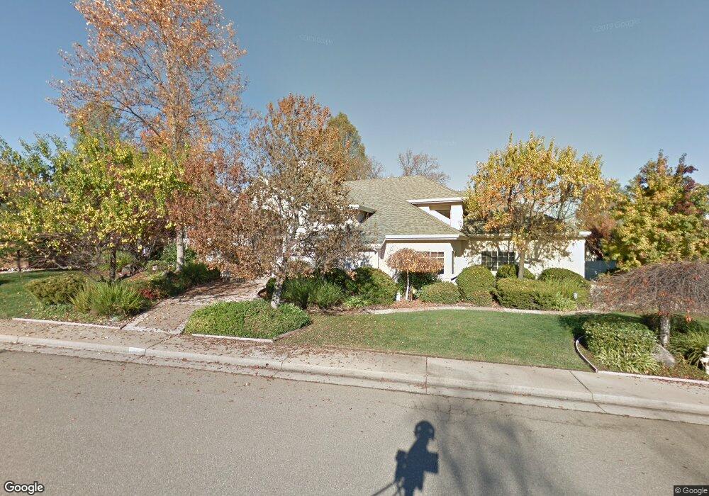
6198 Brassie Way Redding, CA 96003
Gold Hills NeighborhoodEstimated Value: $533,794 - $564,000
3
Beds
2
Baths
2,532
Sq Ft
$214/Sq Ft
Est. Value
About This Home
This home is located at 6198 Brassie Way, Redding, CA 96003 and is currently estimated at $542,699, approximately $214 per square foot. 6198 Brassie Way is a home located in Shasta County with nearby schools including Columbia Elementary School, Mountain View Middle School, and Foothill High School.
Ownership History
Date
Name
Owned For
Owner Type
Purchase Details
Closed on
Dec 16, 2025
Sold by
Ayres Robert A and Ayres Yvonne P
Bought by
2025 Ayres Family Trust and Ayres
Current Estimated Value
Purchase Details
Closed on
Jul 23, 1998
Sold by
Associates Relocation Management Co Inc
Bought by
Ayres Robert A and Ayres Yvonne P
Home Financials for this Owner
Home Financials are based on the most recent Mortgage that was taken out on this home.
Original Mortgage
$185,000
Interest Rate
6.78%
Purchase Details
Closed on
Jul 16, 1998
Sold by
Parks Randy J and Parks Kimberly J
Bought by
Associates Relocation Management Co Inc
Home Financials for this Owner
Home Financials are based on the most recent Mortgage that was taken out on this home.
Original Mortgage
$185,000
Interest Rate
6.78%
Create a Home Valuation Report for This Property
The Home Valuation Report is an in-depth analysis detailing your home's value as well as a comparison with similar homes in the area
Home Values in the Area
Average Home Value in this Area
Purchase History
| Date | Buyer | Sale Price | Title Company |
|---|---|---|---|
| 2025 Ayres Family Trust | -- | None Listed On Document | |
| Ayres Robert A | $240,000 | Chicago Title Co | |
| Associates Relocation Management Co Inc | $240,000 | Chicago Title Co |
Source: Public Records
Mortgage History
| Date | Status | Borrower | Loan Amount |
|---|---|---|---|
| Previous Owner | Ayres Robert A | $185,000 |
Source: Public Records
Tax History
| Year | Tax Paid | Tax Assessment Tax Assessment Total Assessment is a certain percentage of the fair market value that is determined by local assessors to be the total taxable value of land and additions on the property. | Land | Improvement |
|---|---|---|---|---|
| 2025 | $4,016 | $376,229 | $62,695 | $313,534 |
| 2024 | $4,030 | $368,853 | $61,466 | $307,387 |
| 2023 | $4,030 | $361,621 | $60,261 | $301,360 |
| 2022 | $3,886 | $354,531 | $59,080 | $295,451 |
| 2021 | $3,885 | $347,580 | $57,922 | $289,658 |
| 2020 | $3,835 | $344,017 | $57,329 | $286,688 |
| 2019 | $3,745 | $337,272 | $56,205 | $281,067 |
| 2018 | $3,792 | $330,659 | $55,103 | $275,556 |
| 2017 | $3,835 | $324,176 | $54,023 | $270,153 |
| 2016 | $3,592 | $317,820 | $52,964 | $264,856 |
| 2015 | $3,535 | $313,047 | $52,169 | $260,878 |
| 2014 | $3,440 | $306,916 | $51,148 | $255,768 |
Source: Public Records
Map
Nearby Homes
- 6260 Carmel Dr
- 1672 Saint Andrews Dr
- 1779 Player Ct
- 6050 Gleneagles Ct
- 1546 Gold Hills Dr
- 6040 Constitution Way
- 2132 Hope Ln
- 11632 Ridgewood Rd
- 5890 Shadow Glen Dr
- 5808 Constitution Way
- 6014 Mid Drive Trail
- 5513 Diamond Ridge Dr
- 1102 Hope Ln
- 948 & 950 Hawley
- 000 Wintu Way
- 5976 Sierra Dr
- 1050 Hillsdale Ct
- 5961 Sierra Dr
- 12009 Theresa Ln
- 6298 Oasis Rd
- 6198 Brassie Way Unit 1
- 1708 Gold Hills Dr
- 6176 Brassie Way
- 1722 Gold Hills Dr
- 1659 Wee Burn Ct
- 1638 Wee Burn Ct
- 1690 Gold Hills Dr
- 1645 Wee Burn Ct
- 6164 Brassie Way
- 6181 Brassie Way
- 1705 Gold Hills Dr
- 6179 Brassie Way
- 1717 Gold Hills Dr
- 1683 St Andrews
- 1683 Saint Andrews Dr
- 1729 Gold Hills Dr
- 6152 Brassie Way
- 0 Brassie Way
- 1688 Braeburn Ct
- 1685 Saint Andrews Dr
Your Personal Tour Guide
Ask me questions while you tour the home.