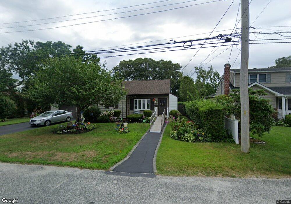
62 Sharp St Patchogue, NY 11772
Estimated Value: $386,000 - $467,304
2
Beds
1
Bath
640
Sq Ft
$692/Sq Ft
Est. Value
About This Home
This home is located at 62 Sharp St, Patchogue, NY 11772 and is currently estimated at $442,826, approximately $691 per square foot. 62 Sharp St is a home located in Suffolk County with nearby schools including Patchogue-Medford High School and Holy Angels Regional School.
Ownership History
Date
Name
Owned For
Owner Type
Purchase Details
Closed on
Aug 21, 2003
Sold by
Perry Ronald I and Perry Gayle
Bought by
Perry Donna L
Current Estimated Value
Purchase Details
Closed on
May 20, 2003
Sold by
Perry Donna L
Bought by
Perry Ronald I and Perry Gayle
Home Financials for this Owner
Home Financials are based on the most recent Mortgage that was taken out on this home.
Original Mortgage
$70,000
Interest Rate
5.28%
Mortgage Type
Purchase Money Mortgage
Purchase Details
Closed on
Jun 12, 2001
Sold by
Perry Ronald I and Perry Gayle
Bought by
Perry Donna L
Create a Home Valuation Report for This Property
The Home Valuation Report is an in-depth analysis detailing your home's value as well as a comparison with similar homes in the area
Home Values in the Area
Average Home Value in this Area
Purchase History
| Date | Buyer | Sale Price | Title Company |
|---|---|---|---|
| Perry Donna L | -- | Commonwealth Land Title Ins | |
| Perry Ronald I | -- | Commonwealth Land Title Ins | |
| Perry Donna L | -- | Commonwealth Land Title Ins |
Source: Public Records
Mortgage History
| Date | Status | Borrower | Loan Amount |
|---|---|---|---|
| Closed | Perry Ronald I | $70,000 |
Source: Public Records
Tax History
| Year | Tax Paid | Tax Assessment Tax Assessment Total Assessment is a certain percentage of the fair market value that is determined by local assessors to be the total taxable value of land and additions on the property. | Land | Improvement |
|---|---|---|---|---|
| 2024 | $4,223 | $1,600 | $300 | $1,300 |
| 2023 | $4,223 | $1,600 | $300 | $1,300 |
| 2022 | $4,189 | $1,600 | $300 | $1,300 |
| 2021 | $4,189 | $1,600 | $300 | $1,300 |
| 2020 | $4,421 | $1,600 | $300 | $1,300 |
| 2019 | $4,421 | $0 | $0 | $0 |
| 2018 | $4,022 | $1,600 | $300 | $1,300 |
| 2017 | $4,022 | $1,600 | $300 | $1,300 |
| 2016 | $3,928 | $1,600 | $300 | $1,300 |
| 2015 | -- | $1,600 | $300 | $1,300 |
| 2014 | -- | $1,600 | $300 | $1,300 |
Source: Public Records
Map
Nearby Homes
- 72 Harris St
- 115 N Clinton Ave
- 61 Herbert Cir
- 93 Winges Ave
- 511 Old North Ocean Ave
- 973 N Ocean Ave
- 52 W Woodside Ave
- 27 Denton St
- 136 Patchogue Ave
- 0 Mount Vernon Ave
- 15 E Woodside Ave
- 31 Walnut Ave
- 6 Landings Ln
- 44 Prince St
- 114 Monroe Ave
- 205 Jayne Ave
- 110 Monroe Ave
- 62 Howard St
- 60 Webb Ave
- 60 Green Ave
Your Personal Tour Guide
Ask me questions while you tour the home.