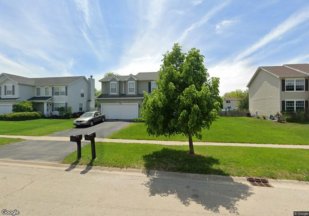
620 Maplewood Dr Minooka, IL 60447
Estimated Value: $376,634 - $405,000
Studio
--
Bath
2,160
Sq Ft
$179/Sq Ft
Est. Value
About This Home
This home is located at 620 Maplewood Dr, Minooka, IL 60447 and is currently estimated at $387,659, approximately $179 per square foot. 620 Maplewood Dr is a home with nearby schools including Minooka Primary Center, Aux Sable Elementary School, and Minooka Junior High School.
Ownership History
Date
Name
Owned For
Owner Type
Purchase Details
Closed on
Dec 27, 2012
Sold by
First Midwest Bank Trust #8074
Bought by
Bates James A
Current Estimated Value
Home Financials for this Owner
Home Financials are based on the most recent Mortgage that was taken out on this home.
Original Mortgage
$213,650
Outstanding Balance
$148,343
Interest Rate
3.34%
Estimated Equity
$239,316
Purchase Details
Closed on
Dec 11, 2012
Sold by
First Midwest Bank Trust #8074
Bought by
Bates James A
Home Financials for this Owner
Home Financials are based on the most recent Mortgage that was taken out on this home.
Original Mortgage
$213,650
Outstanding Balance
$148,343
Interest Rate
3.34%
Estimated Equity
$239,316
Create a Home Valuation Report for This Property
The Home Valuation Report is an in-depth analysis detailing your home's value as well as a comparison with similar homes in the area
Purchase History
| Date | Buyer | Sale Price | Title Company |
|---|---|---|---|
| Bates James A | $209,175 | First American Title | |
| Bates James A | $209,175 | First American Title |
Source: Public Records
Mortgage History
| Date | Status | Borrower | Loan Amount |
|---|---|---|---|
| Open | Bates James A | $213,650 | |
| Closed | Bates James A | $213,650 |
Source: Public Records
Tax History
| Year | Tax Paid | Tax Assessment Tax Assessment Total Assessment is a certain percentage of the fair market value that is determined by local assessors to be the total taxable value of land and additions on the property. | Land | Improvement |
|---|---|---|---|---|
| 2024 | $9,283 | $115,731 | $13,013 | $102,718 |
| 2023 | $8,461 | $105,488 | $11,861 | $93,627 |
| 2022 | $7,386 | $98,082 | $11,028 | $87,054 |
| 2021 | $7,074 | $92,845 | $10,439 | $82,406 |
| 2020 | $6,902 | $88,815 | $9,986 | $78,829 |
| 2019 | $6,520 | $82,236 | $9,246 | $72,990 |
| 2018 | $6,601 | $81,316 | $9,143 | $72,173 |
| 2017 | $6,411 | $77,651 | $8,731 | $68,920 |
| 2016 | $5,990 | $72,891 | $8,196 | $64,695 |
| 2015 | $5,219 | $66,258 | $7,450 | $58,808 |
| 2014 | $4,815 | $64,234 | $11,150 | $53,084 |
| 2013 | $2,474 | $65,100 | $11,300 | $53,800 |
Source: Public Records
Map
Nearby Homes
- 800 Maplewood Dr
- 526 Lily Ct
- 1509 Donegal Dr
- 1138 Coneflower Ct
- 1606 Donegal Dr
- 655 Chestnut Ridge
- 1429 Levato Ln
- 1137 S Wabena Ave
- 1105 Clover Dr
- 520 High Grove Dr
- 1380 Dahlgren Ln
- 1502 Red Top Ln
- 807 Back Bay Ct
- 1101 Burns Ln
- 336 Clover Cir
- 334 Clover Cir
- 332 Clover Cir
- 330 Clover Cir
- 1552 Bluestem Ln
- 1403 Fabiola Ct S
- 624 Maplewood Dr
- 616 Maplewood Dr
- 605 Creekside Cir
- 628 Maplewood Dr
- 612 Maplewood Dr
- 603 Creekside Cir
- 601 Creekside Cir
- 621 Maplewood Dr
- 607 Creekside Cir
- 613 Maplewood Dr
- 625 Maplewood Dr
- 609 Creekside Cir
- 632 Maplewood Dr
- 608 Maplewood Dr
- 609 Maplewood Dr
- 513 Creekside Cir
- 629 Maplewood Dr
- 611 Creekside Cir
- 636 Maplewood Dr
- 511 Creekside Cir
Your Personal Tour Guide
Ask me questions while you tour the home.