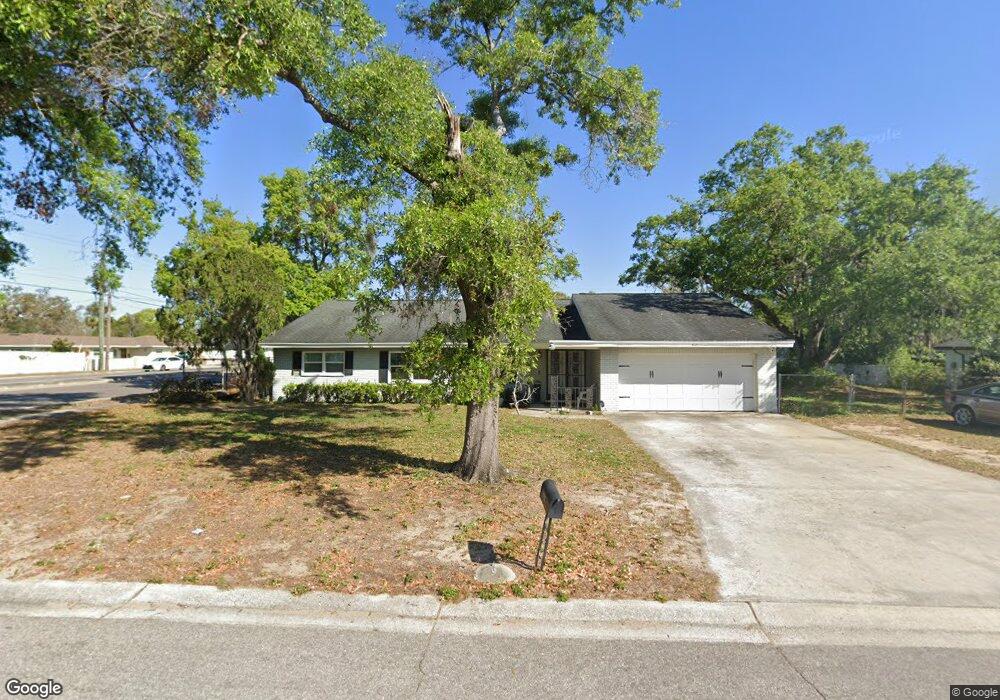
620 Royal Crest Way Brandon, FL 33511
Estimated Value: $332,000 - $444,000
3
Beds
2
Baths
2,242
Sq Ft
$178/Sq Ft
Est. Value
About This Home
This home is located at 620 Royal Crest Way, Brandon, FL 33511 and is currently estimated at $398,888, approximately $177 per square foot. 620 Royal Crest Way is a home located in Hillsborough County with nearby schools including Kingswood Elementary School, Rodgers Middle School, and Brandon High School.
Ownership History
Date
Name
Owned For
Owner Type
Purchase Details
Closed on
May 19, 2006
Sold by
Burdett Theresa I and Burdett Floyd M
Bought by
Pittman Ronald and Starling Pittman Princess
Current Estimated Value
Home Financials for this Owner
Home Financials are based on the most recent Mortgage that was taken out on this home.
Original Mortgage
$188,000
Outstanding Balance
$108,944
Interest Rate
6.41%
Mortgage Type
Fannie Mae Freddie Mac
Estimated Equity
$289,944
Create a Home Valuation Report for This Property
The Home Valuation Report is an in-depth analysis detailing your home's value as well as a comparison with similar homes in the area
Home Values in the Area
Average Home Value in this Area
Purchase History
| Date | Buyer | Sale Price | Title Company |
|---|---|---|---|
| Pittman Ronald | $235,000 | Acr Title Group Lllp |
Source: Public Records
Mortgage History
| Date | Status | Borrower | Loan Amount |
|---|---|---|---|
| Open | Pittman Ronald | $188,000 |
Source: Public Records
Tax History Compared to Growth
Tax History
| Year | Tax Paid | Tax Assessment Tax Assessment Total Assessment is a certain percentage of the fair market value that is determined by local assessors to be the total taxable value of land and additions on the property. | Land | Improvement |
|---|---|---|---|---|
| 2024 | $2,043 | $127,522 | -- | -- |
| 2023 | $1,943 | $123,808 | $0 | $0 |
| 2022 | $1,800 | $120,202 | $0 | $0 |
| 2021 | $1,770 | $116,701 | $0 | $0 |
| 2020 | $1,689 | $115,090 | $0 | $0 |
| 2019 | $1,603 | $112,502 | $0 | $0 |
| 2018 | $1,551 | $110,404 | $0 | $0 |
| 2017 | $1,520 | $156,409 | $0 | $0 |
| 2016 | $1,493 | $105,909 | $0 | $0 |
| 2015 | $1,508 | $105,173 | $0 | $0 |
| 2014 | $1,483 | $104,338 | $0 | $0 |
| 2013 | -- | $102,796 | $0 | $0 |
Source: Public Records
Map
Nearby Homes
- 2209 Boxwood Way
- 615 N Echo Dr
- 2207 Princess Way
- 626 Marphil Loop
- 1001 English Bluffs Ct
- 2617 Pegasus Ct
- 724 Tradewinds Dr
- 1641 Ledgestone Dr
- 732 Tradewinds Dr
- 1726 Loriana St
- 1009 Summer Breeze Dr
- 703 Sailfish Dr
- 2204 Krista Ln
- 2829 Bellwood Dr
- 2518 Knight Island Dr
- 2604 Knight Island Dr
- 1408 New Britain Dr
- 611 Princeton St
- 1006 Vista Cay Ct
- 123 Jeffrey Dr
- 618 Royal Crest Way
- 617 Royal Crest Dr
- 619 Royal Crest Way
- 702 Kingswood Place
- 615 Royal Crest Dr
- 2210 S Kings Ave
- 617 Royal Crest Way
- 616 Royal Crest Way
- 701 Kingswood Place
- 701 Kingswood Loop
- 704 Kingswood Place
- 2217 S Kings Ave
- 703 Kingswood Place
- 615 Royal Crest Way
- 618 Royal Crest Dr
- 2202 Tanglewood Way
- 705 Kingswood Loop
- 614 Royal Crest Way
- 616 Royal Crest Dr