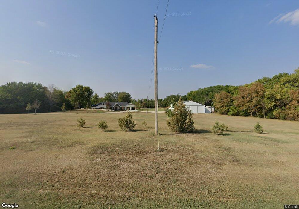
621 2600 Ave Abilene, KS 67410
Estimated Value: $654,830
3
Beds
2
Baths
1,192
Sq Ft
$549/Sq Ft
Est. Value
About This Home
This home is located at 621 2600 Ave, Abilene, KS 67410 and is currently estimated at $654,830, approximately $549 per square foot. 621 2600 Ave is a home located in Dickinson County with nearby schools including Kennedy Elementary School, McKinley Elementary School, and Dwight D. Eisenhower Elementary School.
Ownership History
Date
Name
Owned For
Owner Type
Purchase Details
Closed on
Aug 9, 2010
Sold by
Rock Roland V and Rock Kelly A
Bought by
Guy John T and Guy Denise M
Current Estimated Value
Home Financials for this Owner
Home Financials are based on the most recent Mortgage that was taken out on this home.
Original Mortgage
$139,200
Outstanding Balance
$92,720
Interest Rate
4.69%
Mortgage Type
Purchase Money Mortgage
Estimated Equity
$562,110
Create a Home Valuation Report for This Property
The Home Valuation Report is an in-depth analysis detailing your home's value as well as a comparison with similar homes in the area
Home Values in the Area
Average Home Value in this Area
Purchase History
| Date | Buyer | Sale Price | Title Company |
|---|---|---|---|
| Guy John T | -- | -- |
Source: Public Records
Mortgage History
| Date | Status | Borrower | Loan Amount |
|---|---|---|---|
| Open | Guy John T | $139,200 |
Source: Public Records
Tax History Compared to Growth
Tax History
| Year | Tax Paid | Tax Assessment Tax Assessment Total Assessment is a certain percentage of the fair market value that is determined by local assessors to be the total taxable value of land and additions on the property. | Land | Improvement |
|---|---|---|---|---|
| 2025 | $7,053 | $54,803 | $1,989 | $52,814 |
| 2024 | $7,053 | $52,365 | $2,010 | $50,355 |
| 2023 | $6,857 | $50,386 | $1,817 | $48,569 |
| 2022 | $6,236 | $45,471 | $2,017 | $43,454 |
| 2021 | $4,543 | $32,513 | $2,776 | $29,737 |
| 2020 | $521 | $3,794 | $2,066 | $1,728 |
| 2019 | $2,064 | $15,126 | $2,427 | $12,699 |
| 2018 | $1,974 | $14,866 | $1,876 | $12,990 |
| 2017 | $2,140 | $15,753 | $1,469 | $14,284 |
| 2016 | $2,127 | $15,744 | $1,362 | $14,382 |
| 2015 | -- | $16,419 | $1,308 | $15,111 |
| 2014 | -- | $17,720 | $1,278 | $16,442 |
Source: Public Records
Map
Nearby Homes
- 2459 Gulf Rd
- 1801 NW 17th St
- 1803 NW 17th St
- 1800 Broadfoot Dr
- 2700 & Deer Rd
- 2457 Haven Dr
- Lot 4 2435
- 0 Hawk Rd
- Lot 5 2435
- 2252 Deer Rd
- 2988 Walnut St
- 900 2400 Ave
- 1713 NW 9th St
- 2191 Eden Rd Unit 21
- 2191 Eden Rd Unit 25
- 2191 Eden Rd Unit 5
- TBD 2435 Ave
- 1604 Glen Eagles Dr
- 1605 Parkplace Ct
- 516 2225 Ln Unit 516 2225 Lane