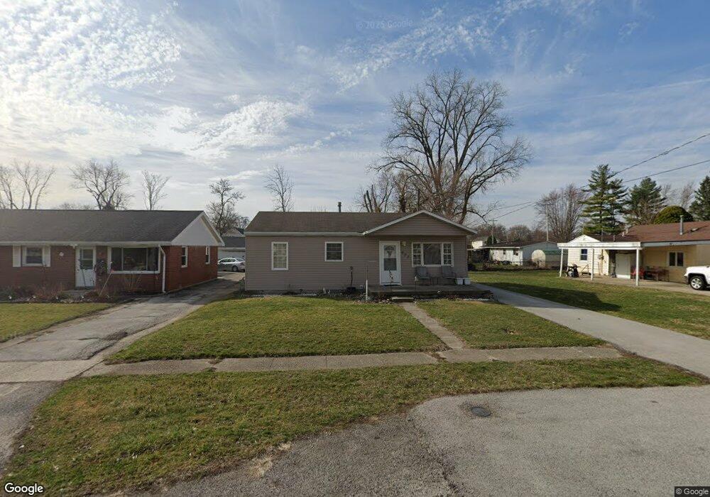
633 Swing Ave Findlay, OH 45840
Estimated Value: $146,000 - $170,000
3
Beds
1
Bath
999
Sq Ft
$153/Sq Ft
Est. Value
About This Home
This home is located at 633 Swing Ave, Findlay, OH 45840 and is currently estimated at $152,663, approximately $152 per square foot. 633 Swing Ave is a home located in Hancock County with nearby schools including Northview Elementary School, Bigelow Hill Elementary School, and Glenwood Middle School.
Ownership History
Date
Name
Owned For
Owner Type
Purchase Details
Closed on
Jul 24, 2009
Sold by
Christman Mark E
Bought by
Mec Rentals Llc
Current Estimated Value
Purchase Details
Closed on
Aug 27, 1996
Sold by
Scott Michael
Bought by
University Of Findlay
Purchase Details
Closed on
Jul 18, 1988
Bought by
Vanhorn John
Purchase Details
Closed on
Feb 28, 1986
Bought by
Moffitt Betty J
Create a Home Valuation Report for This Property
The Home Valuation Report is an in-depth analysis detailing your home's value as well as a comparison with similar homes in the area
Home Values in the Area
Average Home Value in this Area
Purchase History
| Date | Buyer | Sale Price | Title Company |
|---|---|---|---|
| Mec Rentals Llc | -- | None Available | |
| University Of Findlay | $75,000 | -- | |
| Vanhorn John | $36,500 | -- | |
| Moffitt Betty J | -- | -- |
Source: Public Records
Tax History Compared to Growth
Tax History
| Year | Tax Paid | Tax Assessment Tax Assessment Total Assessment is a certain percentage of the fair market value that is determined by local assessors to be the total taxable value of land and additions on the property. | Land | Improvement |
|---|---|---|---|---|
| 2024 | $1,372 | $37,640 | $5,600 | $32,040 |
| 2023 | $1,374 | $37,640 | $5,600 | $32,040 |
| 2022 | $1,370 | $37,640 | $5,600 | $32,040 |
| 2021 | $1,407 | $33,680 | $5,600 | $28,080 |
| 2020 | $1,407 | $33,680 | $5,600 | $28,080 |
| 2019 | $1,379 | $33,680 | $5,600 | $28,080 |
| 2018 | $1,135 | $25,430 | $4,740 | $20,690 |
| 2017 | $568 | $25,430 | $4,740 | $20,690 |
| 2016 | $1,129 | $25,430 | $4,740 | $20,690 |
| 2015 | $1,075 | $23,900 | $4,740 | $19,160 |
| 2014 | $1,075 | $23,900 | $4,740 | $19,160 |
| 2012 | $1,083 | $23,900 | $4,740 | $19,160 |
Source: Public Records
Map
Nearby Homes
- 604 Davis St
- 533 Davis St
- 1005 Broad Ave
- 524 Defiance Ave
- 410 Monroe Ave
- 405 Clifton Ave
- 304 Rector Ave
- 706 N Cory St
- 115 George St
- 224 Defiance Ave
- 643 Edith Ave
- 304 Prentiss Ave
- 1820 N Main St
- 206 Midland Ave
- 1934 Geffs Ave
- 512 N Cory St
- 905 W Melrose Ave
- 925 W Melrose Ave
- 230 Midland Ave
- 207 Ash Ave