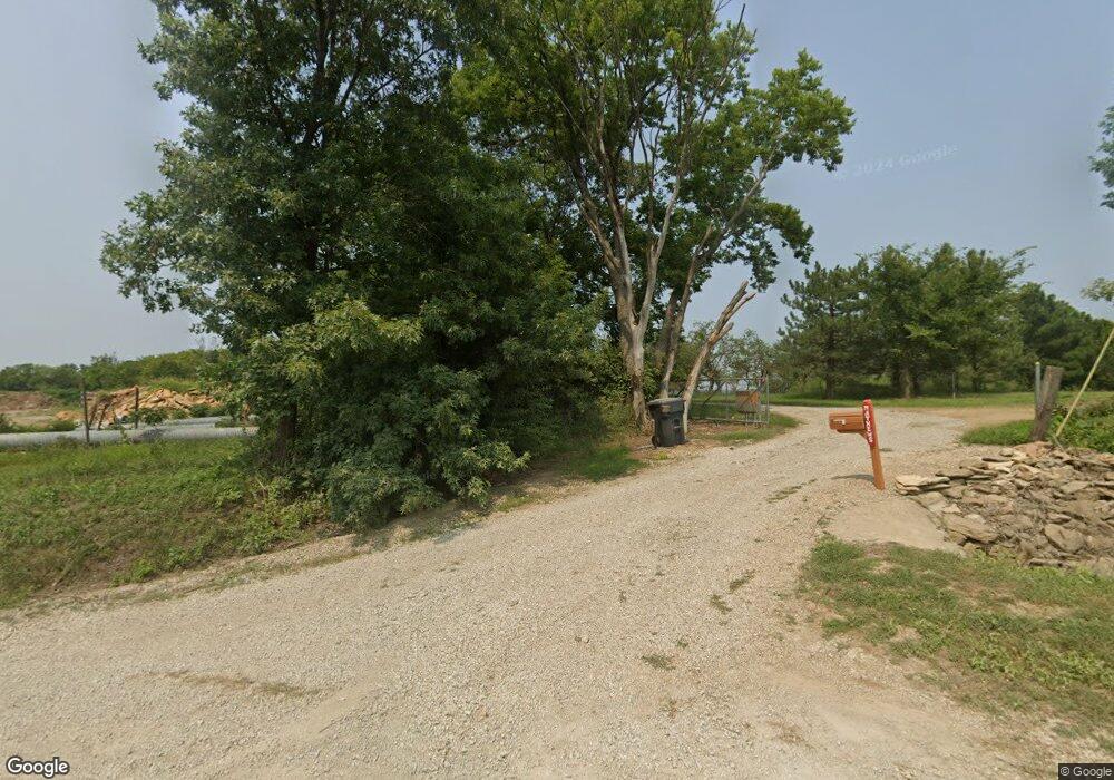
634 N 1851st Diag Rd Lecompton, KS 66050
Scenic Riverway NeighborhoodEstimated Value: $287,000 - $371,808
2
Beds
2
Baths
1,456
Sq Ft
$226/Sq Ft
Est. Value
About This Home
This home is located at 634 N 1851st Diag Rd, Lecompton, KS 66050 and is currently estimated at $329,404, approximately $226 per square foot. 634 N 1851st Diag Rd is a home located in Douglas County with nearby schools including Lecompton Elementary School, Perry-Lecompton Middle School, and Perry-Lecompton High School.
Ownership History
Date
Name
Owned For
Owner Type
Purchase Details
Closed on
Nov 20, 2002
Sold by
Mathews Russell Joseph and Mathews Patricia L
Bought by
Mathews Russell Joseph and Mathews Patricia L
Current Estimated Value
Home Financials for this Owner
Home Financials are based on the most recent Mortgage that was taken out on this home.
Original Mortgage
$135,900
Interest Rate
5.59%
Mortgage Type
Purchase Money Mortgage
Create a Home Valuation Report for This Property
The Home Valuation Report is an in-depth analysis detailing your home's value as well as a comparison with similar homes in the area
Home Values in the Area
Average Home Value in this Area
Purchase History
| Date | Buyer | Sale Price | Title Company |
|---|---|---|---|
| Mathews Russell Joseph | -- | Douglas County Title Co |
Source: Public Records
Mortgage History
| Date | Status | Borrower | Loan Amount |
|---|---|---|---|
| Closed | Mathews Russell Joseph | $135,900 |
Source: Public Records
Tax History Compared to Growth
Tax History
| Year | Tax Paid | Tax Assessment Tax Assessment Total Assessment is a certain percentage of the fair market value that is determined by local assessors to be the total taxable value of land and additions on the property. | Land | Improvement |
|---|---|---|---|---|
| 2025 | $3,962 | $34,888 | $3,242 | $31,646 |
| 2024 | $3,926 | $34,627 | $3,189 | $31,438 |
| 2023 | $4,000 | $33,853 | $3,142 | $30,711 |
| 2022 | $3,762 | $30,791 | $3,124 | $27,667 |
| 2021 | $3,282 | $25,665 | $2,888 | $22,777 |
| 2020 | $3,185 | $25,307 | $2,891 | $22,416 |
| 2019 | $3,029 | $24,110 | $3,076 | $21,034 |
| 2018 | $3,048 | $24,196 | $2,967 | $21,229 |
| 2017 | $3,019 | $23,837 | $2,964 | $20,873 |
| 2016 | $2,709 | $21,767 | $1,708 | $20,059 |
| 2015 | $2,724 | $22,273 | $1,699 | $20,574 |
| 2014 | $2,421 | $19,880 | $1,687 | $18,193 |
Source: Public Records
Map
Nearby Homes
- 649 N 2050th Rd
- 48.67 AC N 2050 Rd
- 656 N 2050th Rd
- 1310 E 7th St
- 1320 E 7th St
- 652 N 2050th Rd
- 687 N 2050th Rd
- 687 N 2050th Rd
- 638 Jones St
- 682 N 2050th Rd
- 1130 E 7th St
- 680 N 1851st Diag Rd
- 656 N 1851st Diag Rd
- 602 Jones St
- Land Jones St
- 611 Jones St
- 668 N 1851st Diag Rd
- 510 Jones St
- 691 N 2050th Rd
- 696 N 2050th Rd
