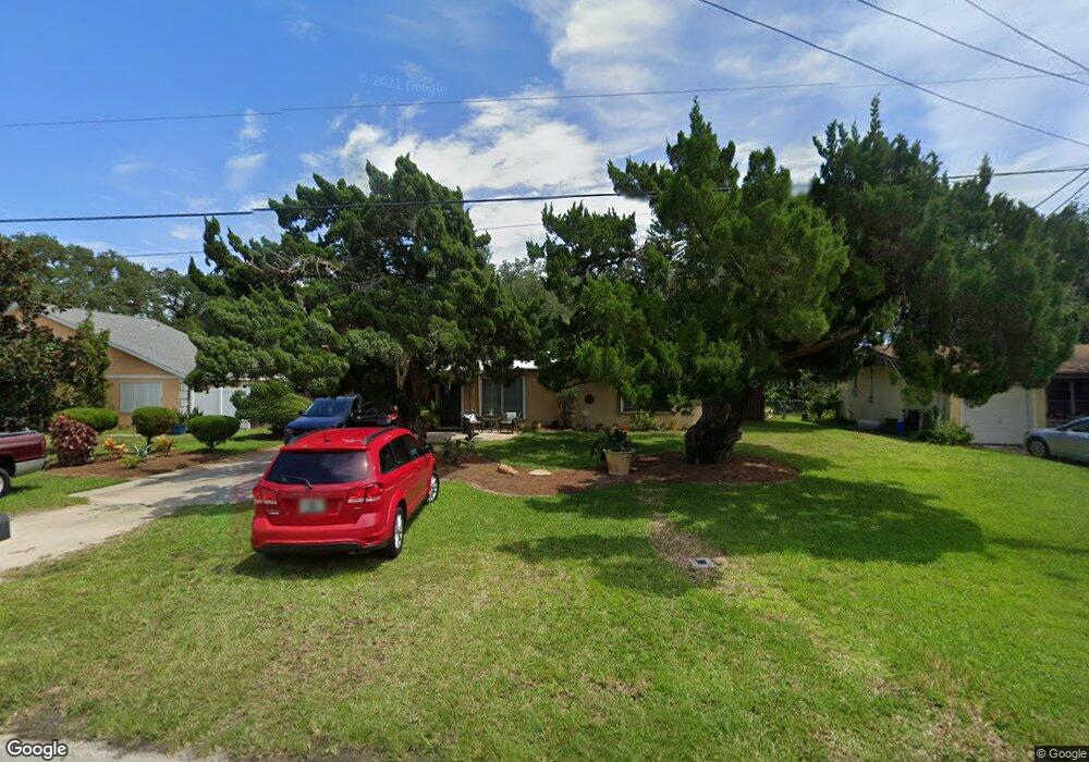
639 Yupon Ave New Smyrna Beach, FL 32169
Central Beach NeighborhoodEstimated Value: $521,622 - $626,000
2
Beds
2
Baths
1,121
Sq Ft
$501/Sq Ft
Est. Value
About This Home
This home is located at 639 Yupon Ave, New Smyrna Beach, FL 32169 and is currently estimated at $562,156, approximately $501 per square foot. 639 Yupon Ave is a home located in Volusia County with nearby schools including Coronado Beach Elementary School, New Smyrna Beach Middle School, and New Smyrna Beach High School.
Ownership History
Date
Name
Owned For
Owner Type
Purchase Details
Closed on
Aug 9, 2019
Sold by
Kyle Steve and Mccarthy Judy
Bought by
Nystrom Rhonda and Palmer Margie
Current Estimated Value
Home Financials for this Owner
Home Financials are based on the most recent Mortgage that was taken out on this home.
Original Mortgage
$120,000
Interest Rate
3.6%
Mortgage Type
New Conventional
Purchase Details
Closed on
Oct 19, 2000
Sold by
Kyle Geraldine R
Bought by
Kyle Geraldine R and Palmer Margie
Purchase Details
Closed on
May 15, 1979
Bought by
Kyle Geraldine R Life Estate
Create a Home Valuation Report for This Property
The Home Valuation Report is an in-depth analysis detailing your home's value as well as a comparison with similar homes in the area
Home Values in the Area
Average Home Value in this Area
Purchase History
| Date | Buyer | Sale Price | Title Company |
|---|---|---|---|
| Nystrom Rhonda | $120,000 | Attorney | |
| Kyle Geraldine R | -- | -- | |
| Kyle Geraldine R Life Estate | $26,000 | -- |
Source: Public Records
Mortgage History
| Date | Status | Borrower | Loan Amount |
|---|---|---|---|
| Previous Owner | Nystrom Rhonda | $120,000 |
Source: Public Records
Tax History Compared to Growth
Tax History
| Year | Tax Paid | Tax Assessment Tax Assessment Total Assessment is a certain percentage of the fair market value that is determined by local assessors to be the total taxable value of land and additions on the property. | Land | Improvement |
|---|---|---|---|---|
| 2025 | $7,283 | $562,370 | $459,205 | $103,165 |
| 2024 | $7,283 | $563,613 | $459,205 | $104,408 |
| 2023 | $7,283 | $488,654 | $388,619 | $100,035 |
| 2022 | $6,261 | $388,710 | $297,413 | $91,297 |
| 2021 | $5,811 | $322,091 | $241,499 | $80,592 |
| 2020 | $5,633 | $311,070 | $241,499 | $69,571 |
| 2019 | $5,474 | $290,984 | $235,947 | $55,037 |
| 2018 | $5,494 | $286,378 | $235,947 | $50,431 |
| 2017 | $652 | $99,934 | $0 | $0 |
| 2016 | $712 | $97,879 | $0 | $0 |
| 2015 | $741 | $97,199 | $0 | $0 |
| 2014 | $750 | $96,428 | $0 | $0 |
Source: Public Records
Map
Nearby Homes
- 724 S Cooper St
- 622 Yupon Ave
- 657 S Pine St
- 650 S Pine St
- 653 Goodwin Ave
- 350 E 2nd Ave
- 617 Goodwin Ave
- 806 E 2nd Ave
- 541 S Peninsula Ave Unit A18
- 535 S Peninsula Ave
- 704 Horton St
- 550 S Peninsula Ave
- 821 E 1st Ave
- 429 E 3rd Ave
- 910 Maple St Unit A & B
- 910 Locust St
- 821 Ocean Ave
- 830 Maralyn Ave
- 437 S Peninsula Ave
- 1304 Saxon Dr