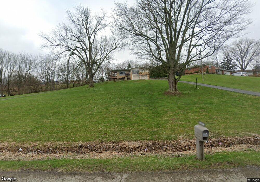
650 White Oak Dr Springfield, OH 45504
Cedar Hills/Broadview NeighborhoodEstimated Value: $217,000 - $316,000
3
Beds
3
Baths
1,955
Sq Ft
$146/Sq Ft
Est. Value
About This Home
This home is located at 650 White Oak Dr, Springfield, OH 45504 and is currently estimated at $284,536, approximately $145 per square foot. 650 White Oak Dr is a home located in Clark County with nearby schools including Possum Elementary School, Shawnee Middle School/High School, and Ridgewood School.
Ownership History
Date
Name
Owned For
Owner Type
Purchase Details
Closed on
Oct 1, 2012
Sold by
Holmes Kevin and Holmes Lisa
Bought by
Holmes Kevin and Holmes Lisa
Current Estimated Value
Purchase Details
Closed on
Sep 16, 2004
Sold by
Crane Daniel O
Bought by
Holmes Kevin
Home Financials for this Owner
Home Financials are based on the most recent Mortgage that was taken out on this home.
Original Mortgage
$90,000
Interest Rate
5.95%
Mortgage Type
Purchase Money Mortgage
Purchase Details
Closed on
Oct 2, 1997
Sold by
Henry Michael E
Bought by
Crane Daniel O
Home Financials for this Owner
Home Financials are based on the most recent Mortgage that was taken out on this home.
Original Mortgage
$132,498
Interest Rate
7.54%
Mortgage Type
VA
Create a Home Valuation Report for This Property
The Home Valuation Report is an in-depth analysis detailing your home's value as well as a comparison with similar homes in the area
Home Values in the Area
Average Home Value in this Area
Purchase History
| Date | Buyer | Sale Price | Title Company |
|---|---|---|---|
| Holmes Kevin | -- | None Available | |
| Holmes Kevin | $130,000 | -- | |
| Crane Daniel O | $129,900 | -- |
Source: Public Records
Mortgage History
| Date | Status | Borrower | Loan Amount |
|---|---|---|---|
| Previous Owner | Holmes Kevin | $90,000 | |
| Previous Owner | Crane Daniel O | $132,498 |
Source: Public Records
Tax History
| Year | Tax Paid | Tax Assessment Tax Assessment Total Assessment is a certain percentage of the fair market value that is determined by local assessors to be the total taxable value of land and additions on the property. | Land | Improvement |
|---|---|---|---|---|
| 2025 | $3,489 | $83,850 | $21,870 | $61,980 |
| 2024 | $3,398 | $69,380 | $15,370 | $54,010 |
| 2023 | $3,398 | $69,380 | $15,370 | $54,010 |
| 2022 | $3,370 | $69,380 | $15,370 | $54,010 |
| 2021 | $2,622 | $48,440 | $12,500 | $35,940 |
| 2020 | $2,643 | $48,440 | $12,500 | $35,940 |
| 2019 | $2,685 | $48,440 | $12,500 | $35,940 |
| 2018 | $2,693 | $47,930 | $13,000 | $34,930 |
| 2017 | $2,760 | $51,951 | $12,999 | $38,952 |
| 2016 | $2,490 | $51,951 | $12,999 | $38,952 |
| 2015 | $2,595 | $51,451 | $12,499 | $38,952 |
| 2014 | $2,602 | $51,451 | $12,499 | $38,952 |
| 2013 | $2,261 | $51,451 | $12,499 | $38,952 |
Source: Public Records
Map
Nearby Homes
- 2805 Cottonwood Dr
- 2743 Ironwood Dr
- 917 White Oak Dr
- 925 Upper Valley Pike
- 624 Aberfelda Dr
- 2705 Ash Dr
- 190 Oakridge Dr
- 0 Upper Valley Pike
- 780 W Eva Cir
- 2162 Broadway St
- 124 Old Mill Rd
- 3819 New Carlisle Pike
- 1866 Maiden Ln
- 80 Carlisle Ave
- 106 Walter St
- 1715 W North St
- 1915 W Washington St
- 1828 W Washington St
- 3267 Lower Valley Pike Unit Tract 2
- 1524 W North St Unit 1526
- 640 White Oak Dr
- 2848 Cottonwood Dr
- 2836 Cottonwood Dr
- 670 White Oak Dr
- 608 Basswood Dr
- 628 Basswood Dr
- 2824 Cottonwood Dr
- 651 White Oak Dr
- 657 White Oak Dr
- 643 White Oak Dr
- 647 White Oak Dr
- 2812 Cottonwood Dr
- 675 White Oak Dr
- 712 Basswood Dr
- 678 White Oak Dr
- 2800 Cottonwood Dr
- 2835 Ironwood Dr
- 2847 Cottonwood Dr
- 607 Basswood Dr
- 728 Basswood Dr
Your Personal Tour Guide
Ask me questions while you tour the home.