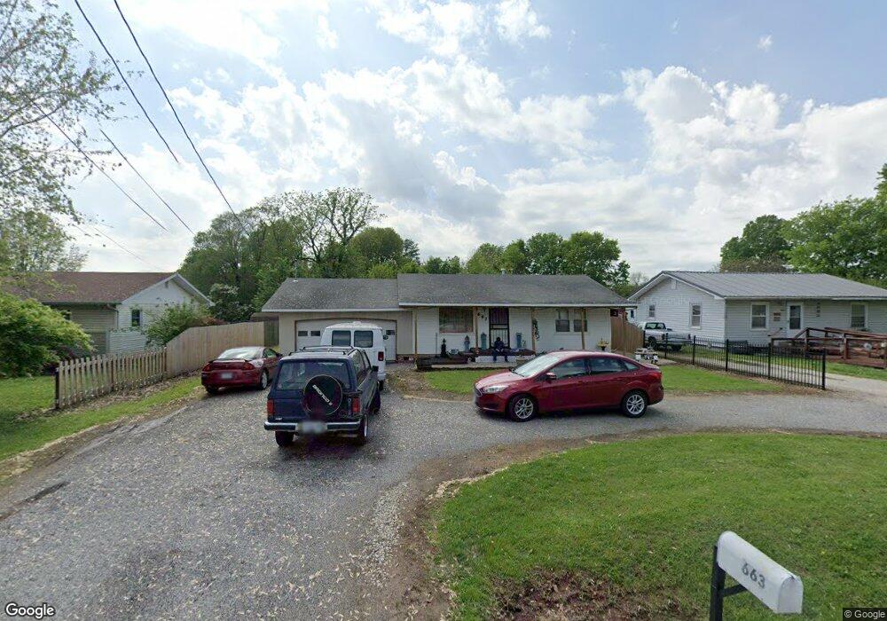
663 N Meteor Ave Springfield, MO 65802
Estimated Value: $96,000 - $161,000
2
Beds
1
Bath
1,112
Sq Ft
$116/Sq Ft
Est. Value
About This Home
This home is located at 663 N Meteor Ave, Springfield, MO 65802 and is currently estimated at $129,461, approximately $116 per square foot. 663 N Meteor Ave is a home located in Greene County with nearby schools including Willard Intermediate-South.
Ownership History
Date
Name
Owned For
Owner Type
Purchase Details
Closed on
Dec 30, 2005
Sold by
Rabe Roger A and Rabe Linda
Bought by
Coble James and Coble Darla
Current Estimated Value
Home Financials for this Owner
Home Financials are based on the most recent Mortgage that was taken out on this home.
Original Mortgage
$41,500
Outstanding Balance
$23,229
Interest Rate
6.2%
Mortgage Type
New Conventional
Estimated Equity
$106,232
Purchase Details
Closed on
Aug 5, 2005
Sold by
Rabe Roger A and Rabe Linda Kay
Bought by
Coble James and Coble Darla
Create a Home Valuation Report for This Property
The Home Valuation Report is an in-depth analysis detailing your home's value as well as a comparison with similar homes in the area
Purchase History
| Date | Buyer | Sale Price | Title Company |
|---|---|---|---|
| Coble James | -- | None Available | |
| Coble James | $41,000 | Lincoln Evens Land Title Co |
Source: Public Records
Mortgage History
| Date | Status | Borrower | Loan Amount |
|---|---|---|---|
| Open | Coble James | $41,500 |
Source: Public Records
Tax History
| Year | Tax Paid | Tax Assessment Tax Assessment Total Assessment is a certain percentage of the fair market value that is determined by local assessors to be the total taxable value of land and additions on the property. | Land | Improvement |
|---|---|---|---|---|
| 2025 | $663 | $12,270 | $2,850 | $9,420 |
| 2024 | $644 | $11,690 | $1,900 | $9,790 |
| 2023 | $641 | $11,690 | $1,900 | $9,790 |
| 2022 | $589 | $10,680 | $1,900 | $8,780 |
| 2021 | $589 | $10,680 | $1,900 | $8,780 |
| 2020 | $595 | $10,680 | $1,900 | $8,780 |
| 2019 | $592 | $10,680 | $1,900 | $8,780 |
| 2018 | $590 | $10,600 | $1,900 | $8,700 |
| 2017 | $585 | $10,600 | $1,900 | $8,700 |
| 2016 | $582 | $10,600 | $1,900 | $8,700 |
| 2015 | $578 | $10,600 | $1,900 | $8,700 |
| 2014 | $582 | $10,600 | $1,900 | $8,700 |
Source: Public Records
Map
Nearby Homes
- 705 N Jonathan Ave
- 3823 W Dover St
- 208 S York Ave
- 305 S Troy Ave
- 513 S Orchard Crest Ave
- 4365 W Juno St
- 3959 W Juno St
- 4562 W Tarkio St
- 227 S Lulwood Ave
- 233 S Lulwood Ave
- 511 S Duke Ave
- 1311 N Dawn Ave
- 651 S Mahn Ave
- 3952 W Collings St
- 3753 W Harrison St
- 4418 W State St
- 3923 W Kay Pointe Blvd
- 804 S Jonathan Ave
- 826 S Orchard Crest Ave
- 832 S Orchard Crest Ave
- 669 N Meteor Ave
- 657 N Meteor Ave
- 4212 W Church St
- 4202 W Church St
- 670 N Meteor Ave
- 4229 W Maple St
- 4148 W Church St
- 4239 W Maple St
- 640 N Meteor Ave
- 4135 W Maple St
- 4253 W Maple St
- 4134 W Church St
- 4130 W Maple St
- 624 N Meteor Ave
- 4125 W Maple St
- 618 N Meteor Ave
- 4124 W Church St
- 3936 W Helen St
- 4149 W Church St
- 4151 W Church St
Your Personal Tour Guide
Ask me questions while you tour the home.