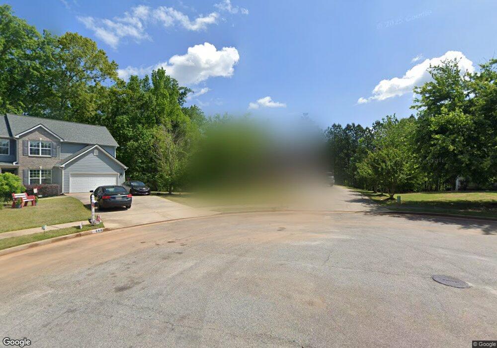
664 Penstock Path Hampton, GA 30228
Estimated Value: $343,000 - $369,000
5
Beds
4
Baths
3,681
Sq Ft
$98/Sq Ft
Est. Value
About This Home
This home is located at 664 Penstock Path, Hampton, GA 30228 and is currently estimated at $359,850, approximately $97 per square foot. 664 Penstock Path is a home located in Henry County with nearby schools including Mount Carmel Elementary School, Hampton Middle School, and Hampton High School.
Ownership History
Date
Name
Owned For
Owner Type
Purchase Details
Closed on
Aug 28, 2009
Sold by
First Frankl Trust 2006-Ff11
Bought by
Finley Kimberly J
Current Estimated Value
Home Financials for this Owner
Home Financials are based on the most recent Mortgage that was taken out on this home.
Original Mortgage
$122,735
Outstanding Balance
$79,738
Interest Rate
5.14%
Mortgage Type
FHA
Estimated Equity
$280,112
Purchase Details
Closed on
Jan 6, 2009
Sold by
Walton Lisa
Bought by
First Franklin Trust 2006-Ff11
Purchase Details
Closed on
May 12, 2006
Sold by
Knight Group Inc
Bought by
Walton Lisa
Home Financials for this Owner
Home Financials are based on the most recent Mortgage that was taken out on this home.
Original Mortgage
$184,645
Interest Rate
7.87%
Mortgage Type
New Conventional
Create a Home Valuation Report for This Property
The Home Valuation Report is an in-depth analysis detailing your home's value as well as a comparison with similar homes in the area
Home Values in the Area
Average Home Value in this Area
Purchase History
| Date | Buyer | Sale Price | Title Company |
|---|---|---|---|
| Finley Kimberly J | $125,000 | -- | |
| First Franklin Trust 2006-Ff11 | $120,000 | -- | |
| Walton Lisa | $230,900 | -- |
Source: Public Records
Mortgage History
| Date | Status | Borrower | Loan Amount |
|---|---|---|---|
| Open | Finley Kimberly J | $122,735 | |
| Previous Owner | Walton Lisa | $184,645 |
Source: Public Records
Tax History
| Year | Tax Paid | Tax Assessment Tax Assessment Total Assessment is a certain percentage of the fair market value that is determined by local assessors to be the total taxable value of land and additions on the property. | Land | Improvement |
|---|---|---|---|---|
| 2025 | $4,435 | $149,280 | $16,000 | $133,280 |
| 2024 | $4,435 | $143,760 | $16,000 | $127,760 |
| 2023 | $3,663 | $134,760 | $14,000 | $120,760 |
| 2022 | $3,529 | $107,720 | $14,000 | $93,720 |
| 2021 | $3,224 | $94,800 | $14,000 | $80,800 |
| 2020 | $3,084 | $88,880 | $10,000 | $78,880 |
| 2019 | $2,918 | $81,880 | $10,000 | $71,880 |
| 2018 | $2,838 | $79,280 | $10,000 | $69,280 |
| 2016 | $2,500 | $70,480 | $8,600 | $61,880 |
| 2015 | $2,262 | $62,760 | $8,600 | $54,160 |
| 2014 | $2,336 | $64,040 | $8,000 | $56,040 |
Source: Public Records
Map
Nearby Homes
- 1201 Pendley Point
- 208 Deodar Ln
- 1209 Pendley Point
- 1200 Pendley Point
- 417 Ryoaks Dr
- 80 Knolls Ridge
- 1438 Highway 3 N
- 101 River View Ct
- 269 Makenna Dr
- 244 Dodgen Rd
- 220 Windpher Ridge
- 173 Goldleaf Dr
- 456 Pearson Cir
- 455 Pearson Cir
- 105 Kentwood Springs Dr
- 260 Sandstone Dr
- 280 Dodgen Rd
- 0 Dodgen Rd Unit 10630730
- 423 Pearson Cir
- 417 Sawmill Trace
- 668 Penstock Path
- 660 Penstock Path
- 656 Penstock Path
- 665 Penstock Path
- 661 Penstock Path
- 657 Penstock Path
- 652 Penstock Path
- 653 Penstock Path
- 648 Penstock Path
- 649 Penstock Path
- 1144 Norsworthy Mill Unit 216
- 1144 Norsworthy Mill
- 1145 Norsworthy Mill
- 1145 Norsworthy Mill Unit 215
- 951 Damson Trail Unit 92
- 951 Damson Trail
- 644 Penstock Path
- 947 Damson Trail
- 947 Damson Trail
- 941 Damson Trail
Your Personal Tour Guide
Ask me questions while you tour the home.