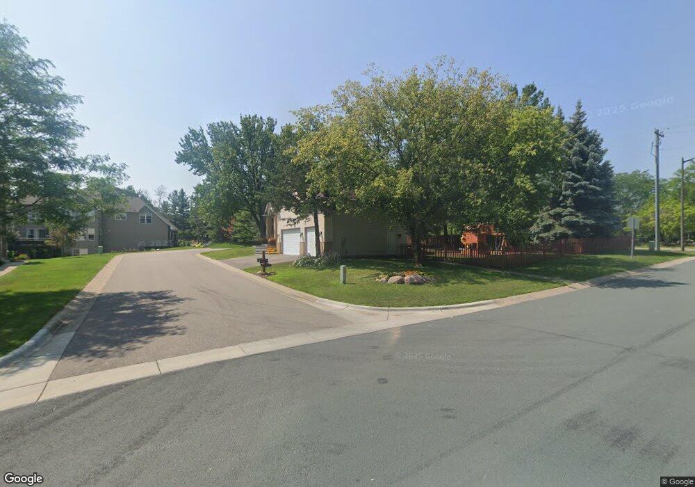
668 Lexie Ct Saint Paul, MN 55123
Estimated Value: $519,000 - $620,000
4
Beds
5
Baths
2,637
Sq Ft
$221/Sq Ft
Est. Value
About This Home
This home is located at 668 Lexie Ct, Saint Paul, MN 55123 and is currently estimated at $584,072, approximately $221 per square foot. 668 Lexie Ct is a home located in Dakota County with nearby schools including Pinewood Elementary School, Dakota Hills Middle School, and Eagan Senior High School.
Ownership History
Date
Name
Owned For
Owner Type
Purchase Details
Closed on
Mar 29, 2016
Sold by
Hawes Mark D and Hawes Tamara Dawn Bohrer
Bought by
Bosela Paulette
Current Estimated Value
Home Financials for this Owner
Home Financials are based on the most recent Mortgage that was taken out on this home.
Original Mortgage
$278,400
Outstanding Balance
$220,954
Interest Rate
3.65%
Mortgage Type
New Conventional
Estimated Equity
$363,118
Purchase Details
Closed on
Jan 10, 2013
Sold by
Hawes Mark D and Hawes Tamara Dawn Bohrer
Bought by
Hawes Mark D and Hawes Tamara Dawn Bohrer
Home Financials for this Owner
Home Financials are based on the most recent Mortgage that was taken out on this home.
Original Mortgage
$256,000
Interest Rate
3.31%
Mortgage Type
New Conventional
Purchase Details
Closed on
Apr 5, 2000
Sold by
Manley Brothers Construction Inc
Bought by
Hawes Mark D and Bohrer Hawes Tammy D
Create a Home Valuation Report for This Property
The Home Valuation Report is an in-depth analysis detailing your home's value as well as a comparison with similar homes in the area
Home Values in the Area
Average Home Value in this Area
Purchase History
| Date | Buyer | Sale Price | Title Company |
|---|---|---|---|
| Bosela Paulette | $348,000 | Burnet Title | |
| Hawes Mark D | -- | North American Title | |
| Hawes Mark D | $293,835 | -- |
Source: Public Records
Mortgage History
| Date | Status | Borrower | Loan Amount |
|---|---|---|---|
| Open | Bosela Paulette | $278,400 | |
| Previous Owner | Hawes Mark D | $256,000 |
Source: Public Records
Tax History Compared to Growth
Tax History
| Year | Tax Paid | Tax Assessment Tax Assessment Total Assessment is a certain percentage of the fair market value that is determined by local assessors to be the total taxable value of land and additions on the property. | Land | Improvement |
|---|---|---|---|---|
| 2024 | $5,724 | $544,800 | $120,600 | $424,200 |
| 2023 | $5,724 | $522,900 | $121,000 | $401,900 |
| 2022 | $4,706 | $501,000 | $120,600 | $380,400 |
| 2021 | $4,488 | $418,500 | $104,900 | $313,600 |
| 2020 | $4,484 | $390,900 | $99,900 | $291,000 |
| 2019 | $4,067 | $380,800 | $91,900 | $288,900 |
| 2018 | $4,277 | $365,000 | $87,500 | $277,500 |
| 2017 | $4,448 | $370,800 | $83,400 | $287,400 |
| 2016 | $4,666 | $367,700 | $79,400 | $288,300 |
| 2015 | $3,914 | $364,425 | $78,522 | $285,903 |
| 2014 | -- | $415,600 | $77,200 | $338,400 |
| 2013 | -- | $362,681 | $69,294 | $293,387 |
Source: Public Records
Map
Nearby Homes
- 591 Autumn Oaks Ct
- 4358 Yorktown Dr
- 4080 Camberwell Dr N
- 4072 Prairie Ridge Rd
- 699 Calvin Ct
- 782 Summerbrooke Ct
- 4231 Yorktown Dr
- 790 Summerbrooke Ct
- 4027 Camberwell Dr N
- 4125 Pennsylvania Ave
- 4274 Maclaren Place
- 4001 Haven Woods Ct
- 4240 Braddock Trail
- 3998 Haven Woods Ct
- 711 Stonebridge Cir
- 4162 Pennsylvania Ave
- 681 Summer Ln
- 4124 New York Ave
- 680 Brockton Curve
- 785 Canter Glen Cir