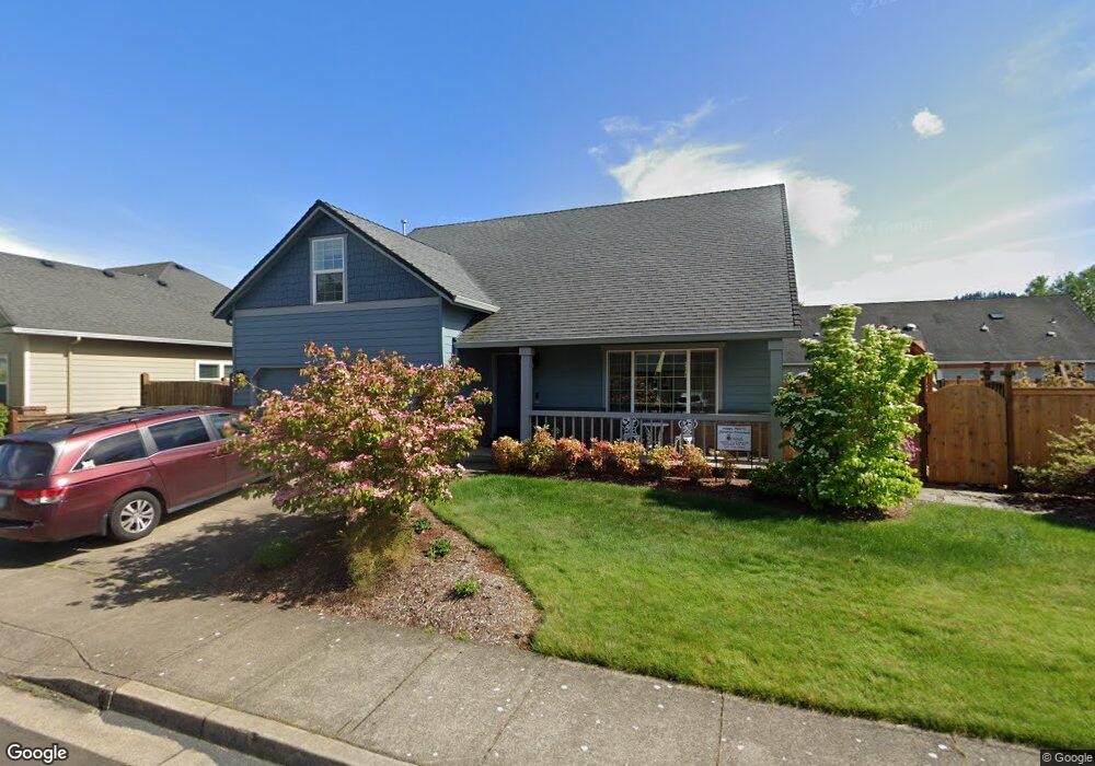
6707 Jacob Ln Springfield, OR 97478
Thurston NeighborhoodEstimated Value: $484,000 - $526,000
3
Beds
2
Baths
1,828
Sq Ft
$279/Sq Ft
Est. Value
About This Home
This home is located at 6707 Jacob Ln, Springfield, OR 97478 and is currently estimated at $509,271, approximately $278 per square foot. 6707 Jacob Ln is a home located in Lane County with nearby schools including Thurston Elementary School, Thurston Middle School, and Thurston High School.
Ownership History
Date
Name
Owned For
Owner Type
Purchase Details
Closed on
Oct 14, 2022
Sold by
Strong Wayne A
Bought by
Strong Revocable Trust
Current Estimated Value
Purchase Details
Closed on
Apr 18, 2002
Sold by
Cozy Homes Inc
Bought by
Strong Wayne A and Strong Carol A
Home Financials for this Owner
Home Financials are based on the most recent Mortgage that was taken out on this home.
Original Mortgage
$167,425
Interest Rate
6.87%
Mortgage Type
Seller Take Back
Purchase Details
Closed on
Jan 22, 2001
Sold by
Dean Thomas K
Bought by
Cozy Homes Inc
Home Financials for this Owner
Home Financials are based on the most recent Mortgage that was taken out on this home.
Original Mortgage
$110,000
Interest Rate
6.84%
Create a Home Valuation Report for This Property
The Home Valuation Report is an in-depth analysis detailing your home's value as well as a comparison with similar homes in the area
Home Values in the Area
Average Home Value in this Area
Purchase History
| Date | Buyer | Sale Price | Title Company |
|---|---|---|---|
| Strong Revocable Trust | -- | -- | |
| Strong Wayne A | $167,425 | Western Title & Escrow Compa | |
| Cozy Homes Inc | $43,165 | Evergreen Land Title Co |
Source: Public Records
Mortgage History
| Date | Status | Borrower | Loan Amount |
|---|---|---|---|
| Previous Owner | Strong Wayne A | $167,425 | |
| Previous Owner | Cozy Homes Inc | $110,000 |
Source: Public Records
Tax History Compared to Growth
Tax History
| Year | Tax Paid | Tax Assessment Tax Assessment Total Assessment is a certain percentage of the fair market value that is determined by local assessors to be the total taxable value of land and additions on the property. | Land | Improvement |
|---|---|---|---|---|
| 2025 | $5,652 | $308,231 | -- | -- |
| 2024 | $5,561 | $299,254 | -- | -- |
| 2023 | $5,561 | $290,538 | $0 | $0 |
| 2022 | $5,150 | $282,076 | $0 | $0 |
| 2021 | $5,058 | $273,861 | $0 | $0 |
| 2020 | $4,910 | $265,885 | $0 | $0 |
| 2019 | $4,762 | $258,141 | $0 | $0 |
| 2018 | $4,489 | $243,323 | $0 | $0 |
| 2017 | $4,317 | $243,323 | $0 | $0 |
| 2016 | $4,226 | $236,236 | $0 | $0 |
| 2015 | $4,106 | $229,355 | $0 | $0 |
| 2014 | $4,044 | $222,675 | $0 | $0 |
Source: Public Records
Map
Nearby Homes
- 6808 Moses Pass
- 7080 Thurston Rd Unit 2
- 482 Laksonen Loop
- 515 70th St
- 0 71st St
- 0 Omlid Dr Unit 1 706471345
- 0 Omlid Dr Unit 27 796722689
- 0 Omlid Dr Unit 26 256458253
- 0 Omlid Dr Unit 3 154724851
- 0 Omlid Dr Unit 2 312357104
- 250 68th St
- 296 65th St
- 6445 B St
- 777 60th St
- 353 72nd St
- 5982 G St
- 1125 58th St Unit 96
- 289 73rd Place
- 6964 Bluebelle Way
- 320 Mountaingate Dr