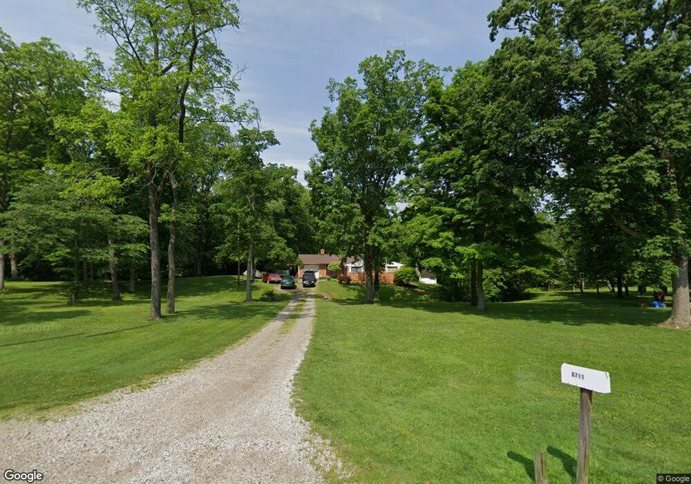
6711 Gorsuch Rd Franklin, OH 45005
Estimated Value: $238,000 - $310,000
3
Beds
2
Baths
1,378
Sq Ft
$202/Sq Ft
Est. Value
About This Home
This home is located at 6711 Gorsuch Rd, Franklin, OH 45005 and is currently estimated at $278,344, approximately $201 per square foot. 6711 Gorsuch Rd is a home located in Warren County with nearby schools including Franklin High School.
Ownership History
Date
Name
Owned For
Owner Type
Purchase Details
Closed on
Feb 28, 2019
Sold by
Townsend Scotty P and Townsend Paula
Bought by
Ledford Tonya R and Townsend Jerry B
Current Estimated Value
Purchase Details
Closed on
Jan 27, 2019
Sold by
Townsend Scotty P and Townsend Paula
Bought by
Ledford Tonya R and Townsend Jerry B
Purchase Details
Closed on
Jan 4, 1988
Sold by
Townsend Scotty P and Townsend Anita
Bought by
Townsend and Townsend Scotty P
Purchase Details
Closed on
Nov 18, 1985
Sold by
Leflar Richard E and Leflar Nancy
Bought by
Townsend and Townsend Scotty P
Purchase Details
Closed on
May 24, 1978
Sold by
Taylor Taylor and Taylor Leo
Create a Home Valuation Report for This Property
The Home Valuation Report is an in-depth analysis detailing your home's value as well as a comparison with similar homes in the area
Home Values in the Area
Average Home Value in this Area
Purchase History
| Date | Buyer | Sale Price | Title Company |
|---|---|---|---|
| Ledford Tonya R | -- | None Available | |
| Ledford Tonya R | -- | None Available | |
| Townsend Scotty P | -- | None Available | |
| Townsend | $8,000 | -- | |
| Townsend | $63,000 | -- | |
| -- | $56,000 | -- |
Source: Public Records
Tax History Compared to Growth
Tax History
| Year | Tax Paid | Tax Assessment Tax Assessment Total Assessment is a certain percentage of the fair market value that is determined by local assessors to be the total taxable value of land and additions on the property. | Land | Improvement |
|---|---|---|---|---|
| 2024 | $2,881 | $70,720 | $25,070 | $45,650 |
| 2023 | $2,435 | $54,939 | $17,713 | $37,226 |
| 2022 | $2,389 | $54,940 | $17,714 | $37,226 |
| 2021 | $2,265 | $54,940 | $17,714 | $37,226 |
| 2020 | $2,218 | $48,619 | $15,677 | $32,942 |
| 2019 | $2,018 | $48,619 | $15,677 | $32,942 |
| 2018 | $1,984 | $48,619 | $15,677 | $32,942 |
| 2017 | $1,925 | $43,491 | $13,797 | $29,694 |
| 2016 | $1,962 | $43,491 | $13,797 | $29,694 |
| 2015 | $1,962 | $43,491 | $13,797 | $29,694 |
| 2014 | $1,778 | $39,910 | $12,920 | $27,000 |
| 2013 | $1,527 | $46,930 | $14,640 | $32,290 |
Source: Public Records
Map
Nearby Homes
- 6801 Gorsuch Rd
- 22 Green Meadow Ct
- 155 Green Knoll Dr
- 6 Beal Rd
- 191 Lakeview Dr
- 995 E 4th St
- 7657 Sharts Rd
- 5554 State Route 123
- 5554 Ohio 123
- 25 Copperhead Trail
- 16 Harding Ct
- 3338 Mclean Rd
- 718 Millard Dr
- 45 Libby Hollow St
- 445 Beam Dr
- 590 Kristine Ln
- 4491 Michaels Dr
- 0 Kathy Ln Unit 1834240
- 0 Kathy Ln Unit 930066
- 388 Thomas Dr
- 6723 Gorsuch Rd
- 6613 Gorsuch Rd
- 6650 Gorsuch Rd
- 6733 Gorsuch Rd
- 6659 Gorsuch Rd
- 3962 Anthony Ln
- 3948 Anthony Ln
- 6610 Gorsuch Rd
- 6720 Gorsuch Rd
- 215 Green Knoll Dr
- 3950 Anthony Ln
- 205 Green Knoll Dr
- 6584 Gorsuch Rd
- 6737 Gorsuch Rd
- 225 Green Knoll Dr
- 3935 Anthony Ln
- 195 Green Knoll Dr
- 6570 Gorsuch Rd
- 3912 Anthony Ln
- 235 Green Knoll Dr