Estimated Value: $232,371 - $293,000
2
Beds
2
Baths
1,132
Sq Ft
$234/Sq Ft
Est. Value
About This Home
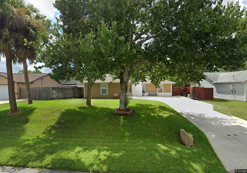
This home is located at 6772 Cecil Rd, Cocoa, FL 32927 and is currently estimated at $264,593, approximately $233 per square foot. 6772 Cecil Rd is a home located in Brevard County with nearby schools including Enterprise Elementary School, Space Coast Junior/Senior High School, and Sculptor Charter School.
Ownership History
Date
Name
Owned For
Owner Type
Purchase Details
Closed on
Jul 11, 2003
Sold by
Boorom Matthew T
Bought by
Boorom Jeromy L
Current Estimated Value
Home Financials for this Owner
Home Financials are based on the most recent Mortgage that was taken out on this home.
Original Mortgage
$80,512
Outstanding Balance
$33,997
Interest Rate
5.17%
Estimated Equity
$230,596
Purchase Details
Closed on
Nov 24, 1999
Sold by
Green Luann K and Chambers Luann G
Bought by
Boorom Jeromy L and Boorom Matthew T
Home Financials for this Owner
Home Financials are based on the most recent Mortgage that was taken out on this home.
Original Mortgage
$79,857
Interest Rate
7.89%
Create a Home Valuation Report for This Property
The Home Valuation Report is an in-depth analysis detailing your home's value as well as a comparison with similar homes in the area
Home Values in the Area
Average Home Value in this Area
Purchase History
| Date | Buyer | Sale Price | Title Company |
|---|---|---|---|
| Boorom Jeromy L | $38,000 | Total Trust Title Inc | |
| Boorom Jeromy L | $79,900 | -- |
Source: Public Records
Mortgage History
| Date | Status | Borrower | Loan Amount |
|---|---|---|---|
| Open | Boorom Jeromy L | $80,512 | |
| Previous Owner | Boorom Jeromy L | $79,857 |
Source: Public Records
Tax History
| Year | Tax Paid | Tax Assessment Tax Assessment Total Assessment is a certain percentage of the fair market value that is determined by local assessors to be the total taxable value of land and additions on the property. | Land | Improvement |
|---|---|---|---|---|
| 2025 | $980 | $67,420 | -- | -- |
| 2024 | $961 | $65,520 | -- | -- |
| 2023 | $961 | $63,620 | $0 | $0 |
| 2022 | $912 | $61,770 | $0 | $0 |
| 2021 | $913 | $59,980 | $0 | $0 |
| 2020 | $867 | $59,160 | $0 | $0 |
| 2019 | $815 | $57,830 | $0 | $0 |
| 2018 | $815 | $56,760 | $0 | $0 |
| 2017 | $815 | $55,600 | $0 | $0 |
| 2016 | $821 | $54,460 | $18,000 | $36,460 |
| 2015 | $825 | $54,090 | $15,000 | $39,090 |
| 2014 | $830 | $53,670 | $11,000 | $42,670 |
Source: Public Records
Map
Nearby Homes
- 6760 Cairo Rd
- 6815 Bryant Rd
- 6615 Dock Ave
- 7065 Hundred Acre Dr
- 5155 Mayflower St
- 00 Unknown
- 5075 Carter St
- 6990 Bryant Rd
- 5555 Brandon St
- 6450 Ember Ave
- 5165 Patricia St
- 6620 Grissom Pkwy
- 5080 Mayflower St
- 6581 Bancroft Ave
- 0000 Grissom Pkwy
- 6398 Cable Ave
- 6481 La Brea Ave
- 7045 Grissom Pkwy
- 5680 Brandon St
- 5200 Frisco St
Your Personal Tour Guide
Ask me questions while you tour the home.