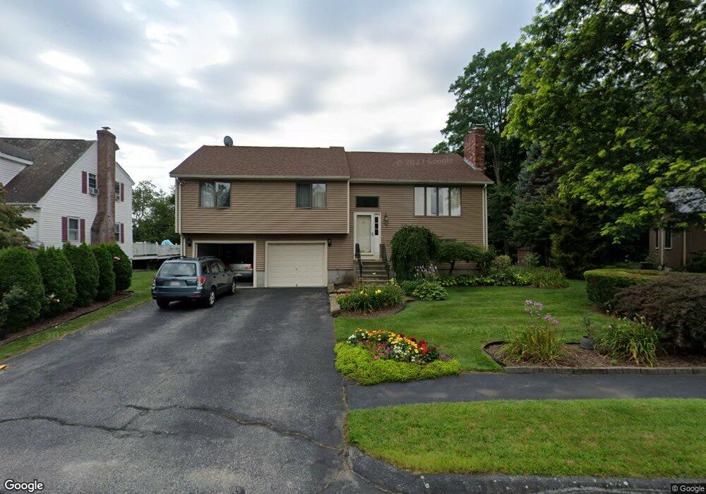
68 Brookhaven Rd Worcester, MA 01606
Indian Hill NeighborhoodEstimated Value: $452,421 - $533,000
3
Beds
3
Baths
1,344
Sq Ft
$364/Sq Ft
Est. Value
About This Home
This home is located at 68 Brookhaven Rd, Worcester, MA 01606 and is currently estimated at $489,855, approximately $364 per square foot. 68 Brookhaven Rd is a home located in Worcester County with nearby schools including Nelson Place Elementary School, Jacob Hiatt Magnet School, and Chandler Magnet.
Ownership History
Date
Name
Owned For
Owner Type
Purchase Details
Closed on
Oct 21, 2020
Sold by
Voyiatzis Jordan and Voyiatzis Eleni
Bought by
Voyiatzis Ft 2020
Current Estimated Value
Purchase Details
Closed on
Nov 1, 1989
Sold by
Scheffer Roebrt
Bought by
Voyiatzis Jordanis
Home Financials for this Owner
Home Financials are based on the most recent Mortgage that was taken out on this home.
Original Mortgage
$100,000
Interest Rate
9.9%
Mortgage Type
Purchase Money Mortgage
Purchase Details
Closed on
May 5, 1987
Sold by
Horne Robert H
Bought by
Tilton Pamela A
Home Financials for this Owner
Home Financials are based on the most recent Mortgage that was taken out on this home.
Original Mortgage
$97,000
Interest Rate
8.99%
Mortgage Type
Purchase Money Mortgage
Create a Home Valuation Report for This Property
The Home Valuation Report is an in-depth analysis detailing your home's value as well as a comparison with similar homes in the area
Home Values in the Area
Average Home Value in this Area
Purchase History
| Date | Buyer | Sale Price | Title Company |
|---|---|---|---|
| Voyiatzis Ft 2020 | -- | None Available | |
| Voyiatzis Jordanis | $169,000 | -- | |
| Tilton Pamela A | $165,000 | -- |
Source: Public Records
Mortgage History
| Date | Status | Borrower | Loan Amount |
|---|---|---|---|
| Previous Owner | Tilton Pamela A | $100,000 | |
| Previous Owner | Tilton Pamela A | $97,000 |
Source: Public Records
Tax History
| Year | Tax Paid | Tax Assessment Tax Assessment Total Assessment is a certain percentage of the fair market value that is determined by local assessors to be the total taxable value of land and additions on the property. | Land | Improvement |
|---|---|---|---|---|
| 2025 | $4,998 | $378,900 | $118,800 | $260,100 |
| 2024 | $4,887 | $355,400 | $118,800 | $236,600 |
| 2023 | $4,696 | $327,500 | $103,300 | $224,200 |
| 2022 | $4,385 | $288,300 | $82,600 | $205,700 |
| 2021 | $4,433 | $272,300 | $66,100 | $206,200 |
| 2020 | $4,143 | $243,700 | $66,100 | $177,600 |
| 2019 | $4,039 | $224,400 | $59,500 | $164,900 |
| 2018 | $3,994 | $211,200 | $59,500 | $151,700 |
| 2017 | $3,952 | $205,600 | $59,500 | $146,100 |
| 2016 | $3,803 | $184,500 | $43,800 | $140,700 |
| 2015 | $3,703 | $184,500 | $43,800 | $140,700 |
| 2014 | $3,605 | $184,500 | $43,800 | $140,700 |
Source: Public Records
Map
Nearby Homes
- 70 Brookhaven Rd
- 66 Brookhaven Rd
- 69 Brookhaven Rd
- 72 Brookhaven Rd
- 64 Brookhaven Rd
- 44 Bonnybrook Rd
- 116 Holden St
- 116 Holden St Unit 116
- 63 Brookhaven Rd
- 74 Brookhaven Rd
- 62 Brookhaven Rd
- 42 Bonnybrook Rd
- 118 Holden St
- 61 Brookhaven Rd
- 76 Brookhaven Rd
- 40 Bonnybrook Rd
- 120 Holden St
- 60 Brookhaven Rd
- 59 Brookhaven Rd
- 38 Bonnybrook Rd
Your Personal Tour Guide
Ask me questions while you tour the home.