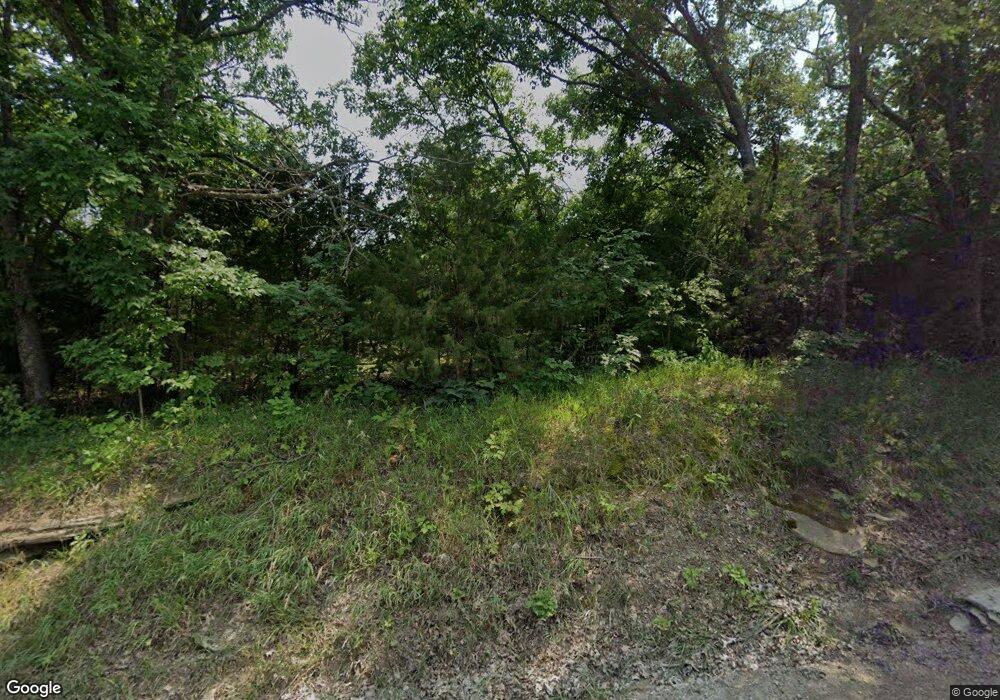
680 N 1851st Diag Rd Lecompton, KS 66050
Scenic Riverway NeighborhoodEstimated Value: $440,000 - $479,744
3
Beds
2
Baths
1,481
Sq Ft
$311/Sq Ft
Est. Value
About This Home
This home is located at 680 N 1851st Diag Rd, Lecompton, KS 66050 and is currently estimated at $459,872, approximately $310 per square foot. 680 N 1851st Diag Rd is a home located in Douglas County with nearby schools including Lecompton Elementary School, Perry-Lecompton Middle School, and Perry-Lecompton High School.
Ownership History
Date
Name
Owned For
Owner Type
Purchase Details
Closed on
May 5, 2006
Sold by
Mathews Larry L and Mathews Brenda F
Bought by
Flanner Lowell P and Flanner Kelli E
Current Estimated Value
Home Financials for this Owner
Home Financials are based on the most recent Mortgage that was taken out on this home.
Original Mortgage
$148,000
Interest Rate
6.56%
Mortgage Type
Purchase Money Mortgage
Create a Home Valuation Report for This Property
The Home Valuation Report is an in-depth analysis detailing your home's value as well as a comparison with similar homes in the area
Home Values in the Area
Average Home Value in this Area
Purchase History
| Date | Buyer | Sale Price | Title Company |
|---|---|---|---|
| Flanner Lowell P | -- | First American Title |
Source: Public Records
Mortgage History
| Date | Status | Borrower | Loan Amount |
|---|---|---|---|
| Previous Owner | Flanner Lowell P | $148,000 |
Source: Public Records
Tax History Compared to Growth
Tax History
| Year | Tax Paid | Tax Assessment Tax Assessment Total Assessment is a certain percentage of the fair market value that is determined by local assessors to be the total taxable value of land and additions on the property. | Land | Improvement |
|---|---|---|---|---|
| 2025 | $5,324 | $46,374 | $8,104 | $38,270 |
| 2024 | $5,202 | $45,401 | $8,104 | $37,297 |
| 2023 | $5,008 | $42,176 | $7,546 | $34,630 |
| 2022 | $4,906 | $39,932 | $7,323 | $32,609 |
| 2021 | $4,380 | $34,131 | $5,973 | $28,158 |
| 2020 | $4,111 | $32,556 | $5,973 | $26,583 |
| 2019 | $3,153 | $25,082 | $3,403 | $21,679 |
| 2018 | $3,048 | $24,195 | $3,267 | $20,928 |
| 2017 | $2,899 | $22,903 | $2,186 | $20,717 |
| 2016 | $2,735 | $21,973 | $1,508 | $20,465 |
| 2015 | $2,681 | $21,930 | $1,572 | $20,358 |
| 2014 | $2,569 | $21,077 | $1,545 | $19,532 |
Source: Public Records
Map
Nearby Homes
- 687 N 2050th Rd
- 687 N 2050th Rd
- 668 N 1851st Diag Rd
- 691 N 2050th Rd
- 656 N 1851st Diag Rd
- 634 N 1851st Diag Rd
- 682 N 2050th Rd
- 707 N 2050th Rd
- 707 N 2050th Rd
- 696 N 2050th Rd
- 649 N 2050th Rd
- 656 N 2050th Rd
- 48.67 AC N 2050 Rd
- 1320 E 7th St
- 652 N 2050th Rd
- 1310 E 7th St
- 726 N 1851st Diag Rd
- 638 Jones St
- 1130 E 7th St
- 602 Jones St
