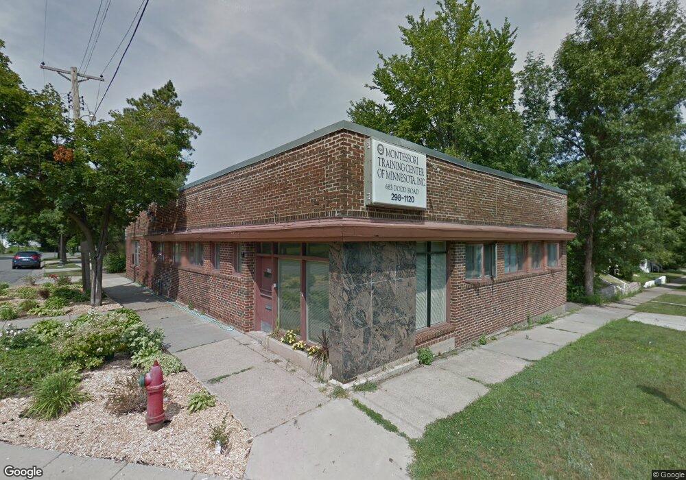
683 Dodd Rd Saint Paul, MN 55107
West Side NeighborhoodEstimated Value: $300,000 - $346,000
1
Bed
2
Baths
2,968
Sq Ft
$108/Sq Ft
Est. Value
About This Home
This home is located at 683 Dodd Rd, Saint Paul, MN 55107 and is currently estimated at $320,811, approximately $108 per square foot. 683 Dodd Rd is a home located in Ramsey County with nearby schools including Cherokee Heights Elementary School, Humboldt Secondary School, and Quantum STEAM Academy.
Ownership History
Date
Name
Owned For
Owner Type
Purchase Details
Closed on
May 24, 2024
Sold by
Obrien Peter and Pearce Helen Cochran
Bought by
Obrien Peter and Pearce Helen Cochran
Current Estimated Value
Home Financials for this Owner
Home Financials are based on the most recent Mortgage that was taken out on this home.
Original Mortgage
$102,400
Outstanding Balance
$99,151
Interest Rate
7.1%
Mortgage Type
New Conventional
Estimated Equity
$221,660
Purchase Details
Closed on
May 15, 2013
Sold by
Montessori Training Center Of Minnesota
Bought by
Brien Peter O and Pearce Helen
Create a Home Valuation Report for This Property
The Home Valuation Report is an in-depth analysis detailing your home's value as well as a comparison with similar homes in the area
Home Values in the Area
Average Home Value in this Area
Purchase History
| Date | Buyer | Sale Price | Title Company |
|---|---|---|---|
| Obrien Peter | $485 | Stewart Title Guaranty Company | |
| Brien Peter O | $110,000 | Multiple |
Source: Public Records
Mortgage History
| Date | Status | Borrower | Loan Amount |
|---|---|---|---|
| Open | Obrien Peter | $102,400 |
Source: Public Records
Tax History Compared to Growth
Tax History
| Year | Tax Paid | Tax Assessment Tax Assessment Total Assessment is a certain percentage of the fair market value that is determined by local assessors to be the total taxable value of land and additions on the property. | Land | Improvement |
|---|---|---|---|---|
| 2025 | $4,096 | $285,100 | $24,500 | $260,600 |
| 2023 | $4,096 | $249,300 | $20,600 | $228,700 |
| 2022 | $3,304 | $198,300 | $20,600 | $177,700 |
| 2021 | $3,850 | $184,400 | $20,600 | $163,800 |
| 2020 | $3,350 | $226,300 | $28,000 | $198,300 |
| 2019 | $3,404 | $183,300 | $28,000 | $155,300 |
| 2018 | $2,452 | $184,600 | $28,000 | $156,600 |
| 2017 | $2,204 | $139,100 | $28,000 | $111,100 |
| 2016 | $2,248 | $0 | $0 | $0 |
| 2015 | $1,998 | $115,600 | $28,000 | $87,600 |
| 2014 | $1,868 | $0 | $0 | $0 |
Source: Public Records
Map
Nearby Homes
- 116 Page St W
- 110 King St W
- 15 Belvidere St W
- 71 George St W
- 837 Bidwell St
- 517 Bidwell St
- 206 Winona St W
- 272 Baker St W
- 259 Curtice St W
- 867 Winslow Ave
- 66 Stevens St E
- 114 Congress St W
- 61 George St E
- 767 Robert St S
- 908 Bellows St
- 31 Annapolis St E
- 301 George St W
- 1517 Timberwood Ln
- 311 George St W
- 409 Winslow Ave
- 669 Winslow Ave
- 115 Morton St W
- 663 Winslow Ave
- 681 681 Dodd-Road-
- 681 681 Dodd Rd
- 659 Winslow Ave
- 659 Winslow Ave
- 659 659 Winslow-Avenue-
- 89 Morton St W
- 118 & 120 Morton St W
- 118 Morton St W
- 88 Morton St W
- 681 Dodd Rd
- 693 Winslow Ave
- 674 Bidwell St
- 674 674 Bidwell St
- 110 Baker St W
- 660 Winslow Ave
- 83 Morton St W
- 86 Morton St W