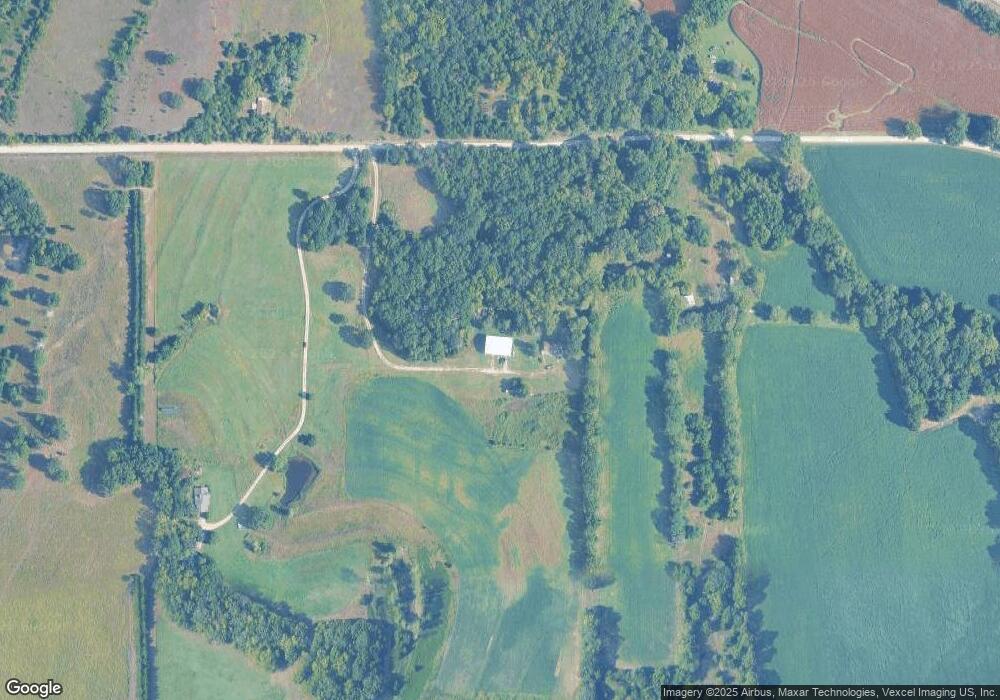
691 N 2050th Rd Lecompton, KS 66050
Scenic Riverway NeighborhoodEstimated Value: $298,535 - $348,000
3
Beds
2
Baths
1,560
Sq Ft
$204/Sq Ft
Est. Value
About This Home
This home is located at 691 N 2050th Rd, Lecompton, KS 66050 and is currently estimated at $318,845, approximately $204 per square foot. 691 N 2050th Rd is a home located in Douglas County with nearby schools including Lecompton Elementary School, Perry-Lecompton Middle School, and Perry-Lecompton High School.
Ownership History
Date
Name
Owned For
Owner Type
Purchase Details
Closed on
Jul 27, 2023
Sold by
Douglas D Bennett D and Douglas Angela I
Bought by
Palermo Anna and Palermo Brian
Current Estimated Value
Purchase Details
Closed on
Nov 14, 2022
Sold by
Mathews Larry L
Bought by
Douglas D Bennett And Angela I Bennett Living
Purchase Details
Closed on
Feb 25, 2021
Sold by
Mathews Larry L
Bought by
Mathews Larry L and Mathew Jeff
Purchase Details
Closed on
Nov 4, 2003
Sold by
Mathews Jeffery L and Mathews Teresa A
Bought by
Mathews Larry L and Mathews Brenda F
Create a Home Valuation Report for This Property
The Home Valuation Report is an in-depth analysis detailing your home's value as well as a comparison with similar homes in the area
Home Values in the Area
Average Home Value in this Area
Purchase History
| Date | Buyer | Sale Price | Title Company |
|---|---|---|---|
| Palermo Anna | -- | Security 1St Title | |
| Douglas D Bennett And Angela I Bennett Living | -- | Eland Title | |
| Mathews Larry L | -- | None Listed On Document | |
| Mathews Larry L | -- | -- |
Source: Public Records
Tax History
| Year | Tax Paid | Tax Assessment Tax Assessment Total Assessment is a certain percentage of the fair market value that is determined by local assessors to be the total taxable value of land and additions on the property. | Land | Improvement |
|---|---|---|---|---|
| 2025 | $3,074 | $27,396 | $8,714 | $18,682 |
| 2024 | $2,996 | $26,768 | $8,714 | $18,054 |
| 2023 | $2,849 | $24,336 | $8,096 | $16,240 |
| 2022 | $3,248 | $26,686 | $4,592 | $22,094 |
| 2021 | $2,778 | $21,781 | $4,329 | $17,452 |
| 2020 | $2,572 | $20,505 | $4,281 | $16,224 |
| 2019 | $2,462 | $19,665 | $4,394 | $15,271 |
| 2018 | $2,376 | $18,936 | $4,207 | $14,729 |
| 2017 | $2,323 | $18,423 | $4,126 | $14,297 |
| 2016 | $2,167 | $17,485 | $2,860 | $14,625 |
| 2015 | -- | $17,142 | $2,722 | $14,420 |
| 2014 | -- | $16,839 | $2,602 | $14,237 |
Source: Public Records
Map
Nearby Homes
- 707 N 2050th Rd
- 707 N 2050th Rd
- 696 N 2050th Rd
- 682 N 2050th Rd
- 687 N 2050th Rd
- 687 N 2050th Rd
- 680 N 1851st Diag Rd
- 634 N 1851st Diag Rd
- 656 N 2050th Rd
- 668 N 1851st Diag Rd
- 649 N 2050th Rd
- 652 N 2050th Rd
- 1320 E 7th St
- 48.67 AC N 2050 Rd
- 656 N 1851st Diag Rd
- 1310 E 7th St
- 726 N 1851st Diag Rd
- 602 Jones St
- 638 Jones St
- 2015 E 773rd Rd
Your Personal Tour Guide
Ask me questions while you tour the home.