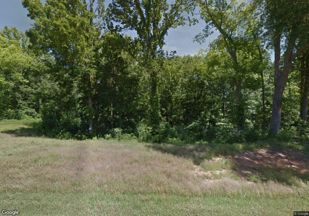
694 Smokestack Dr Hernando, MS 38632
Estimated Value: $429,000 - $533,000
4
Beds
--
Bath
3,368
Sq Ft
$145/Sq Ft
Est. Value
About This Home
This home is located at 694 Smokestack Dr, Hernando, MS 38632 and is currently estimated at $488,391, approximately $145 per square foot. 694 Smokestack Dr is a home with nearby schools including Oak Grove Central Elementary School, Hernando Elementary School, and Hernando Hills Elementary.
Ownership History
Date
Name
Owned For
Owner Type
Purchase Details
Closed on
Oct 12, 2018
Sold by
Pintail Construction Llc
Bought by
Scott David R and Scott Brittney E
Current Estimated Value
Home Financials for this Owner
Home Financials are based on the most recent Mortgage that was taken out on this home.
Original Mortgage
$263,950
Outstanding Balance
$230,180
Interest Rate
4.5%
Mortgage Type
New Conventional
Estimated Equity
$258,211
Purchase Details
Closed on
Feb 8, 2018
Sold by
Scott David R
Bought by
Pintail Construction Llc
Home Financials for this Owner
Home Financials are based on the most recent Mortgage that was taken out on this home.
Original Mortgage
$242,065
Interest Rate
3.99%
Mortgage Type
Construction
Purchase Details
Closed on
Apr 17, 2017
Sold by
Mckinney Joshua L and Mckinney Hillary S
Bought by
Scott David R
Home Financials for this Owner
Home Financials are based on the most recent Mortgage that was taken out on this home.
Original Mortgage
$33,600
Interest Rate
4.3%
Mortgage Type
Credit Line Revolving
Create a Home Valuation Report for This Property
The Home Valuation Report is an in-depth analysis detailing your home's value as well as a comparison with similar homes in the area
Home Values in the Area
Average Home Value in this Area
Purchase History
| Date | Buyer | Sale Price | Title Company |
|---|---|---|---|
| Scott David R | -- | None Available | |
| Pintail Construction Llc | -- | -- | |
| Scott David R | -- | None Available |
Source: Public Records
Mortgage History
| Date | Status | Borrower | Loan Amount |
|---|---|---|---|
| Open | Scott David R | $263,950 | |
| Previous Owner | Pintail Construction Llc | $242,065 | |
| Previous Owner | Scott David R | $33,600 |
Source: Public Records
Tax History Compared to Growth
Tax History
| Year | Tax Paid | Tax Assessment Tax Assessment Total Assessment is a certain percentage of the fair market value that is determined by local assessors to be the total taxable value of land and additions on the property. | Land | Improvement |
|---|---|---|---|---|
| 2024 | $2,054 | $23,314 | $3,300 | $20,014 |
| 2023 | $2,054 | $23,314 | $0 | $0 |
| 2022 | $2,054 | $23,314 | $3,300 | $20,014 |
| 2021 | $2,054 | $23,314 | $3,300 | $20,014 |
| 2020 | $1,892 | $21,711 | $0 | $0 |
| 2019 | $1,892 | $21,711 | $3,300 | $18,411 |
| 2017 | $503 | $4,950 | $4,950 | $0 |
| 2016 | $503 | $0 | $0 | $0 |
Source: Public Records
Map
Nearby Homes
- 650 Smoke Stack Dr
- 7848 Missy Cove
- 0 Ranch Rd
- 5441 Grays Valley Dr
- 681 Gaines Rd
- 0 Slocum Rd
- 0 Gaines Rd
- 407 N Thunderbird Rd
- 8722 Bobwhite Dr
- 8467 Crazy Horse Cove
- 2008 Slocum Rd
- 8701 Bobwhite Dr
- 1561 Kimber Cove
- 929 Thunderbird Dr N
- 5064 Sophia Ln
- 1201 Wheeler Rd
- 2288 Slocum Rd
- 2603 Plank Rd
- 2581 Plank Rd
- 2595 Cyrene Dr
- 27 Love Station
- 0 Smoke Stack Dr
- 756 Smokestack Dr
- 711 Smokestack Dr
- 655 Smokestack Dr
- 7006 Love Station Loop Rd
- 7129 Love Station Loop Rd
- 7145 Railroad Station
- 7166 Railroad Station
- 7100 Love Station Loop Rd
- 601 Smokestack Dr
- 7163 Love Station Loop Rd
- 7144 Love Station Loop Rd
- 510 Smokestack Dr
- 7197 Railroad Station
- 7178 Love Station Loop Rd
- 7199 Love Station Loop Rd
- 478 Smokestack Dr
- 724 Club Car Dr
