707 Murfreesboro Rd Franklin, TN 37064
Central Franklin NeighborhoodEstimated Value: $930,000 - $1,386,000
Studio
1
Bath
2,921
Sq Ft
$403/Sq Ft
Est. Value
About This Home
This home is located at 707 Murfreesboro Rd, Franklin, TN 37064 and is currently estimated at $1,178,365, approximately $403 per square foot. 707 Murfreesboro Rd is a home located in Williamson County with nearby schools including Liberty Elementary School, Freedom Intermediate School, and Freedom Middle School.
Ownership History
Date
Name
Owned For
Owner Type
Purchase Details
Closed on
Aug 19, 2003
Sold by
Wells Claiborne F and Dalton Catherine W
Bought by
Bisagno Tim and Bisagno Edye M
Current Estimated Value
Home Financials for this Owner
Home Financials are based on the most recent Mortgage that was taken out on this home.
Original Mortgage
$207,000
Outstanding Balance
$92,503
Interest Rate
5.94%
Mortgage Type
Purchase Money Mortgage
Estimated Equity
$1,085,862
Create a Home Valuation Report for This Property
The Home Valuation Report is an in-depth analysis detailing your home's value as well as a comparison with similar homes in the area
Home Values in the Area
Average Home Value in this Area
Purchase History
| Date | Buyer | Sale Price | Title Company |
|---|---|---|---|
| Bisagno Tim | $277,000 | Centennial Title Co |
Source: Public Records
Mortgage History
| Date | Status | Borrower | Loan Amount |
|---|---|---|---|
| Open | Bisagno Tim | $207,000 |
Source: Public Records
Tax History
| Year | Tax Paid | Tax Assessment Tax Assessment Total Assessment is a certain percentage of the fair market value that is determined by local assessors to be the total taxable value of land and additions on the property. | Land | Improvement |
|---|---|---|---|---|
| 2025 | $4,585 | $311,025 | $240,875 | $70,150 |
| 2024 | $4,585 | $161,925 | $102,375 | $59,550 |
| 2023 | $4,407 | $161,925 | $102,375 | $59,550 |
| 2022 | $4,407 | $161,925 | $102,375 | $59,550 |
| 2021 | $4,407 | $161,925 | $102,375 | $59,550 |
| 2020 | $3,394 | $105,225 | $54,600 | $50,625 |
| 2019 | $3,394 | $105,225 | $54,600 | $50,625 |
| 2018 | $3,321 | $105,225 | $54,600 | $50,625 |
| 2017 | $3,268 | $105,225 | $54,600 | $50,625 |
Source: Public Records
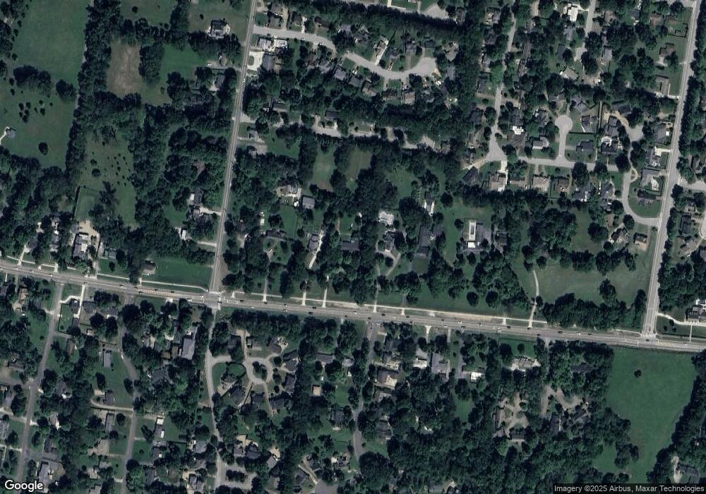
Map
Nearby Homes
- 710 Murfreesboro Rd
- 232 Pebble Glen Dr
- 718 Murfreesboro Rd
- 107 Sturbridge Dr
- 121 Pebble View Dr
- 310 Watercress Dr
- 221 Scotsman Ln
- 408 Dragonfly Ct
- 639 Band Dr
- 626 Band Dr
- 112 Ormesby Place Unit 23
- 811 Thatcher Way
- 419 Lewisburg Ave
- 305 4th Ave S
- 116 Church St
- 224 3rd Ave S
- 141 2nd Ave S
- 727 Sir Winston Place
- 214 3rd Ave S
- 215 Lewisburg Ave
- 705 Murfreesboro Rd
- 711 Murfreesboro Rd
- 703 Murfreesboro Rd
- 713 Murfreesboro Rd
- 435 Eddy Ln
- 715 Murfreesboro Rd
- 433 Eddy Ln
- 433 Eddy Ln Unit B
- 101 Yorktown Rd
- 701 Murfreesboro Rd
- 708 Murfreesboro Rd
- 103 Yorktown Rd
- 212 Asheboro Place
- 124 Rebecca Ct
- 128 Rebecca Ct
- 120 Rebecca Ct
- 132 Rebecca Ct
- 116 Rebecca Ct
- 714 Murfreesboro Rd
- 204 Asheboro Place
Your Personal Tour Guide
Ask me questions while you tour the home.