Estimated Value: $1,885,000 - $2,867,574
Studio
3
Baths
--
Sq Ft
152,460
Sq Ft Lot
About This Home
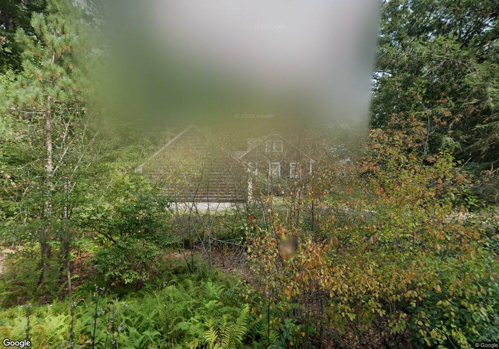
This home is located at 71 Claybrook Rd, Dover, MA 02030 and is currently estimated at $2,244,894. 71 Claybrook Rd is a home located in Norfolk County with nearby schools including Chickering Elementary School, Dover-Sherborn Regional Middle School, and Dover-Sherborn Regional High School.
Ownership History
Date
Name
Owned For
Owner Type
Purchase Details
Closed on
May 13, 2005
Sold by
Carter Dale
Bought by
71 Clay Brk Rd Rt and Fisch Lawrence
Current Estimated Value
Home Financials for this Owner
Home Financials are based on the most recent Mortgage that was taken out on this home.
Original Mortgage
$1,500,000
Outstanding Balance
$792,634
Interest Rate
6.05%
Mortgage Type
Purchase Money Mortgage
Estimated Equity
$1,452,260
Create a Home Valuation Report for This Property
The Home Valuation Report is an in-depth analysis detailing your home's value as well as a comparison with similar homes in the area
Home Values in the Area
Average Home Value in this Area
Purchase History
| Date | Buyer | Sale Price | Title Company |
|---|---|---|---|
| 71 Clay Brk Rd Rt | $1,100,000 | -- |
Source: Public Records
Mortgage History
| Date | Status | Borrower | Loan Amount |
|---|---|---|---|
| Open | 71 Clay Brk Rd Rt | $1,500,000 |
Source: Public Records
Tax History
| Year | Tax Paid | Tax Assessment Tax Assessment Total Assessment is a certain percentage of the fair market value that is determined by local assessors to be the total taxable value of land and additions on the property. | Land | Improvement |
|---|---|---|---|---|
| 2025 | $20,989 | $1,862,400 | $1,328,500 | $533,900 |
| 2024 | $19,965 | $1,821,600 | $1,287,700 | $533,900 |
| 2023 | $19,411 | $1,592,400 | $1,133,400 | $459,000 |
| 2022 | $19,018 | $1,531,200 | $1,092,600 | $438,600 |
| 2021 | $19,737 | $1,531,200 | $1,092,600 | $438,600 |
| 2020 | $19,661 | $1,531,200 | $1,092,600 | $438,600 |
| 2019 | $19,798 | $1,531,200 | $1,092,600 | $438,600 |
| 2018 | $19,291 | $1,502,400 | $1,092,600 | $409,800 |
| 2017 | $18,432 | $1,412,400 | $1,010,900 | $401,500 |
| 2016 | $18,245 | $1,416,500 | $1,010,900 | $405,600 |
| 2015 | $17,419 | $1,371,600 | $966,000 | $405,600 |
Source: Public Records
Map
Nearby Homes
- 60 Claybrook Rd
- 62 Claybrook Rd
- 365 Charles River St
- 1780 Central Ave
- 68 Locust Ln
- 24 Moseley Ave
- 52 Willow St
- 389 Grove St
- 1 Old Colony Dr
- 37 Carleton Dr
- 34 Stratford Rd
- 182 Winding River Rd
- 9 Buttercup Ln
- 8 Crestview Rd
- 8 Warren Rd
- 1 Mill St
- 121 Livingston Rd
- 189 Bridle Trail Rd
- 222 Grove St
- 333 Cartwright Rd
- 73 Claybrook Rd
- 72 Claybrook Rd
- 74 Claybrook Rd
- 3 Riverside Dr
- 66 Claybrook Rd
- 7 Riverside Dr
- 78 Claybrook Rd
- 55 Claybrook Rd
- Four Riverside Dr
- 4 Riverside Dr
- 4 Riverside Dr Unit 1
- 64 Claybrook Rd
- 83 Claybrook Rd
- 82 Claybrook Rd
- 10 Riverside Dr
- 53 Claybrook Rd
- 6 Troutbrook Rd
- 58 Claybrook Rd
- 150 Belle Ln
- 0 Chickering Dr (Off) L: Unit 71260852
Your Personal Tour Guide
Ask me questions while you tour the home.