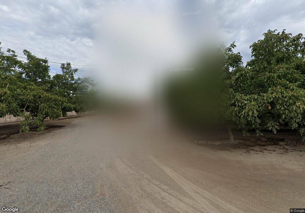
7139 Bacon Rd Modesto, CA 95358
Estimated Value: $680,000 - $2,009,000
3
Beds
2
Baths
1,400
Sq Ft
$882/Sq Ft
Est. Value
About This Home
This home is located at 7139 Bacon Rd, Modesto, CA 95358 and is currently estimated at $1,234,256, approximately $881 per square foot. 7139 Bacon Rd is a home located in Stanislaus County with nearby schools including Dena Boer Elementary School, Salida Middle School - Vella Campus, and Joseph A. Gregori High School.
Ownership History
Date
Name
Owned For
Owner Type
Purchase Details
Closed on
Jun 11, 2019
Sold by
Oosterkamp Tamara J
Bought by
Oosterkamp Bruce
Current Estimated Value
Purchase Details
Closed on
Apr 17, 2019
Sold by
Oosterkamp Gary L and Oosterkamp Kathy L
Bought by
Gary And Kathy Oosterkamp Revocable Living Tr and Oosterkamp
Purchase Details
Closed on
May 13, 2015
Sold by
Larosa Robert E and Larosa La Rosa
Bought by
Dutchman Ag Lands Lp
Create a Home Valuation Report for This Property
The Home Valuation Report is an in-depth analysis detailing your home's value as well as a comparison with similar homes in the area
Purchase History
| Date | Buyer | Sale Price | Title Company |
|---|---|---|---|
| Oosterkamp Bruce | -- | None Available | |
| Gary And Kathy Oosterkamp Revocable Living Tr | -- | None Listed On Document | |
| Oosterkamp Gary L | -- | None Listed On Document | |
| Gp Garybruce | -- | None Available | |
| Oosterkamp Gary L | -- | None Available | |
| Dutchman Ag Lands Lp | $1,050,000 | Old Republic Title Company |
Source: Public Records
Tax History
| Year | Tax Paid | Tax Assessment Tax Assessment Total Assessment is a certain percentage of the fair market value that is determined by local assessors to be the total taxable value of land and additions on the property. | Land | Improvement |
|---|---|---|---|---|
| 2025 | $6,798 | $567,398 | $351,973 | $215,425 |
| 2024 | $6,793 | $568,299 | $357,098 | $211,201 |
| 2023 | $6,986 | $583,250 | $349,022 | $234,228 |
| 2022 | $5,571 | $452,140 | $220,505 | $231,635 |
| 2021 | $5,642 | $458,325 | $212,658 | $245,667 |
| 2020 | $5,329 | $441,874 | $205,489 | $236,385 |
| 2019 | $5,496 | $457,827 | $198,231 | $259,596 |
| 2018 | $5,393 | $450,056 | $173,002 | $277,054 |
| 2017 | $5,338 | $448,117 | $161,033 | $287,084 |
| 2016 | $5,259 | $442,038 | $156,128 | $285,910 |
| 2015 | $3,243 | $307,629 | $157,449 | $150,180 |
| 2014 | $3,181 | $301,604 | $154,365 | $147,239 |
Source: Public Records
Map
Nearby Homes
- 4220 Plemini Ct
- 5509 Pountsmonth Dr
- 5412 Port Alice Way
- 5409 Covert Rd
- 4529 Fallbrook Place
- 5133 Almsbury Dr
- 5304 Countrybrook Ln
- 0 Finney Rd
- 0 Hammett Ct Unit 225062441
- 5100 Kiernan Ave
- 5000 Kiernan Ave
- 4216 Meadow Brook Ln
- 4221 Legacy Ct
- 5209 Bora Ct
- 1080 Zumstein Dr
- 1672 Bailey Dr
- 5201 Bora Ct
- 4736 Carlson Way
- 5101 Vigna Way
- 1191 S Mohler Rd
