Estimated Value: $410,000 - $455,000
4
Beds
2
Baths
1,504
Sq Ft
$289/Sq Ft
Est. Value
About This Home
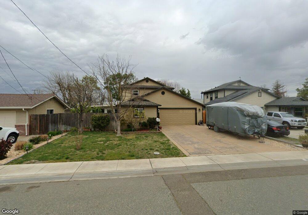
This home is located at 719 Simon St, Galt, CA 95632 and is currently estimated at $434,098, approximately $288 per square foot. 719 Simon St is a home located in Sacramento County with nearby schools including Marengo Ranch Elementary School, Robert L. McCaffrey Middle School, and Galt High School.
Ownership History
Date
Name
Owned For
Owner Type
Purchase Details
Closed on
May 22, 2008
Sold by
Sacramento Habitat For Humanity Inc
Bought by
Sumner Roy and Sumner Laura
Current Estimated Value
Home Financials for this Owner
Home Financials are based on the most recent Mortgage that was taken out on this home.
Original Mortgage
$133,500
Outstanding Balance
$84,501
Interest Rate
5.87%
Mortgage Type
Seller Take Back
Estimated Equity
$349,597
Create a Home Valuation Report for This Property
The Home Valuation Report is an in-depth analysis detailing your home's value as well as a comparison with similar homes in the area
Home Values in the Area
Average Home Value in this Area
Purchase History
| Date | Buyer | Sale Price | Title Company |
|---|---|---|---|
| Sumner Roy | $183,500 | Chicago Title Company |
Source: Public Records
Mortgage History
| Date | Status | Borrower | Loan Amount |
|---|---|---|---|
| Open | Sumner Roy | $133,500 |
Source: Public Records
Tax History
| Year | Tax Paid | Tax Assessment Tax Assessment Total Assessment is a certain percentage of the fair market value that is determined by local assessors to be the total taxable value of land and additions on the property. | Land | Improvement |
|---|---|---|---|---|
| 2025 | $2,940 | $274,315 | $105,072 | $169,243 |
| 2024 | $2,940 | $268,937 | $103,012 | $165,925 |
| 2023 | $2,635 | $241,116 | $100,993 | $140,123 |
| 2022 | $2,528 | $236,389 | $99,013 | $137,376 |
| 2021 | $2,529 | $231,755 | $97,072 | $134,683 |
| 2020 | $2,507 | $229,379 | $96,077 | $133,302 |
| 2019 | $2,360 | $216,059 | $94,194 | $121,865 |
| 2018 | $2,419 | $211,824 | $92,348 | $119,476 |
| 2017 | $2,324 | $207,672 | $90,538 | $117,134 |
| 2016 | $2,234 | $203,601 | $88,763 | $114,838 |
| 2015 | $2,157 | $200,544 | $87,430 | $113,114 |
| 2014 | $2,083 | $190,420 | $83,018 | $107,402 |
Source: Public Records
Map
Nearby Homes
- 219 Lois Ave
- 702 Elm Ave
- 246 Oak Ave
- 150 Spruce Ave
- 695 Spaans Dr
- 10657 Simmerhorn Rd
- 873 Delane Dr
- 604 Pringle Ave Unit 94
- 604 Pringle Ave Unit 1
- 605 Pringle Ave Unit 26
- 515 E St
- 433 5th St
- 240 3rd St
- 83 Sunshine Dr
- 0 B St Unit 226013319
- 820 N Lincoln Way Unit 42
- 820 N Lincoln Way Unit 7
- 461 F St
- 1316 Winterhart St
- 1320 Winterhart St
- 725 Simon St
- 715 Simon St
- 312 N Lincoln Way
- 711 Simon St
- 280 N Lincoln Way
- 315 Mildred Ave
- 318 N Lincoln Way
- 736 Simon St
- 732 Simon St
- 339 Mildred Ave
- 274 N Lincoln Way
- 726 Simon St
- 287 N Lincoln Way
- 707 Simon St
- 311 N Lincoln Way
- 283 N Lincoln Way
- 718 Simon St
- 277 N Lincoln Way
- 314 Mildred Ave
- 268 N Lincoln Way
Your Personal Tour Guide
Ask me questions while you tour the home.