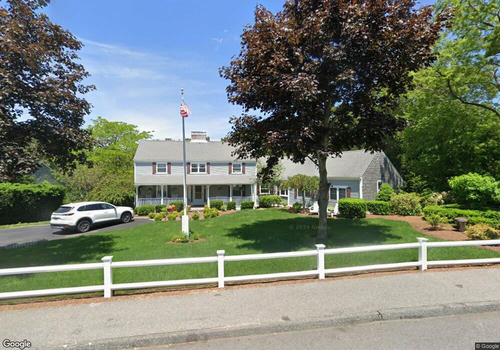
72 Oxford Dr Cotuit, MA 02635
Cotuit NeighborhoodEstimated Value: $1,016,000 - $1,203,000
3
Beds
3
Baths
1,801
Sq Ft
$610/Sq Ft
Est. Value
About This Home
This home is located at 72 Oxford Dr, Cotuit, MA 02635 and is currently estimated at $1,098,331, approximately $609 per square foot. 72 Oxford Dr is a home located in Barnstable County with nearby schools including West Villages Elementary School, Barnstable United Elementary School, and Barnstable Intermediate School.
Ownership History
Date
Name
Owned For
Owner Type
Purchase Details
Closed on
May 2, 2007
Sold by
Rojee John
Bought by
Rojee John M
Current Estimated Value
Purchase Details
Closed on
Oct 10, 2001
Sold by
Tobojka Richard B
Bought by
Rojee John and Rojee Michelle
Home Financials for this Owner
Home Financials are based on the most recent Mortgage that was taken out on this home.
Original Mortgage
$346,500
Interest Rate
6.93%
Mortgage Type
Purchase Money Mortgage
Create a Home Valuation Report for This Property
The Home Valuation Report is an in-depth analysis detailing your home's value as well as a comparison with similar homes in the area
Home Values in the Area
Average Home Value in this Area
Purchase History
| Date | Buyer | Sale Price | Title Company |
|---|---|---|---|
| Rojee John M | -- | -- | |
| Rojee John | $385,000 | -- |
Source: Public Records
Mortgage History
| Date | Status | Borrower | Loan Amount |
|---|---|---|---|
| Previous Owner | Rojee John | $349,000 | |
| Previous Owner | Rojee John | $346,500 | |
| Previous Owner | Rojee John | $124,000 |
Source: Public Records
Tax History
| Year | Tax Paid | Tax Assessment Tax Assessment Total Assessment is a certain percentage of the fair market value that is determined by local assessors to be the total taxable value of land and additions on the property. | Land | Improvement |
|---|---|---|---|---|
| 2025 | $7,491 | $897,100 | $238,600 | $658,500 |
| 2024 | $6,502 | $825,100 | $238,600 | $586,500 |
| 2023 | $6,781 | $810,100 | $216,900 | $593,200 |
| 2022 | $6,791 | $656,800 | $149,200 | $507,600 |
| 2021 | $1,792 | $589,800 | $151,500 | $438,300 |
| 2020 | $6,603 | $563,900 | $151,500 | $412,400 |
| 2019 | $1,902 | $546,300 | $160,700 | $385,600 |
| 2018 | $2,441 | $530,700 | $187,200 | $343,500 |
| 2017 | $1,654 | $491,100 | $187,200 | $303,900 |
| 2016 | $5,598 | $486,400 | $182,500 | $303,900 |
| 2015 | $5,533 | $480,300 | $185,400 | $294,900 |
Source: Public Records
Map
Nearby Homes
- 7 Oxford Dr
- 10 Abbey Gate Rd
- 239 Oxford Dr
- 552 Main St
- 1820 Santuit Newtown Rd
- 226 Dunrobin Rd
- 16 Cedar St
- 181 School St
- 70 Cape Dr Unit 14D
- 70 Cape Dr Unit 15D
- 70 Cape Dr Unit 11D
- 70 Cape Dr Unit 15D
- 70 Cape Dr Unit 11D
- 70 Simons Rd Unit E
- 70 Simons Rd
- 804 Main St
- 925 Main St Unit 3
- 135 Putnam Avenue (Land)
- 916 Main St
- 33 Oyster Place Rd
Your Personal Tour Guide
Ask me questions while you tour the home.