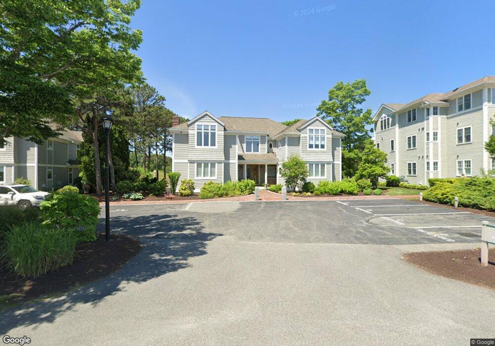
72 Simons Rd Unit B Mashpee, MA 02649
Estimated Value: $616,000 - $836,000
1
Bed
1
Bath
1,127
Sq Ft
$635/Sq Ft
Est. Value
About This Home
This home is located at 72 Simons Rd Unit B, Mashpee, MA 02649 and is currently estimated at $715,628, approximately $634 per square foot. 72 Simons Rd Unit B is a home located in Barnstable County with nearby schools including Kenneth C. Coombs School, Quashnet School, and Mashpee Middle School.
Ownership History
Date
Name
Owned For
Owner Type
Purchase Details
Closed on
Sep 20, 2021
Sold by
Southworth Mashpee Prop
Bought by
Nadler Jeffrey
Current Estimated Value
Home Financials for this Owner
Home Financials are based on the most recent Mortgage that was taken out on this home.
Original Mortgage
$360,000
Outstanding Balance
$327,084
Interest Rate
2.7%
Mortgage Type
Purchase Money Mortgage
Estimated Equity
$388,544
Purchase Details
Closed on
Jun 2, 2015
Sold by
Southworth Mashpee Pro
Bought by
30 Stanford Road Nt
Create a Home Valuation Report for This Property
The Home Valuation Report is an in-depth analysis detailing your home's value as well as a comparison with similar homes in the area
Purchase History
| Date | Buyer | Sale Price | Title Company |
|---|---|---|---|
| Nadler Jeffrey | $450,000 | None Available | |
| 30 Stanford Road Nt | $751,947 | -- |
Source: Public Records
Mortgage History
| Date | Status | Borrower | Loan Amount |
|---|---|---|---|
| Open | Nadler Jeffrey | $360,000 |
Source: Public Records
Tax History
| Year | Tax Paid | Tax Assessment Tax Assessment Total Assessment is a certain percentage of the fair market value that is determined by local assessors to be the total taxable value of land and additions on the property. | Land | Improvement |
|---|---|---|---|---|
| 2025 | $4,091 | $618,000 | $0 | $618,000 |
| 2024 | $3,829 | $595,500 | $0 | $595,500 |
| 2023 | $3,527 | $503,200 | $0 | $503,200 |
| 2022 | $3,471 | $424,800 | $0 | $424,800 |
| 2021 | $3,507 | $386,700 | $0 | $386,700 |
| 2020 | $3,470 | $381,700 | $0 | $381,700 |
| 2019 | $3,322 | $367,100 | $0 | $367,100 |
| 2018 | $3,319 | $372,100 | $0 | $372,100 |
| 2017 | $3,357 | $365,300 | $0 | $365,300 |
| 2016 | $3,094 | $334,800 | $0 | $334,800 |
| 2015 | $2,907 | $319,100 | $0 | $319,100 |
| 2014 | -- | $317,600 | $0 | $317,600 |
Source: Public Records
Map
Nearby Homes
- 70 Simons Rd Unit E
- 70 Simons Rd
- 70 Cape Dr Unit 14D
- 70 Cape Dr Unit 15D
- 70 Cape Dr Unit 11D
- 70 Cape Dr Unit 15D
- 70 Cape Dr Unit 11D
- 6 Willow Cir
- 114 Orchard Rd
- 14 Rainbow Ln
- 195 Falmouth Rd Unit 19F
- 195 Falmouth Rd Unit 9F
- 195 Falmouth Rd Unit 9F
- 195 Falmouth Rd Unit 9D
- 195 Falmouth Rd Unit 19F
- 10 Abbey Gate Rd
- 25 Rainbow Ln
- 7 Oxford Dr
- 34 Rainbow Ln
- 226 Dunrobin Rd
- 62 Simons Rd Unit B
- 46 Simons Rd Unit A
- 46 Simons Rd Unit B
- 72 Simons Rd Unit A
- 70 Simons Rd Unit D
- 70 Simons Rd Unit F
- 72 Simons Rd Unit B & D
- 72 Simons Rd Unit 1
- 62 Simons Rd Unit D
- 46 Simons Rd Unit C
- 9 Matthew Rd Unit B
- 62 Simons Rd Unit A
- 46 Simons Rd Unit D
- 70 Simons Rd Unit C
- 62 Simons Rd Unit C
- 72 Simons Rd Unit D
- 72 Simons Rd Unit C
- 9 Matthew Rd Unit A
- 70 Simons Rd Unit A
- 70 Simons Rd Unit B
Your Personal Tour Guide
Ask me questions while you tour the home.