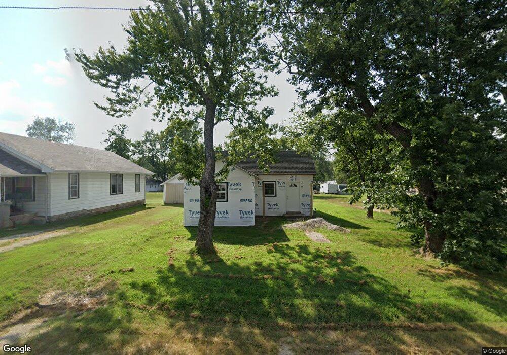
721 Porter Ave Aurora, MO 65605
Estimated Value: $96,937 - $112,000
2
Beds
1
Bath
728
Sq Ft
$147/Sq Ft
Est. Value
About This Home
This home is located at 721 Porter Ave, Aurora, MO 65605 and is currently estimated at $106,734, approximately $146 per square foot. 721 Porter Ave is a home with nearby schools including Pate Early Childhood Center, Robinson Intermediate School, and Robinson Elementary School.
Ownership History
Date
Name
Owned For
Owner Type
Purchase Details
Closed on
Mar 23, 2018
Sold by
Moore William R and Moore Deidre R
Bought by
Chavez Jaime and Chavez Adela
Current Estimated Value
Purchase Details
Closed on
Dec 14, 2017
Sold by
Berry Bennie R and Berry Sue L
Bought by
Moore William R and Moore Deidre R
Home Financials for this Owner
Home Financials are based on the most recent Mortgage that was taken out on this home.
Original Mortgage
$7,000
Interest Rate
3.94%
Mortgage Type
Seller Take Back
Create a Home Valuation Report for This Property
The Home Valuation Report is an in-depth analysis detailing your home's value as well as a comparison with similar homes in the area
Home Values in the Area
Average Home Value in this Area
Purchase History
| Date | Buyer | Sale Price | Title Company |
|---|---|---|---|
| Chavez Jaime | -- | None Available | |
| Moore William R | -- | None Available |
Source: Public Records
Mortgage History
| Date | Status | Borrower | Loan Amount |
|---|---|---|---|
| Previous Owner | Moore William R | $7,000 |
Source: Public Records
Tax History Compared to Growth
Tax History
| Year | Tax Paid | Tax Assessment Tax Assessment Total Assessment is a certain percentage of the fair market value that is determined by local assessors to be the total taxable value of land and additions on the property. | Land | Improvement |
|---|---|---|---|---|
| 2025 | $291 | $5,810 | $1,290 | $4,520 |
| 2024 | $99 | $1,970 | $1,290 | $680 |
| 2023 | $99 | $1,970 | $1,290 | $680 |
| 2022 | $96 | $1,920 | $1,290 | $630 |
| 2021 | $96 | $1,920 | $1,290 | $630 |
| 2020 | $77 | $1,520 | $890 | $630 |
| 2019 | $76 | $1,520 | $890 | $630 |
| 2018 | $76 | $1,520 | $890 | $630 |
| 2017 | $191 | $3,850 | $890 | $2,960 |
| 2016 | -- | $3,570 | $890 | $2,680 |
| 2015 | -- | $3,570 | $890 | $2,680 |
| 2014 | -- | $3,570 | $890 | $2,680 |
Source: Public Records
Map
Nearby Homes
- 720 Porter Ave
- 702 E Highland St
- 506 S Griffith Ave
- 930 Porter Ave
- 922 S Oak Ave
- 1015 Mcphail Ave
- 825 S Park Ave
- 312 S Oak Ave
- 1005 S Park Ave
- 220 S Park Ave
- 1402 E Church St
- 114 E College St
- 216 S Elliott Ave
- 808 E Walnut St
- 116 E Hadley St
- 23 W Anderson St
- 30 W College St
- 000 Crescent St
- 612 E Glendale St
- 000 Lawrence 2210
- 719 Porter Ave
- 727 Porter Ave
- 731 Porter Ave
- 715 Porter Ave
- 722 Porter Ave
- 624 E Highland St
- 718 Porter Ave
- 632 Highland Dr
- 618 E Highland St
- 615 E Saint Louis St
- 801 Porter Ave
- 610 E Highland St
- Parcel 1 Highland St
- 722 S Griffith Ave
- 724 S Griffith Ave
- 704 Highland Dr
- 704 S Griffith Ave
- 704 S Griffith Ave Unit 1307973
- 732 S Griffith Ave
- 545 Porter Ave