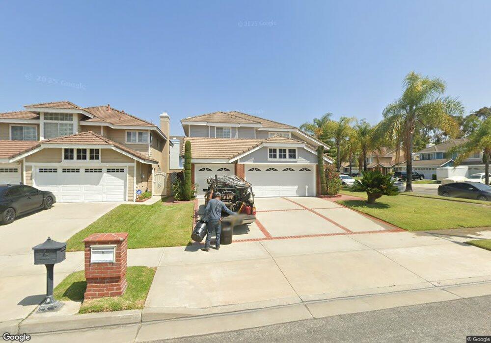
749 Howard Ave Carson, CA 90746
Estimated Value: $1,142,668 - $1,351,000
4
Beds
3
Baths
2,916
Sq Ft
$425/Sq Ft
Est. Value
About This Home
This home is located at 749 Howard Ave, Carson, CA 90746 and is currently estimated at $1,239,917, approximately $425 per square foot. 749 Howard Ave is a home located in Los Angeles County with nearby schools including Ralph Bunche Elementary School, Walton Middle School, and Compton High School.
Ownership History
Date
Name
Owned For
Owner Type
Purchase Details
Closed on
Oct 15, 1996
Sold by
Mcdowell Wilbert and Mcdowell Barbara
Bought by
Mcdowell Wilbert and Mcdowell Barbara J
Current Estimated Value
Purchase Details
Closed on
May 6, 1993
Sold by
Lewis Homes Of California
Bought by
Mcdowell Wilbert and Mcdowell Barbara
Home Financials for this Owner
Home Financials are based on the most recent Mortgage that was taken out on this home.
Original Mortgage
$250,000
Interest Rate
5.62%
Create a Home Valuation Report for This Property
The Home Valuation Report is an in-depth analysis detailing your home's value as well as a comparison with similar homes in the area
Home Values in the Area
Average Home Value in this Area
Purchase History
| Date | Buyer | Sale Price | Title Company |
|---|---|---|---|
| Mcdowell Wilbert | -- | -- | |
| Mcdowell Wilbert | $370,000 | Chicago Title Company |
Source: Public Records
Mortgage History
| Date | Status | Borrower | Loan Amount |
|---|---|---|---|
| Previous Owner | Mcdowell Wilbert | $250,000 |
Source: Public Records
Tax History
| Year | Tax Paid | Tax Assessment Tax Assessment Total Assessment is a certain percentage of the fair market value that is determined by local assessors to be the total taxable value of land and additions on the property. | Land | Improvement |
|---|---|---|---|---|
| 2025 | $6,050 | $628,860 | $147,862 | $480,998 |
| 2024 | $6,050 | $616,530 | $144,963 | $471,567 |
| 2023 | $6,029 | $604,442 | $142,121 | $462,321 |
| 2022 | $5,682 | $592,591 | $139,335 | $453,256 |
| 2021 | $5,783 | $580,972 | $136,603 | $444,369 |
| 2019 | $5,643 | $563,742 | $132,552 | $431,190 |
| 2018 | $5,502 | $552,689 | $129,953 | $422,736 |
| 2016 | $5,241 | $531,229 | $124,907 | $406,322 |
| 2015 | $4,930 | $523,250 | $123,031 | $400,219 |
| 2014 | $4,817 | $513,001 | $120,621 | $392,380 |
Source: Public Records
Map
Nearby Homes
- 19202 Campaign Dr
- 19203 Galway Ave
- 19327 Galway Ave
- 19221 Scobey Ave
- 19603 Enslow Dr
- 19426 Belshaw Ave
- 19717 Alonda Dr
- 879 E Turmont St
- 18325 Mettler Ave
- 994 E Gladwick St
- 900 E Sagebank St
- 17700 Avalon Blvd Unit 387
- 18806 Cairo Ave
- 20019 Belshaw Ave
- 17815 Lysander Dr
- 910 E Meadbrook St
- 966 Apricot Way
- 20241 Galway Ave
- 20222 Belshaw Ave
- 18408 Coltman Ave
- 18821 Pepperdine Dr
- 741 Howard Ave
- 18815 Pepperdine Dr
- 18826 Pepperdine Dr
- 18832 Pepperdine Dr
- 18810 Grambling Place
- 18822 Pepperdine Dr
- 735 Howard Ave
- 750 Howard Ave
- 18836 Pepperdine Dr
- 746 Howard Ave
- 18818 Pepperdine Dr
- 18809 Pepperdine Dr
- 18806 Grambling Place
- 742 Howard Ave
- 18842 Pepperdine Dr
- 18812 Pepperdine Dr
- 18802 Grambling Place
- 738 Howard Ave
- 18848 Pepperdine Dr
Your Personal Tour Guide
Ask me questions while you tour the home.