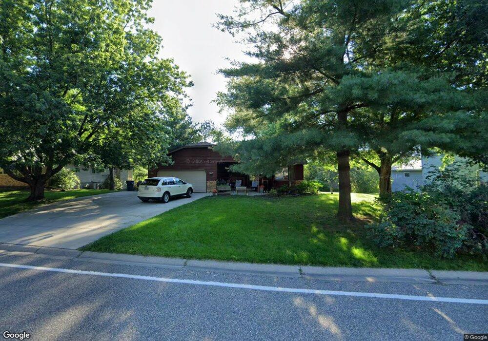
755 Stockdale Rd Saint Paul, MN 55127
Estimated Value: $420,000 - $458,000
4
Beds
2
Baths
723
Sq Ft
$605/Sq Ft
Est. Value
About This Home
This home is located at 755 Stockdale Rd, Saint Paul, MN 55127 and is currently estimated at $437,480, approximately $605 per square foot. 755 Stockdale Rd is a home located in Ramsey County with nearby schools including Vadnais Heights Elementary School, Sunrise Park Middle School, and AFSA High School.
Ownership History
Date
Name
Owned For
Owner Type
Purchase Details
Closed on
Aug 30, 2018
Sold by
Sellner Daniel J and Sellner Joy Michelle
Bought by
Sellner Daniel J and Sellner Joy Michelle
Current Estimated Value
Home Financials for this Owner
Home Financials are based on the most recent Mortgage that was taken out on this home.
Original Mortgage
$191,300
Outstanding Balance
$166,481
Interest Rate
4.5%
Mortgage Type
New Conventional
Estimated Equity
$270,999
Create a Home Valuation Report for This Property
The Home Valuation Report is an in-depth analysis detailing your home's value as well as a comparison with similar homes in the area
Home Values in the Area
Average Home Value in this Area
Purchase History
| Date | Buyer | Sale Price | Title Company |
|---|---|---|---|
| Sellner Daniel J | -- | Land Title Inc |
Source: Public Records
Mortgage History
| Date | Status | Borrower | Loan Amount |
|---|---|---|---|
| Open | Sellner Daniel J | $191,300 |
Source: Public Records
Tax History Compared to Growth
Tax History
| Year | Tax Paid | Tax Assessment Tax Assessment Total Assessment is a certain percentage of the fair market value that is determined by local assessors to be the total taxable value of land and additions on the property. | Land | Improvement |
|---|---|---|---|---|
| 2025 | $5,462 | $458,300 | $111,700 | $346,600 |
| 2023 | $5,462 | $415,300 | $111,700 | $303,600 |
| 2022 | $4,862 | $414,000 | $111,700 | $302,300 |
| 2021 | $4,852 | $356,600 | $111,700 | $244,900 |
| 2020 | $5,296 | $366,700 | $94,600 | $272,100 |
| 2019 | $4,270 | $371,600 | $94,600 | $277,000 |
| 2018 | $4,190 | $324,800 | $94,600 | $230,200 |
| 2017 | $4,024 | $298,500 | $94,600 | $203,900 |
| 2016 | $3,872 | $0 | $0 | $0 |
| 2015 | $4,008 | $254,900 | $86,000 | $168,900 |
| 2014 | $3,760 | $0 | $0 | $0 |
Source: Public Records
Map
Nearby Homes
- 3857 Stockdale Dr
- 3736 Centerville Rd
- 3770 Edgerton St
- 4085 Isaac Ct
- 4087 Isaac Ct
- 3611 Edgerton St
- 1020 Horizon St
- 4136 Thornhill Ln
- 449 Bear Ct
- 421 Oak Creek Ct
- 383 Tessier Cir
- 3693 Oak Creek Dr W
- 4252 Heritage Dr
- 4174 Oakcrest Dr
- 4185 Centerville Rd
- 4232 Bridgewood Terrace
- 731 Berwood Ave
- 3646 Labore Rd
- 963 E Berwood Ave
- 3329 Greenbrier St
- 759 Stockdale Rd
- 749 Stockdale Rd
- 765 Stockdale Rd
- 760 Stockdale Rd
- 760 Stockdale Rd
- 756 756 Stockdale Rd
- 3857 Stockdale Rd
- 752 Stockdale Rd
- 745 Stockdale Rd
- 757 Pennington Place
- 756 Stockdale Rd
- 749 749 Pennington Place
- 749 Pennington Place
- 746 Stockdale Rd
- 3856 Stockdale Dr
- 743 Pennington Place
- 758 Pennington Place
- 750 Pennington Place
- 740 Stockdale Rd
- 746 Pennington Place