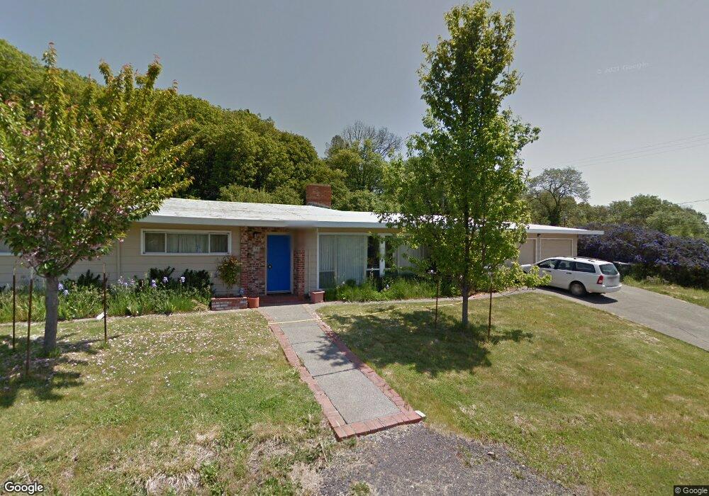
78 Hillside Dr Willits, CA 95490
Estimated Value: $453,879 - $469,000
3
Beds
2
Baths
2,281
Sq Ft
$202/Sq Ft
Est. Value
About This Home
This home is located at 78 Hillside Dr, Willits, CA 95490 and is currently estimated at $460,970, approximately $202 per square foot. 78 Hillside Dr is a home located in Mendocino County with nearby schools including Brookside Elementary School, Blosser Lane Elementary School, and Baechtel Grove Middle School.
Ownership History
Date
Name
Owned For
Owner Type
Purchase Details
Closed on
Jan 13, 2015
Sold by
Willits Methodist Church
Bought by
Norris Michael H and Laib Norris Caroline A
Current Estimated Value
Home Financials for this Owner
Home Financials are based on the most recent Mortgage that was taken out on this home.
Original Mortgage
$170,625
Interest Rate
3.82%
Mortgage Type
New Conventional
Create a Home Valuation Report for This Property
The Home Valuation Report is an in-depth analysis detailing your home's value as well as a comparison with similar homes in the area
Home Values in the Area
Average Home Value in this Area
Purchase History
| Date | Buyer | Sale Price | Title Company |
|---|---|---|---|
| Norris Michael H | $227,500 | First American Title Company |
Source: Public Records
Mortgage History
| Date | Status | Borrower | Loan Amount |
|---|---|---|---|
| Previous Owner | Norris Michael H | $170,625 |
Source: Public Records
Tax History
| Year | Tax Paid | Tax Assessment Tax Assessment Total Assessment is a certain percentage of the fair market value that is determined by local assessors to be the total taxable value of land and additions on the property. | Land | Improvement |
|---|---|---|---|---|
| 2025 | $4,120 | $273,409 | $81,118 | $192,291 |
| 2023 | $4,120 | $262,794 | $77,969 | $184,825 |
| 2022 | $3,848 | $257,642 | $76,441 | $181,201 |
| 2021 | $3,827 | $252,592 | $74,943 | $177,649 |
| 2020 | $3,751 | $250,004 | $74,177 | $175,827 |
| 2019 | $3,748 | $245,104 | $72,723 | $172,381 |
| 2018 | $3,533 | $240,300 | $71,298 | $169,002 |
| 2017 | $3,420 | $235,588 | $69,900 | $165,688 |
| 2016 | $3,349 | $230,969 | $68,529 | $162,440 |
| 2015 | $859 | $73,486 | $8,482 | $65,004 |
| 2014 | $859 | $72,047 | $8,316 | $63,731 |
Source: Public Records
Map
Nearby Homes
- 36 Hillside Dr
- 26600 Sherwood Rd
- 25331 Sherwood Rd
- 25201 Sherwood Rd
- 611 Hawthorne Ln
- 84 School St
- 0 Catherine Ln
- 308 Coast St
- 316 S Main St
- 350 Creekside Dr
- 26400 Sherwood Rd
- 80 Fort Bragg Rd
- 372 S Lenore Ave
- 755 Central Ave
- 0 Poplar Ave Unit 324037613
- 1242 Poplar Ave
- 490 Della Ave
- 454 Della Ave
- 21552 Eva Clair St
- 21441 Pineview Dr
- 68 Hillside Dr
- 84 Hillside Dr
- 62 Hillside Dr
- 69 Hillside Dr
- 56 Hillside Dr
- 24 Northbrook Way
- 61 Hillside Dr
- 18 Northbrook Way
- 320 Bittenbender Ln
- 12 Northbrook Way
- 30 Northbrook Way
- 50 Hillside Dr
- 66 Mill Creek Dr
- 38 Northbrook Way
- 56 Mill Creek Dr
- 55 Hillside Dr
- 72 Mill Creek Dr
- 350 Bittenbender Ln
- 44 Hillside Dr
Your Personal Tour Guide
Ask me questions while you tour the home.