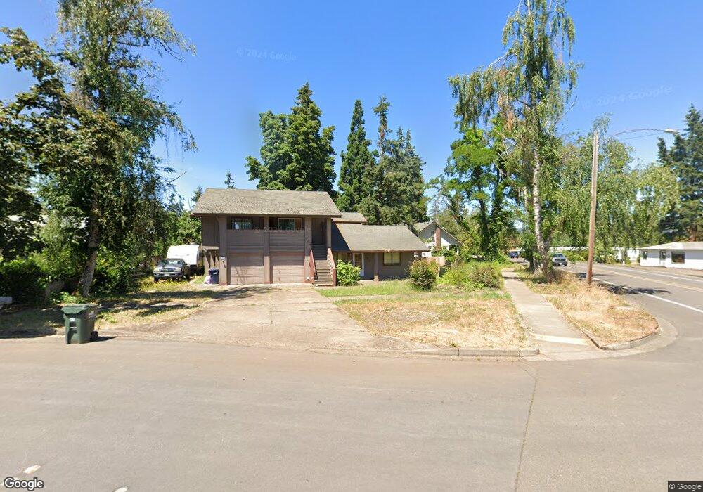
782 71st St Springfield, OR 97478
Thurston NeighborhoodEstimated Value: $480,000 - $528,000
4
Beds
4
Baths
1,841
Sq Ft
$273/Sq Ft
Est. Value
About This Home
This home is located at 782 71st St, Springfield, OR 97478 and is currently estimated at $502,906, approximately $273 per square foot. 782 71st St is a home located in Lane County with nearby schools including Thurston Elementary School, Thurston Middle School, and Thurston High School.
Ownership History
Date
Name
Owned For
Owner Type
Purchase Details
Closed on
May 18, 2005
Sold by
Lewis Richard and Larson Lewis Laurie L
Bought by
Miller Michael P
Current Estimated Value
Home Financials for this Owner
Home Financials are based on the most recent Mortgage that was taken out on this home.
Original Mortgage
$154,200
Interest Rate
5.87%
Mortgage Type
Fannie Mae Freddie Mac
Purchase Details
Closed on
Dec 19, 2002
Sold by
Larson Laurie L and Lewis Richard
Bought by
Lewis Richard and Larson Lewis Laurie L
Home Financials for this Owner
Home Financials are based on the most recent Mortgage that was taken out on this home.
Original Mortgage
$125,000
Interest Rate
6.03%
Create a Home Valuation Report for This Property
The Home Valuation Report is an in-depth analysis detailing your home's value as well as a comparison with similar homes in the area
Home Values in the Area
Average Home Value in this Area
Purchase History
| Date | Buyer | Sale Price | Title Company |
|---|---|---|---|
| Miller Michael P | $205,600 | Western Pioneer Title | |
| Lewis Richard | -- | Evergreen Land Title Co |
Source: Public Records
Mortgage History
| Date | Status | Borrower | Loan Amount |
|---|---|---|---|
| Closed | Miller Michael P | $154,200 | |
| Previous Owner | Lewis Richard | $125,000 |
Source: Public Records
Tax History Compared to Growth
Tax History
| Year | Tax Paid | Tax Assessment Tax Assessment Total Assessment is a certain percentage of the fair market value that is determined by local assessors to be the total taxable value of land and additions on the property. | Land | Improvement |
|---|---|---|---|---|
| 2025 | $4,337 | $236,526 | -- | -- |
| 2024 | $4,267 | $229,637 | -- | -- |
| 2023 | $4,267 | $222,949 | $0 | $0 |
| 2022 | $3,952 | $216,456 | $0 | $0 |
| 2021 | $3,881 | $210,152 | $0 | $0 |
| 2020 | $3,768 | $204,032 | $0 | $0 |
| 2019 | $3,655 | $198,090 | $0 | $0 |
| 2018 | $3,445 | $186,719 | $0 | $0 |
| 2017 | $3,313 | $186,719 | $0 | $0 |
| 2016 | $3,243 | $181,281 | $0 | $0 |
| 2015 | $3,150 | $176,001 | $0 | $0 |
| 2014 | $3,103 | $170,875 | $0 | $0 |
Source: Public Records
Map
Nearby Homes
- 0 Omlid Dr Unit 1 706471345
- 0 Omlid Dr Unit 27 796722689
- 0 Omlid Dr Unit 26 256458253
- 0 Omlid Dr Unit 3 154724851
- 0 Omlid Dr Unit 2 312357104
- 7080 Thurston Rd Unit 2
- 515 70th St
- 0 71st St
- 482 Laksonen Loop
- 6808 Moses Pass
- 353 72nd St
- 289 73rd Place
- 7473 B St
- 250 68th St
- 6964 Bluebelle Way
- 296 65th St
- 6445 B St
- 0 S 67th St Unit 693960327
- 595 S 68th Place
- 0 S 69th Place