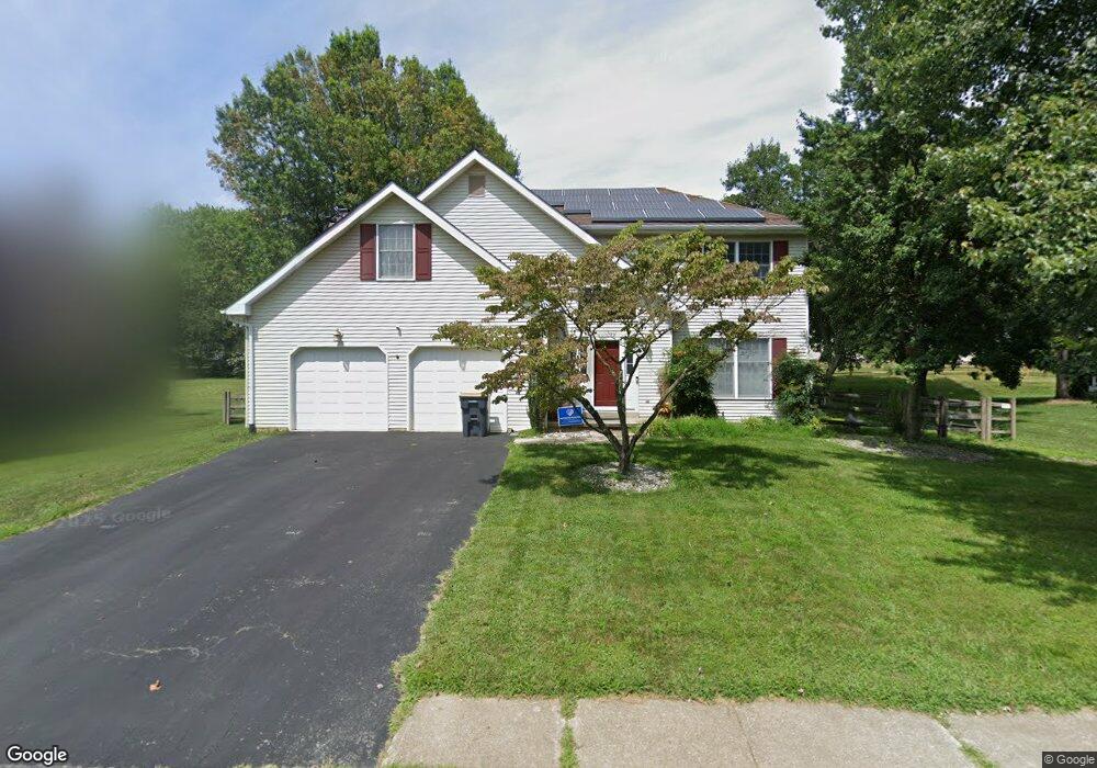
8 Caynor Ct Newark, DE 19711
Estimated Value: $543,000 - $596,000
4
Beds
3
Baths
2,300
Sq Ft
$248/Sq Ft
Est. Value
About This Home
This home is located at 8 Caynor Ct, Newark, DE 19711 and is currently estimated at $570,588, approximately $248 per square foot. 8 Caynor Ct is a home located in New Castle County with nearby schools including R. Elisabeth Maclary Elementary School, Shue-Medill Middle School, and Newark High School.
Ownership History
Date
Name
Owned For
Owner Type
Purchase Details
Closed on
Sep 29, 2010
Sold by
Kalisz Catherine A and Kalisz Revocable T Catherine A
Bought by
Martinenza Brian C and Martinenza Katherine Elizabeth Wolf
Current Estimated Value
Home Financials for this Owner
Home Financials are based on the most recent Mortgage that was taken out on this home.
Original Mortgage
$319,694
Outstanding Balance
$207,391
Interest Rate
4.25%
Mortgage Type
FHA
Estimated Equity
$363,197
Purchase Details
Closed on
Sep 24, 2004
Sold by
Kalisz Catherine A
Bought by
Kalisz Catherine A and Kalisz Revocable T Catherine A
Purchase Details
Closed on
Dec 17, 2001
Sold by
Witkowski Robert P and Witkowski Monica H
Bought by
Kalisz Catherine A
Home Financials for this Owner
Home Financials are based on the most recent Mortgage that was taken out on this home.
Original Mortgage
$194,400
Interest Rate
6.54%
Create a Home Valuation Report for This Property
The Home Valuation Report is an in-depth analysis detailing your home's value as well as a comparison with similar homes in the area
Home Values in the Area
Average Home Value in this Area
Purchase History
| Date | Buyer | Sale Price | Title Company |
|---|---|---|---|
| Martinenza Brian C | $324,000 | None Available | |
| Kalisz Catherine A | -- | -- | |
| Kalisz Catherine A | $243,000 | Ticor Title Insurance |
Source: Public Records
Mortgage History
| Date | Status | Borrower | Loan Amount |
|---|---|---|---|
| Open | Martinenza Brian C | $319,694 | |
| Previous Owner | Kalisz Catherine A | $194,400 |
Source: Public Records
Tax History
| Year | Tax Paid | Tax Assessment Tax Assessment Total Assessment is a certain percentage of the fair market value that is determined by local assessors to be the total taxable value of land and additions on the property. | Land | Improvement |
|---|---|---|---|---|
| 2024 | $4,671 | $106,300 | $15,800 | $90,500 |
| 2023 | $4,549 | $106,300 | $15,800 | $90,500 |
| 2022 | $4,518 | $106,300 | $15,800 | $90,500 |
| 2021 | $4,421 | $106,300 | $15,800 | $90,500 |
| 2020 | $4,299 | $106,300 | $15,800 | $90,500 |
| 2019 | $4,314 | $106,300 | $15,800 | $90,500 |
| 2018 | $3,727 | $106,300 | $15,800 | $90,500 |
| 2017 | $3,600 | $106,300 | $15,800 | $90,500 |
| 2016 | $3,572 | $106,300 | $15,800 | $90,500 |
| 2015 | $3,266 | $106,300 | $15,800 | $90,500 |
| 2014 | $3,268 | $106,300 | $15,800 | $90,500 |
Source: Public Records
Map
Nearby Homes
- 221 Cullen Way
- 211 Cullen Way
- 230 Aronimink Dr
- 108 Lena Dr
- 11 Aronimink Dr
- 11 Saint Regis Dr
- 303 Lynley Ln
- 275 Possum Park Rd
- 208 Capitol Trail
- 305 Poplar Ave
- 14 S Dillwyn Rd
- 27 Laurel Ave
- 113 E Main St Unit 218
- 113 E Main St Unit 311
- 16 Pinedale Rd
- 221 S Dillwyn Rd
- 8 Hearn Place
- 104 Country Club Dr
- 91 Old Red Mill Rd
- 400 Smiths Mill Rd
Your Personal Tour Guide
Ask me questions while you tour the home.