8 Lighthouse Point Rd Meredith, NH 03253
Estimated Value: $1,115,000 - $1,835,000
3
Beds
1
Bath
1,056
Sq Ft
$1,294/Sq Ft
Est. Value
About This Home
This home is located at 8 Lighthouse Point Rd, Meredith, NH 03253 and is currently estimated at $1,366,163, approximately $1,293 per square foot. 8 Lighthouse Point Rd is a home located in Belknap County with nearby schools including Inter-Lakes Elementary School, Sandwich Central School, and Inter-Lakes Middle High School.
Ownership History
Date
Name
Owned For
Owner Type
Purchase Details
Closed on
Sep 30, 2005
Sold by
Dolan Ft
Bought by
Dolan 3Rd George T and Dolan Kathleen M
Current Estimated Value
Home Financials for this Owner
Home Financials are based on the most recent Mortgage that was taken out on this home.
Original Mortgage
$110,000
Interest Rate
5.84%
Mortgage Type
Purchase Money Mortgage
Create a Home Valuation Report for This Property
The Home Valuation Report is an in-depth analysis detailing your home's value as well as a comparison with similar homes in the area
Home Values in the Area
Average Home Value in this Area
Purchase History
| Date | Buyer | Sale Price | Title Company |
|---|---|---|---|
| Dolan 3Rd George T | $150,000 | -- |
Source: Public Records
Mortgage History
| Date | Status | Borrower | Loan Amount |
|---|---|---|---|
| Open | Dolan 3Rd George T | $75,000 | |
| Closed | Dolan 3Rd George T | $110,000 |
Source: Public Records
Tax History
| Year | Tax Paid | Tax Assessment Tax Assessment Total Assessment is a certain percentage of the fair market value that is determined by local assessors to be the total taxable value of land and additions on the property. | Land | Improvement |
|---|---|---|---|---|
| 2024 | $13,059 | $1,272,800 | $1,114,300 | $158,500 |
| 2023 | $12,588 | $1,272,800 | $1,114,300 | $158,500 |
| 2022 | $12,686 | $908,100 | $787,600 | $120,500 |
| 2021 | $12,196 | $908,100 | $787,600 | $120,500 |
| 2020 | $12,674 | $904,000 | $787,600 | $116,400 |
| 2019 | $11,805 | $742,900 | $635,900 | $107,000 |
| 2018 | $11,604 | $742,900 | $635,900 | $107,000 |
| 2016 | $10,442 | $669,800 | $570,800 | $99,000 |
| 2015 | $10,079 | $663,100 | $570,800 | $92,300 |
| 2014 | $9,749 | $657,400 | $570,800 | $86,600 |
| 2013 | $9,473 | $657,400 | $570,800 | $86,600 |
Source: Public Records
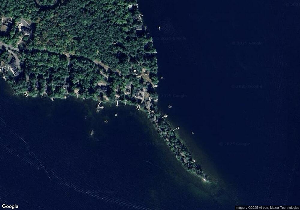
Map
Nearby Homes
- 4 Cummings Cove Rd
- 11 Quimby Rd
- Lot 21 Cummings Cove Rd
- 616 Scenic Rd Unit 404
- 598 Scenic Rd Unit 2
- 37
- 45 Stern Castle Place Unit 32
- 38 Stern Castle Place Unit 30
- 43 Happy Homes Rd
- 44 Centenary Ave
- 6 Windjammer's Ridge
- 175 Akwa Vista
- 63 Commanders Helm
- 34 Deadreckoning Point
- 23 Deadreckoning Point
- 8 Deadreckoning Point
- 126 Soleil Mountain
- 59 Treetop Cir Unit 34
- 148 Akwa Vista
- Lot 12-5 Needle Eye Rd
- 3 Lighthouse Point Rd
- 4 Lighthouse Point Rd
- 10 Lighthouse Point Rd
- 95 Spindle Point Rd
- 36 Observatory Rd
- 93 Spindle Point Rd
- 16 Lighthouse Point Rd
- 34 Observatory Rd
- 91 Spindle Point Rd
- 32 Observatory Rd
- 20 Lighthouse Point Rd
- 30 Observatory Rd
- 87 Spindle Point Rd
- 22 Lighthouse Point Rd
- 85 Spindle Point Rd
- 28 Observatory Rd
- 83 Spindle Point Rd
- 26 Observatory Rd
- 81 Spindle Point Rd
- 24 Observatory Rd
Your Personal Tour Guide
Ask me questions while you tour the home.