8 Portside Dr Mashpee, MA 02649
Estimated Value: $500,498 - $553,000
2
Beds
2
Baths
1,338
Sq Ft
$399/Sq Ft
Est. Value
About This Home
This home is located at 8 Portside Dr, Mashpee, MA 02649 and is currently estimated at $533,375, approximately $398 per square foot. 8 Portside Dr is a home located in Barnstable County with nearby schools including Kenneth C. Coombs School, Quashnet School, and Mashpee Middle School.
Ownership History
Date
Name
Owned For
Owner Type
Purchase Details
Closed on
Nov 20, 2018
Sold by
Jurkowski Sylvia M and Jurkowski Lori A
Bought by
Lori Jurkowski T
Current Estimated Value
Purchase Details
Closed on
Jun 22, 2011
Sold by
Margaret R Murphy Ret
Bought by
Murphy William F
Purchase Details
Closed on
Jul 10, 2008
Sold by
Murphy Margaret R
Bought by
Margaret R Murphy Ret
Purchase Details
Closed on
May 29, 2008
Sold by
New Boston Fund Iv Inc
Bought by
Murphy Margaret R
Create a Home Valuation Report for This Property
The Home Valuation Report is an in-depth analysis detailing your home's value as well as a comparison with similar homes in the area
Purchase History
| Date | Buyer | Sale Price | Title Company |
|---|---|---|---|
| Lori Jurkowski T | -- | -- | |
| Murphy William F | -- | -- | |
| Margaret R Murphy Ret | -- | -- | |
| Margaret R Murphy Ret | -- | -- | |
| Murphy Margaret R | $344,400 | -- | |
| Murphy Margaret R | $344,400 | -- |
Source: Public Records
Tax History
| Year | Tax Paid | Tax Assessment Tax Assessment Total Assessment is a certain percentage of the fair market value that is determined by local assessors to be the total taxable value of land and additions on the property. | Land | Improvement |
|---|---|---|---|---|
| 2025 | $3,351 | $506,200 | $0 | $506,200 |
| 2024 | $3,198 | $497,300 | $0 | $497,300 |
| 2023 | $3,124 | $445,600 | $0 | $445,600 |
| 2022 | $3,080 | $377,000 | $0 | $377,000 |
| 2021 | $3,228 | $355,900 | $0 | $355,900 |
| 2020 | $3,191 | $351,000 | $0 | $351,000 |
| 2019 | $3,057 | $337,800 | $0 | $337,800 |
| 2018 | $2,848 | $319,300 | $0 | $319,300 |
| 2017 | $2,880 | $313,400 | $0 | $313,400 |
| 2016 | $2,786 | $301,500 | $0 | $301,500 |
| 2015 | $2,370 | $260,100 | $0 | $260,100 |
| 2014 | $2,286 | $243,400 | $0 | $243,400 |
Source: Public Records
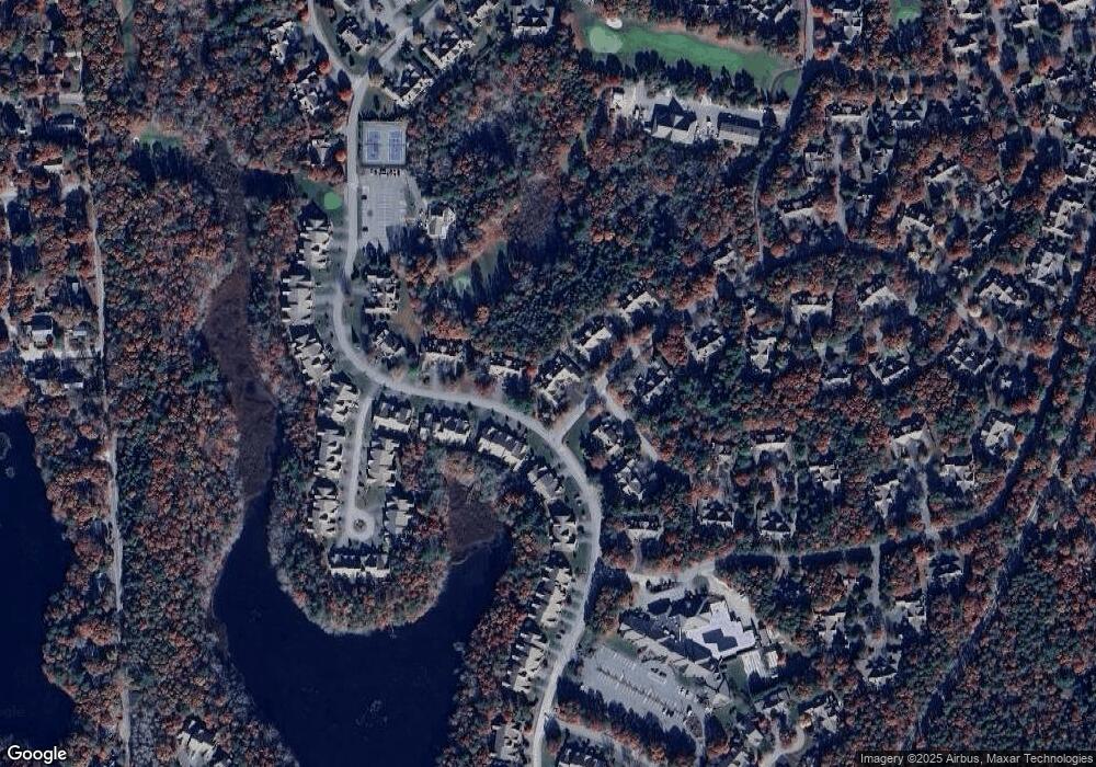
Map
Nearby Homes
- 153 Leisure Green Dr
- 153 Leisure Green Dr Unit 749
- 1 Upland Cir
- 1 Upland Cir Unit 1
- 10 Kettle Ln
- 12 Kettle Ln
- 15 Pebble Beach Ave Unit 2005-103
- 15 Pebble Beach Ave
- 50 Pine Hill Blvd Unit 46
- 50 Pine Hill Blvd
- 6 Masters Ct
- 23 Sea Spray Ave Unit 563
- 23 Sea Spray Ave
- 160 Algonquin Ave
- 18 Windward St Unit 18
- 16 Grey Hawk Dr Unit 16
- 44 Twin Oaks Dr Unit 44
- 44 Twin Oaks Dr
- 18 Executive Dr Unit 18
- 4 N Ridge Rd
- 4 Portside Dr Unit 158
- 2 Portside Dr
- 4 Portside Dr
- 6 Portside Dr
- 4 Portside Dr Unit 4
- 8 Portside Dr Unit 156
- 111 Leisure Green Dr Unit 161
- 113 Leisure Green Dr Unit 162
- 113 Leisure Green Dr
- 111 Leisure Green Dr
- 109 Leisure Green Dr
- 113 Leisure Green Dr Unit 162
- 111 Leisure Green Dr Unit 161
- 109 Leisure Green Dr Unit 160
- 10 Portside Dr
- 12 Portside Dr
- 14 Portside Dr
- 16 Portside Dr
- 16 Portside Dr Unit 123
- 100 Leisure Green Dr Unit 537
Your Personal Tour Guide
Ask me questions while you tour the home.