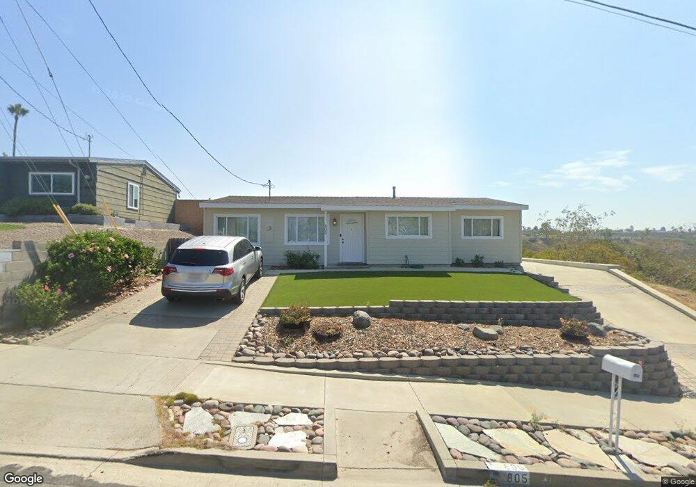
805 Capistrano Dr Oceanside, CA 92058
East Side Capistrano NeighborhoodEstimated Value: $659,000 - $886,000
4
Beds
3
Baths
1,642
Sq Ft
$502/Sq Ft
Est. Value
About This Home
This home is located at 805 Capistrano Dr, Oceanside, CA 92058 and is currently estimated at $823,573, approximately $501 per square foot. 805 Capistrano Dr is a home located in San Diego County with nearby schools including Oceanside High School and St. Mary Star Of The Sea Elementary School.
Ownership History
Date
Name
Owned For
Owner Type
Purchase Details
Closed on
Dec 27, 1993
Sold by
Gordon Ronald and Gordon Dianne D
Bought by
Angus Brett E and Angus Masami S
Current Estimated Value
Home Financials for this Owner
Home Financials are based on the most recent Mortgage that was taken out on this home.
Original Mortgage
$120,360
Interest Rate
7.16%
Mortgage Type
VA
Create a Home Valuation Report for This Property
The Home Valuation Report is an in-depth analysis detailing your home's value as well as a comparison with similar homes in the area
Home Values in the Area
Average Home Value in this Area
Purchase History
| Date | Buyer | Sale Price | Title Company |
|---|---|---|---|
| Angus Brett E | $118,000 | First American Title Co |
Source: Public Records
Mortgage History
| Date | Status | Borrower | Loan Amount |
|---|---|---|---|
| Closed | Angus Brett E | $120,360 |
Source: Public Records
Tax History Compared to Growth
Tax History
| Year | Tax Paid | Tax Assessment Tax Assessment Total Assessment is a certain percentage of the fair market value that is determined by local assessors to be the total taxable value of land and additions on the property. | Land | Improvement |
|---|---|---|---|---|
| 2025 | $351 | $200,527 | $44,943 | $155,584 |
| 2024 | $351 | $196,596 | $44,062 | $152,534 |
| 2023 | $399 | $192,743 | $43,199 | $149,544 |
| 2022 | $481 | $188,964 | $42,352 | $146,612 |
| 2021 | $478 | $185,260 | $41,522 | $143,738 |
| 2020 | $495 | $183,362 | $41,097 | $142,265 |
| 2019 | $493 | $179,768 | $40,292 | $139,476 |
| 2018 | $510 | $176,244 | $39,502 | $136,742 |
| 2017 | $515 | $172,789 | $38,728 | $134,061 |
| 2016 | $506 | $169,402 | $37,969 | $131,433 |
| 2015 | $484 | $166,858 | $37,399 | $129,459 |
| 2014 | $457 | $163,591 | $36,667 | $126,924 |
Source: Public Records
Map
Nearby Homes
- 0 Capistrano Dr
- 405 Ribbon Beach Way Unit 249
- 430 Stoney Point Way Unit 129
- 445 Ribbon Beach Way Unit 278
- 1200 Harbor Dr N Unit 16B
- 1200 Harbor Dr N Unit 15B
- 1200 Harbor Dr N Unit 9A
- 1200 N Harbor Dr
- 415 Stoney Point Way Unit 106
- 1019 Costa Pacifica Way Unit 1210
- 1019 Costa Pacifica Way Unit 1111
- 1330 Bush St
- 421 N Weitzel St
- 900 N Cleveland St Unit 103
- 900 N Cleveland St Unit 33
- 612 N Freeman St
- 515 N Nevada St
- 0 Poplar Rd
- 806 N Cleveland St Unit 1
- 505 N Freeman St Unit 202
- 807 Capistrano Dr
- 809 Capistrano Dr
- 1523 San Jose St
- 811 Capistrano Dr
- 1528 San Jose St
- 1526 San Jose St Unit 28
- 804 Capistrano Dr
- 1519 San Jose St Unit 1519
- 1519 San Jose St
- 1519 San Jose St Unit 21
- 802 Capistrano Dr
- 813 Capistrano Dr
- 1515 San Jose St Unit 17
- 1522 San Jose St Unit 24
- 1521 San Mateo St Unit 23
- 815 Capistrano Dr
- 1517 San Mateo St Unit 19
- 1518 San Jose St Unit 20
- 1518-20 San Jose St
- 1513 San Jose St