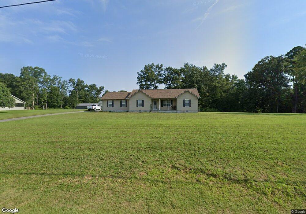
828 Buffalo Trail Clarkrange, TN 38553
Estimated Value: $272,021 - $294,000
3
Beds
2
Baths
1,360
Sq Ft
$208/Sq Ft
Est. Value
About This Home
This home is located at 828 Buffalo Trail, Clarkrange, TN 38553 and is currently estimated at $283,255, approximately $208 per square foot. 828 Buffalo Trail is a home located in Fentress County.
Ownership History
Date
Name
Owned For
Owner Type
Purchase Details
Closed on
Jul 21, 2011
Sold by
Phillips Carl Wayne
Bought by
Evans Joshua M and Evans Heather M
Current Estimated Value
Home Financials for this Owner
Home Financials are based on the most recent Mortgage that was taken out on this home.
Original Mortgage
$122,500
Outstanding Balance
$84,012
Interest Rate
4.52%
Mortgage Type
Commercial
Estimated Equity
$199,243
Purchase Details
Closed on
Jan 13, 2010
Sold by
Phillips Steve
Bought by
Phillips Carl Wayne
Create a Home Valuation Report for This Property
The Home Valuation Report is an in-depth analysis detailing your home's value as well as a comparison with similar homes in the area
Purchase History
| Date | Buyer | Sale Price | Title Company |
|---|---|---|---|
| Evans Joshua M | $122,500 | -- | |
| Phillips Carl Wayne | -- | -- |
Source: Public Records
Mortgage History
| Date | Status | Borrower | Loan Amount |
|---|---|---|---|
| Open | Evans Joshua M | $122,500 |
Source: Public Records
Tax History
| Year | Tax Paid | Tax Assessment Tax Assessment Total Assessment is a certain percentage of the fair market value that is determined by local assessors to be the total taxable value of land and additions on the property. | Land | Improvement |
|---|---|---|---|---|
| 2025 | $703 | $52,100 | $4,100 | $48,000 |
| 2024 | $703 | $52,100 | $4,100 | $48,000 |
| 2023 | $703 | $52,100 | $4,100 | $48,000 |
| 2022 | $599 | $31,350 | $2,950 | $28,400 |
| 2021 | $599 | $31,350 | $2,950 | $28,400 |
| 2020 | $599 | $31,350 | $2,950 | $28,400 |
| 2019 | $599 | $31,350 | $2,950 | $28,400 |
| 2018 | $599 | $31,350 | $2,950 | $28,400 |
| 2017 | $599 | $30,175 | $2,950 | $27,225 |
| 2016 | $599 | $30,175 | $2,950 | $27,225 |
| 2015 | $598 | $30,160 | $0 | $0 |
| 2014 | $598 | $30,160 | $0 | $0 |
Source: Public Records
Map
Nearby Homes
- 6006 S York Hwy
- 1070 N Shady Lane Loop
- 5740 S York Hwy
- 5715 S York Highway 127 Hwy
- 145 Rhum Rd
- 6105 S York Hwy
- 6105 S South York Hwy
- 1011 Fox Ridge Dr
- 5651 S York Hwy
- 1079 South Ln
- 106 MacA Ridge Cir
- 634 Robs Rd
- 338 Swallows Crossing
- 5550 S York Hwy
- 164 Green Acres
- 5534 S York Hwy
- 5521 S York Hwy
- 5521 S York Highway 5521 Hwy
- 1165 Hargis Rd
- 1174 Hargis Rd
- 0 Buffalo Unit 605932
- 0 Buffalo Unit 632815
- 0 Buffalo Unit 640158
- 0 Buffalo Unit 646562
- 0 Buffalo Unit 670051
- 0 Buffalo Unit 670983
- 0 Buffalo Unit 684780
- 0 Buffalo Unit 689911
- 0 Buffalo Unit 829449
- 822 Buffalo Trail
- 833 Buffalo Trail
- 821 Buffalo Trail
- 831 Kilby Rd
- 844 Buffalo Trail
- 816 Buffalo Trail
- 844 Buffalo Tr
- 817 Kilby Rd
- 815 Buffalo Trail
- 841 Buffalo Trail
- 850 Buffalo Trail
Your Personal Tour Guide
Ask me questions while you tour the home.