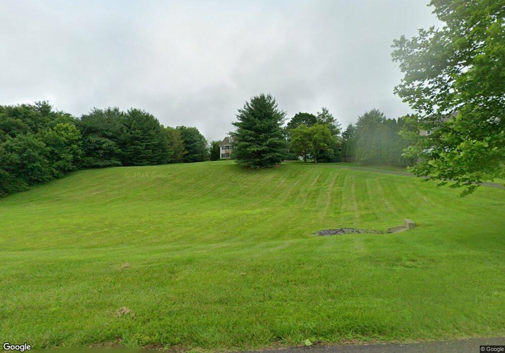
829 Macclesfield Rd Furlong, PA 18925
Estimated Value: $1,361,849 - $1,366,000
4
Beds
4
Baths
5,084
Sq Ft
$268/Sq Ft
Est. Value
About This Home
This home is located at 829 Macclesfield Rd, Furlong, PA 18925 and is currently estimated at $1,363,283, approximately $268 per square foot. 829 Macclesfield Rd is a home located in Bucks County with nearby schools including Bridge Valley Elementary School, Holicong Middle School, and Central Bucks High School - East.
Ownership History
Date
Name
Owned For
Owner Type
Purchase Details
Closed on
Jan 31, 2000
Sold by
Pisani & Kiriakidi Inc
Bought by
Stuardi Lawrence J and Stuardi Kathleen N
Current Estimated Value
Home Financials for this Owner
Home Financials are based on the most recent Mortgage that was taken out on this home.
Original Mortgage
$400,000
Outstanding Balance
$130,490
Interest Rate
7.98%
Estimated Equity
$1,232,793
Create a Home Valuation Report for This Property
The Home Valuation Report is an in-depth analysis detailing your home's value as well as a comparison with similar homes in the area
Home Values in the Area
Average Home Value in this Area
Purchase History
| Date | Buyer | Sale Price | Title Company |
|---|---|---|---|
| Stuardi Lawrence J | $559,900 | -- |
Source: Public Records
Mortgage History
| Date | Status | Borrower | Loan Amount |
|---|---|---|---|
| Open | Stuardi Lawrence J | $400,000 |
Source: Public Records
Tax History Compared to Growth
Tax History
| Year | Tax Paid | Tax Assessment Tax Assessment Total Assessment is a certain percentage of the fair market value that is determined by local assessors to be the total taxable value of land and additions on the property. | Land | Improvement |
|---|---|---|---|---|
| 2025 | $14,477 | $88,920 | $13,600 | $75,320 |
| 2024 | $14,477 | $88,920 | $13,600 | $75,320 |
| 2023 | $13,986 | $88,920 | $13,600 | $75,320 |
| 2022 | $13,819 | $88,920 | $13,600 | $75,320 |
| 2021 | $13,654 | $88,920 | $13,600 | $75,320 |
| 2020 | $13,654 | $88,920 | $13,600 | $75,320 |
| 2019 | $13,565 | $88,920 | $13,600 | $75,320 |
| 2018 | $13,565 | $88,920 | $13,600 | $75,320 |
| 2017 | $13,454 | $88,920 | $13,600 | $75,320 |
| 2016 | $13,587 | $88,920 | $13,600 | $75,320 |
| 2015 | -- | $103,280 | $13,600 | $89,680 |
| 2014 | -- | $103,280 | $13,600 | $89,680 |
Source: Public Records
Map
Nearby Homes
- 1515 Sugar Bottom Rd
- 2417 April Dr
- 1390 Old Jacksonville Rd
- 1408 Old Jacksonville Rd
- 31 Aspen Dr
- 1530 Spruce Ct
- 1501 Deborah Ct Unit 2102
- 941 Penns Park
- 1416 Angela Ct Unit 1004
- 108 Eagle Ct Unit 105
- 1000 Old Jacksonville Rd
- Homesite 11003 Marquis Ln
- 6 Breckenridge Dr
- Homesite 10903 Marquis Ln
- 3014 Marquis Ln
- Homesite 11001 Marquis Ln
- 3020 Marquis Ln
- 1536 Park Dr
- 5011 Quartermaster Ln
- 5005 Quartermaster Ln
- 825 Macclesfield Rd
- 869 Macclesfield Rd
- 945 Camelot Rd
- 865 Macclesfield Rd
- 815 Macclesfield Rd
- 830 Macclesfield Rd
- 840 Macclesfield Rd
- 850 Macclesfield Rd
- 820 Macclesfield Rd
- 883 Macclesfield Rd
- 860 Macclesfield Rd
- 870 Macclesfield Rd
- 880 Macclesfield Rd
- 951 Camelot Rd
- 890 Macclesfield Rd
- 950 Camelot Rd
- 961 Camelot Rd
- 937 Macclesfield Rd
- 894 Macclesfield Rd
- 960 Camelot Rd