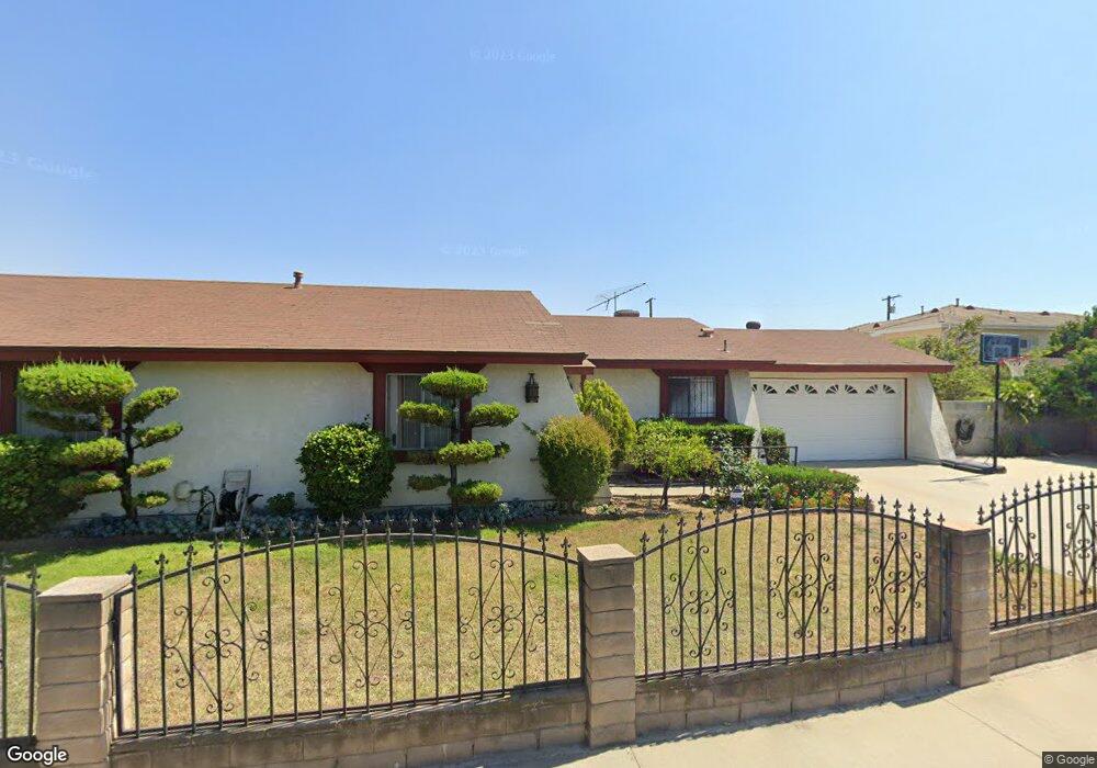
8778 Nevada Ave Rosemead, CA 91770
Estimated Value: $820,000 - $964,150
4
Beds
2
Baths
1,600
Sq Ft
$555/Sq Ft
Est. Value
About This Home
This home is located at 8778 Nevada Ave, Rosemead, CA 91770 and is currently estimated at $887,538, approximately $554 per square foot. 8778 Nevada Ave is a home located in Los Angeles County with nearby schools including Mildred B. Janson Elementary School, Muscatel Middle School, and Rosemead High School.
Ownership History
Date
Name
Owned For
Owner Type
Purchase Details
Closed on
Aug 15, 2016
Sold by
Law Wun Fung
Bought by
Law Tsz Lan
Current Estimated Value
Purchase Details
Closed on
Dec 8, 2003
Sold by
Law Wun Fung and Lam Yuk Wah
Bought by
Law Wun Fung and Law Tsz Lan
Home Financials for this Owner
Home Financials are based on the most recent Mortgage that was taken out on this home.
Original Mortgage
$160,000
Interest Rate
5.97%
Mortgage Type
Purchase Money Mortgage
Create a Home Valuation Report for This Property
The Home Valuation Report is an in-depth analysis detailing your home's value as well as a comparison with similar homes in the area
Home Values in the Area
Average Home Value in this Area
Purchase History
| Date | Buyer | Sale Price | Title Company |
|---|---|---|---|
| Law Tsz Lan | -- | None Available | |
| Law Wun Fung | -- | Southland Title |
Source: Public Records
Mortgage History
| Date | Status | Borrower | Loan Amount |
|---|---|---|---|
| Previous Owner | Law Wun Fung | $160,000 |
Source: Public Records
Tax History
| Year | Tax Paid | Tax Assessment Tax Assessment Total Assessment is a certain percentage of the fair market value that is determined by local assessors to be the total taxable value of land and additions on the property. | Land | Improvement |
|---|---|---|---|---|
| 2025 | $5,475 | $429,672 | $261,167 | $168,505 |
| 2024 | $5,475 | $421,248 | $256,047 | $165,201 |
| 2023 | $5,498 | $412,989 | $251,027 | $161,962 |
| 2022 | $5,310 | $404,892 | $246,105 | $158,787 |
| 2021 | $5,248 | $396,954 | $241,280 | $155,674 |
| 2020 | $5,140 | $392,884 | $238,806 | $154,078 |
| 2019 | $5,164 | $385,181 | $234,124 | $151,057 |
| 2018 | $4,932 | $377,630 | $229,534 | $148,096 |
| 2016 | $4,690 | $362,969 | $220,622 | $142,347 |
| 2015 | $4,612 | $357,518 | $217,309 | $140,209 |
| 2014 | $4,511 | $350,516 | $213,053 | $137,463 |
Source: Public Records
Map
Nearby Homes
- 4167 Walnut Grove Ave Unit 9
- 9043 De Adalena St
- 3453 Ivar Ave
- 3613 Delta Ave
- 9266 Valley Blvd
- 888 Olney St
- 809 E Marshall St
- 3604 Linda Lee Ave
- 4607 Earle Ave
- 1717 S San Gabriel Blvd
- 4550 Delta Ave
- 3246 Muscatel Ave
- 3416 Twin Ave
- 4846 Muscatel Ave
- 3259 Sullivan Ave
- 3135 Bartlett Ave
- 1639 Walnut St
- 608 E Chestnut Ave
- 4917 Encinita Ave
- 930 S Charlotte Ave
- 8788 Nevada Ave
- 8757 Guess St
- 8766 Nevada Ave
- 8777 Nevada Ave
- 8787 Nevada Ave
- 3917 Muscatel Ave
- 8750 Nevada Ave
- 8765 Nevada Ave
- 8761 Guess St
- 8752 Steele St
- 3921 Muscatel Ave
- 8741 Guess St
- 3907 Muscatel Ave
- 3939 Muscatel Ave
- 8750 Steele St
- 8795 Nevada Ave
- 8754 Steele St
- 8740 Steele St
- 8735 Guess St
- 8760 Guess St
Your Personal Tour Guide
Ask me questions while you tour the home.