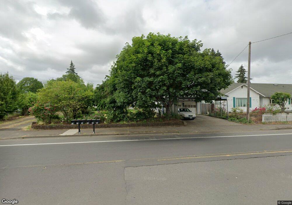
88 Maxwell Rd Eugene, OR 97404
River Road NeighborhoodEstimated Value: $427,000 - $521,497
3
Beds
2
Baths
1,680
Sq Ft
$286/Sq Ft
Est. Value
About This Home
This home is located at 88 Maxwell Rd, Eugene, OR 97404 and is currently estimated at $480,374, approximately $285 per square foot. 88 Maxwell Rd is a home located in Lane County with nearby schools including Howard Elementary School, Kelly Middle School, and North Eugene High School.
Ownership History
Date
Name
Owned For
Owner Type
Purchase Details
Closed on
Mar 16, 2012
Sold by
Murphy Charles W and Murphy Mary S
Bought by
Murphy Mary S
Current Estimated Value
Home Financials for this Owner
Home Financials are based on the most recent Mortgage that was taken out on this home.
Original Mortgage
$108,000
Interest Rate
3.84%
Mortgage Type
New Conventional
Purchase Details
Closed on
Sep 12, 2001
Sold by
Murphy Charles W
Bought by
Murphy Charles W and Murphy Mary S
Create a Home Valuation Report for This Property
The Home Valuation Report is an in-depth analysis detailing your home's value as well as a comparison with similar homes in the area
Home Values in the Area
Average Home Value in this Area
Purchase History
| Date | Buyer | Sale Price | Title Company |
|---|---|---|---|
| Murphy Mary S | -- | Fidelity Natl Title Co Of Or | |
| Murphy Charles W | -- | -- |
Source: Public Records
Mortgage History
| Date | Status | Borrower | Loan Amount |
|---|---|---|---|
| Closed | Murphy Mary S | $108,000 |
Source: Public Records
Tax History
| Year | Tax Paid | Tax Assessment Tax Assessment Total Assessment is a certain percentage of the fair market value that is determined by local assessors to be the total taxable value of land and additions on the property. | Land | Improvement |
|---|---|---|---|---|
| 2025 | $4,182 | $248,928 | -- | -- |
| 2024 | $4,137 | $241,678 | -- | -- |
| 2023 | $4,137 | $234,639 | $0 | $0 |
| 2022 | $3,890 | $227,805 | $0 | $0 |
| 2021 | $3,618 | $221,170 | $0 | $0 |
| 2020 | $3,644 | $214,729 | $0 | $0 |
| 2019 | $3,515 | $208,475 | $0 | $0 |
| 2018 | $3,279 | $196,508 | $0 | $0 |
| 2017 | $3,135 | $196,508 | $0 | $0 |
| 2016 | $2,993 | $190,784 | $0 | $0 |
| 2015 | $2,851 | $185,227 | $0 | $0 |
| 2014 | $2,853 | $179,832 | $0 | $0 |
Source: Public Records
Map
Nearby Homes
- 1487 Barton St
- 154 Norman Ave
- 1483 Barton St
- 172 Norman Ave
- 1420 Evergreen Dr
- 389 Maxwell Rd
- 315 Heritage Ave
- 1880 Manihi Dr
- 1360 Andersen Ln
- 260 Greenleaf Ave
- 1314 Dalton Dr
- 2874 Riverwalk Loop
- 401 Sterling Dr
- 1010 Horn Ln
- 1566 Maywood Ave
- 2709 Riverwalk Loop
- 1682 Hemlock St
- 2439 Quince St
- 1755 Brentwood Ave
- 501 Division Ave Unit 11
- 1693 Evergreen Dr
- 70 Maxwell Rd
- 1685 Evergreen Dr
- 98 Maxwell Rd
- 1671 Evergreen Dr
- 1690 River Rd
- 1680 River Rd
- 65 Maxwell Rd
- 1682 Evergreen Dr
- 134 Maxwell Rd
- 85 Maxwell Rd
- 99 Maxwell Rd
- 75 Rosewood Ave
- 1702 River Rd
- 1674 Evergreen Dr
- 115 Maxwell Rd
- 115 Rosewood Ave
- 1670 River Rd
- 147 Rosewood Ave
- 1660 River Rd
Your Personal Tour Guide
Ask me questions while you tour the home.