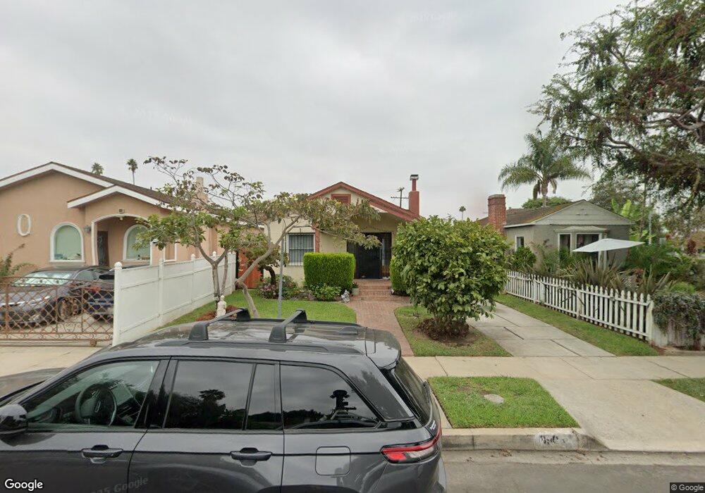
8905 Hargis St Los Angeles, CA 90034
Mid-City NeighborhoodEstimated Value: $1,176,000 - $1,359,117
3
Beds
2
Baths
1,152
Sq Ft
$1,121/Sq Ft
Est. Value
About This Home
This home is located at 8905 Hargis St, Los Angeles, CA 90034 and is currently estimated at $1,291,779, approximately $1,121 per square foot. 8905 Hargis St is a home located in Los Angeles County with nearby schools including Mark Twain Middle School, Alexander Hamilton Senior High School, and Echo Horizon School.
Ownership History
Date
Name
Owned For
Owner Type
Purchase Details
Closed on
Oct 21, 1996
Sold by
Gutierrez Jose M
Bought by
Gutiererez Jose Manuel and Gutierrez Maria Delrocio
Current Estimated Value
Purchase Details
Closed on
Nov 17, 1993
Sold by
Fidelity Federal Bank Fsb
Bought by
Gutierrez Jose M
Home Financials for this Owner
Home Financials are based on the most recent Mortgage that was taken out on this home.
Original Mortgage
$148,000
Interest Rate
7.38%
Create a Home Valuation Report for This Property
The Home Valuation Report is an in-depth analysis detailing your home's value as well as a comparison with similar homes in the area
Home Values in the Area
Average Home Value in this Area
Purchase History
| Date | Buyer | Sale Price | Title Company |
|---|---|---|---|
| Gutiererez Jose Manuel | -- | -- | |
| Gutierrez Jose M | $185,000 | -- |
Source: Public Records
Mortgage History
| Date | Status | Borrower | Loan Amount |
|---|---|---|---|
| Previous Owner | Gutierrez Jose M | $148,000 |
Source: Public Records
Tax History Compared to Growth
Tax History
| Year | Tax Paid | Tax Assessment Tax Assessment Total Assessment is a certain percentage of the fair market value that is determined by local assessors to be the total taxable value of land and additions on the property. | Land | Improvement |
|---|---|---|---|---|
| 2025 | $3,893 | $314,411 | $240,323 | $74,088 |
| 2024 | $3,893 | $308,247 | $235,611 | $72,636 |
| 2023 | $3,823 | $302,204 | $230,992 | $71,212 |
| 2022 | $3,654 | $296,279 | $226,463 | $69,816 |
| 2021 | $3,602 | $290,471 | $222,023 | $68,448 |
| 2019 | $3,496 | $281,858 | $215,439 | $66,419 |
| 2018 | $3,411 | $276,332 | $211,215 | $65,117 |
| 2016 | $3,254 | $265,604 | $203,014 | $62,590 |
| 2015 | $3,207 | $261,615 | $199,965 | $61,650 |
| 2014 | $3,226 | $256,491 | $196,048 | $60,443 |
Source: Public Records
Map
Nearby Homes
- 2807 S Bedford St
- 2847 S Robertson Blvd
- 8954 Kramerwood Place
- 2502 S Robertson Blvd
- 2630 S Halm Ave
- 8741 Cattaraugus Ave Unit 2
- 3107 S Dakota Dr
- 8953 W 24th St
- 2431 S Holt Ave
- 3115 Curts Ave
- 8639 Hervey St
- 2637 S Garth Ave
- 8809 David Ave
- 3007 S Canfield Ave
- 2411 S Canfield Ave
- 2624 S Garth Ave
- 2614 S Garth Ave
- 3125 S Durango Ave
- 2011 S Shenandoah St
- 3257 Cattaraugus Ave