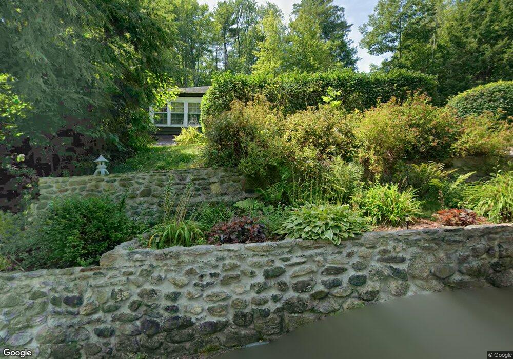
9 King St Royalston, MA 01368
Estimated Value: $208,000 - $315,000
2
Beds
1
Bath
1,188
Sq Ft
$220/Sq Ft
Est. Value
About This Home
This home is located at 9 King St, Royalston, MA 01368 and is currently estimated at $261,620, approximately $220 per square foot. 9 King St is a home located in Worcester County with nearby schools including Athol High School and The Village School.
Ownership History
Date
Name
Owned For
Owner Type
Purchase Details
Closed on
Feb 7, 2003
Sold by
Department Of Housing & Urban Dev
Bought by
Harding Nathaniel B
Current Estimated Value
Purchase Details
Closed on
Oct 23, 2001
Sold by
Leger Robert S
Bought by
Washington Mutual Home
Purchase Details
Closed on
Mar 10, 1999
Sold by
White Scott F and White Terri Ann
Bought by
Leger Robert S and Gravel Donna L
Home Financials for this Owner
Home Financials are based on the most recent Mortgage that was taken out on this home.
Original Mortgage
$64,450
Interest Rate
6.73%
Mortgage Type
Purchase Money Mortgage
Create a Home Valuation Report for This Property
The Home Valuation Report is an in-depth analysis detailing your home's value as well as a comparison with similar homes in the area
Home Values in the Area
Average Home Value in this Area
Purchase History
| Date | Buyer | Sale Price | Title Company |
|---|---|---|---|
| Harding Nathaniel B | $60,025 | -- | |
| Washington Mutual Home | $70,915 | -- | |
| Leger Robert S | $65,000 | -- |
Source: Public Records
Mortgage History
| Date | Status | Borrower | Loan Amount |
|---|---|---|---|
| Previous Owner | Leger Robert S | $64,450 | |
| Previous Owner | Leger Robert S | $70,000 | |
| Previous Owner | Leger Robert S | $15,100 |
Source: Public Records
Tax History
| Year | Tax Paid | Tax Assessment Tax Assessment Total Assessment is a certain percentage of the fair market value that is determined by local assessors to be the total taxable value of land and additions on the property. | Land | Improvement |
|---|---|---|---|---|
| 2025 | $2,127 | $221,100 | $32,800 | $188,300 |
| 2024 | $1,892 | $199,800 | $32,800 | $167,000 |
| 2023 | $1,858 | $189,800 | $32,800 | $157,000 |
| 2022 | $1,608 | $131,700 | $26,000 | $105,700 |
| 2020 | $1,564 | $115,700 | $26,100 | $89,600 |
| 2019 | $45 | $115,700 | $26,100 | $89,600 |
| 2018 | $0 | $98,600 | $26,100 | $72,500 |
| 2017 | $1,400 | $98,600 | $26,100 | $72,500 |
| 2016 | $1,334 | $99,000 | $25,400 | $73,600 |
| 2015 | $1,298 | $99,000 | $25,400 | $73,600 |
| 2014 | $1,217 | $99,000 | $25,400 | $73,600 |
Source: Public Records
Map
Nearby Homes
- 2 Baldwinville Rd
- 16 Neale Rd
- 554 Highland Ave
- 555 Highland Ave
- 3327 Chestnut Hill Ave
- 43 Winchendon Rd
- Lot 2 S Royalston Rd
- 10 Pleasant St
- 2791 Old Keene Rd
- 9 On the Common
- 0 12 Lots for Sale On Mill St Unit multiple, see brochu
- 10 On the Common
- 0 S Royalston Rd
- 5 Circle St
- 77 Old Keene Rd
- 1495 W Royalston Rd
- 45 Phyllis Rd
- 12 Lots on Mill St
- 12 Lots for Sale On Mill St
- 3 Lots Mill St
Your Personal Tour Guide
Ask me questions while you tour the home.