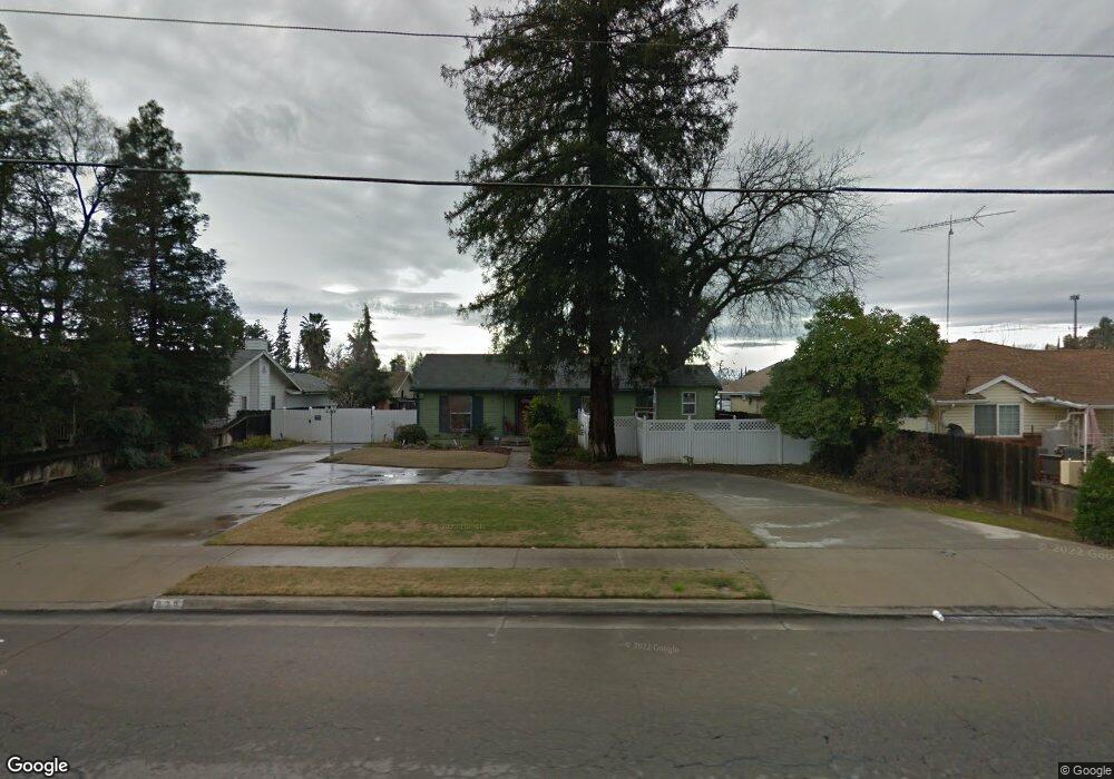
900 Sunnyside Ave Clovis, CA 93611
Estimated Value: $434,408 - $491,000
3
Beds
2
Baths
2,074
Sq Ft
$222/Sq Ft
Est. Value
About This Home
This home is located at 900 Sunnyside Ave, Clovis, CA 93611 and is currently estimated at $459,602, approximately $221 per square foot. 900 Sunnyside Ave is a home located in Fresno County with nearby schools including Clovis Elementary School, Clark Intermediate School, and Clovis High School.
Ownership History
Date
Name
Owned For
Owner Type
Purchase Details
Closed on
Sep 3, 1999
Sold by
Udall Todd D and Udall Sherri H
Bought by
Clovis Community Development Agency
Current Estimated Value
Purchase Details
Closed on
Apr 7, 1999
Sold by
Prock James L and Prock Veda F
Bought by
Udall Todd D and Udall Sherri H
Home Financials for this Owner
Home Financials are based on the most recent Mortgage that was taken out on this home.
Original Mortgage
$61,600
Interest Rate
6.84%
Create a Home Valuation Report for This Property
The Home Valuation Report is an in-depth analysis detailing your home's value as well as a comparison with similar homes in the area
Home Values in the Area
Average Home Value in this Area
Purchase History
| Date | Buyer | Sale Price | Title Company |
|---|---|---|---|
| Clovis Community Development Agency | -- | Chicago Title Co | |
| Udall Todd D | $70,000 | First American Title Co |
Source: Public Records
Mortgage History
| Date | Status | Borrower | Loan Amount |
|---|---|---|---|
| Previous Owner | Udall Todd D | $61,600 |
Source: Public Records
Tax History
| Year | Tax Paid | Tax Assessment Tax Assessment Total Assessment is a certain percentage of the fair market value that is determined by local assessors to be the total taxable value of land and additions on the property. | Land | Improvement |
|---|---|---|---|---|
| 2025 | $1,986 | $165,500 | $38,413 | $127,087 |
| 2023 | $1,911 | $159,075 | $36,922 | $122,153 |
| 2022 | $1,887 | $155,957 | $36,199 | $119,758 |
| 2021 | $1,835 | $152,900 | $35,490 | $117,410 |
| 2020 | $1,828 | $151,334 | $35,127 | $116,207 |
| 2019 | $1,793 | $148,368 | $34,439 | $113,929 |
| 2018 | $1,754 | $145,460 | $33,764 | $111,696 |
| 2017 | $1,725 | $142,608 | $33,102 | $109,506 |
| 2016 | $1,668 | $139,812 | $32,453 | $107,359 |
| 2015 | $1,643 | $137,713 | $31,966 | $105,747 |
| 2014 | $1,613 | $135,016 | $31,340 | $103,676 |
Source: Public Records
Map
Nearby Homes
- 760 Sunnyside Ave
- 1228 Jefferson Ave
- 1272 Bullard Ave
- 911 Stanford Ave
- 1606 Barstow Ave
- 1428 Miami Ave
- 1314 Ezie Ave
- 1622 Dennis Ave
- 1273 Bundy Ave
- 1498 Escalon Ave
- 860 Mcarthur Ave
- 1515 Keats Ave
- 1721 Beverly Ave
- 701 Mcarthur Ave
- 1755 4th St
- 1488 Whittier Ave
- 1946 Calimyrna Ave
- 1895 Dennis Ave
- 63156 Regatta Vista Ln
- 1584 Laverne Ave
- 914 Sunnyside Ave
- 814 Sunnyside Ave
- 905 Acacia Ave
- 924 Sunnyside Ave
- 915 Acacia Ave
- 1366 Browning Ave
- 1396 Browning Ave
- 935 Acacia Ave
- 1346 Browning Ave
- 1410 Wrenwood Ave
- 930 Sunnyside Ave
- 1415 Wrenwood Ave
- 1326 Browning Ave
- 940 Sunnyside Ave
- 1424 Wrenwood Ave
- 1294 Estabrook Ave
- 1416 Browning Ave
- 1425 Wrenwood Ave
- 925 Sunnyside Ave
- 912 Acacia Ave
Your Personal Tour Guide
Ask me questions while you tour the home.